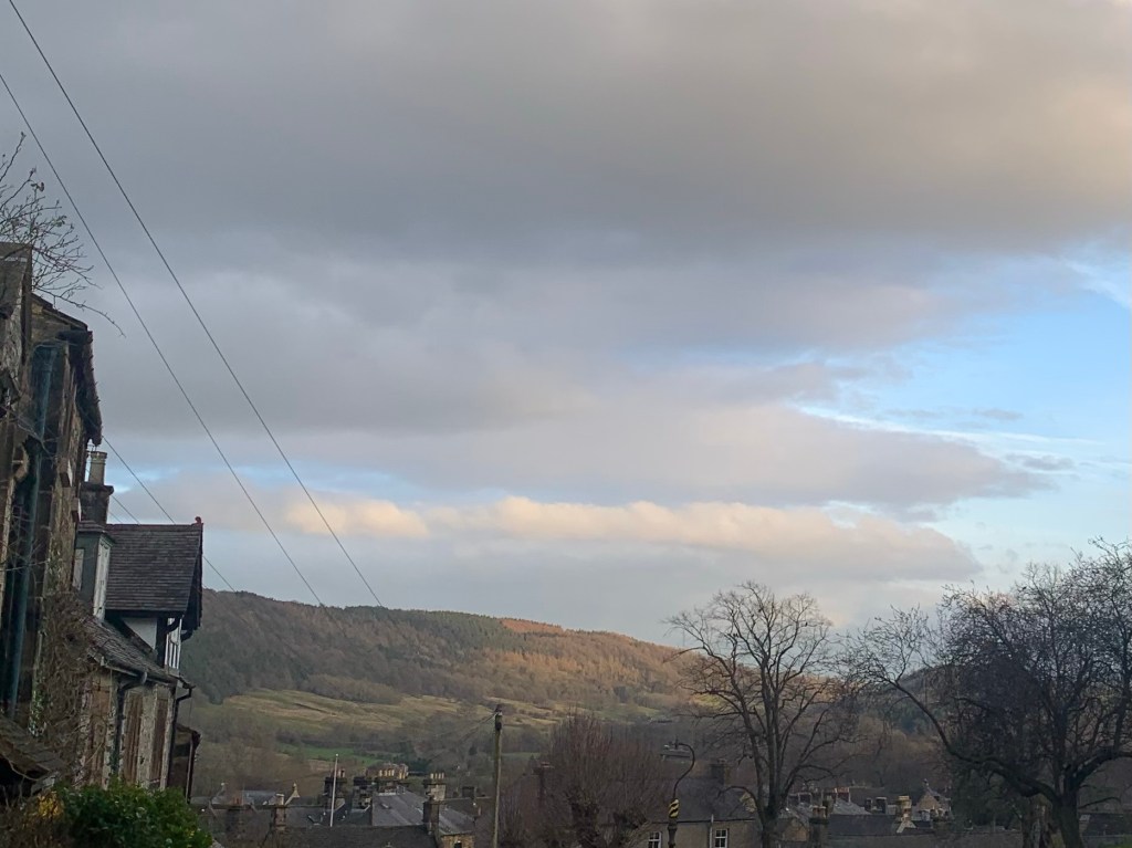
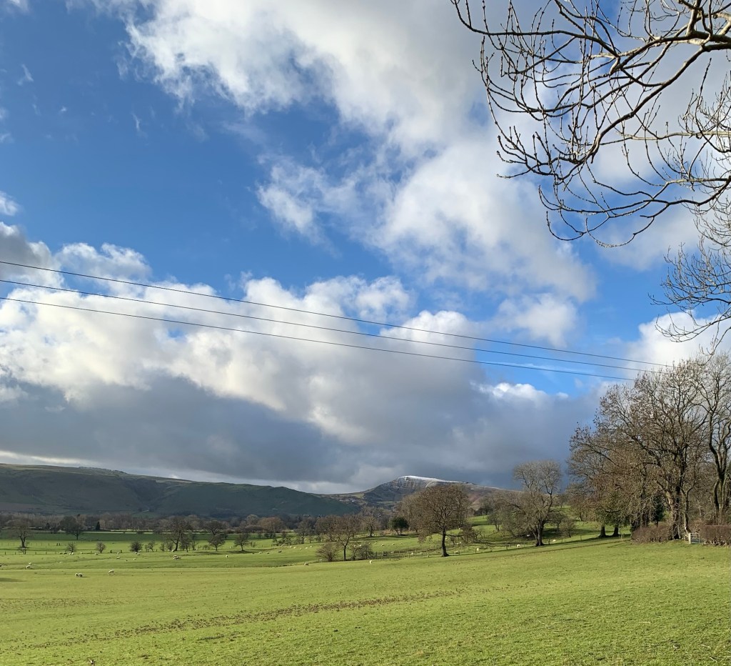
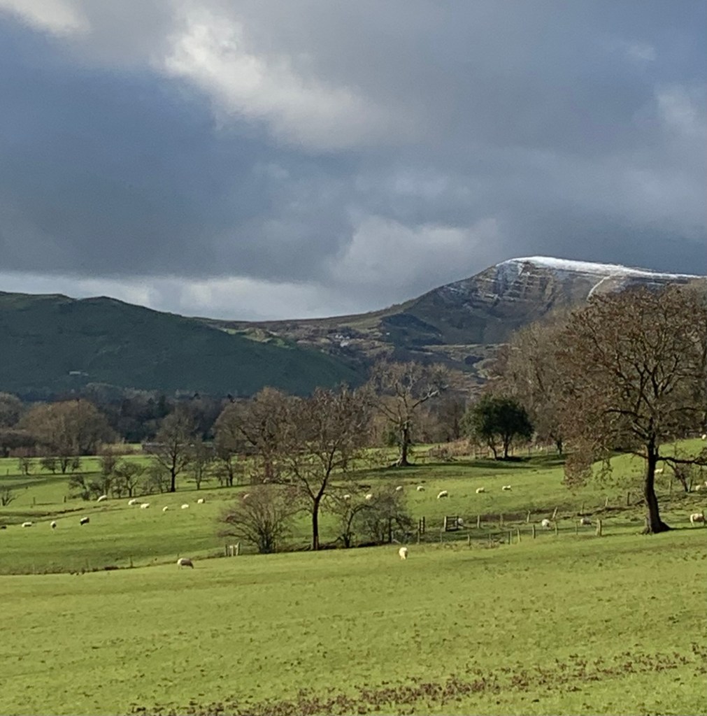
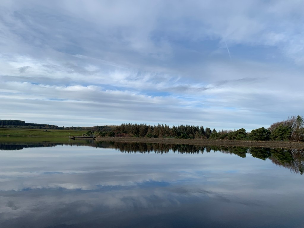
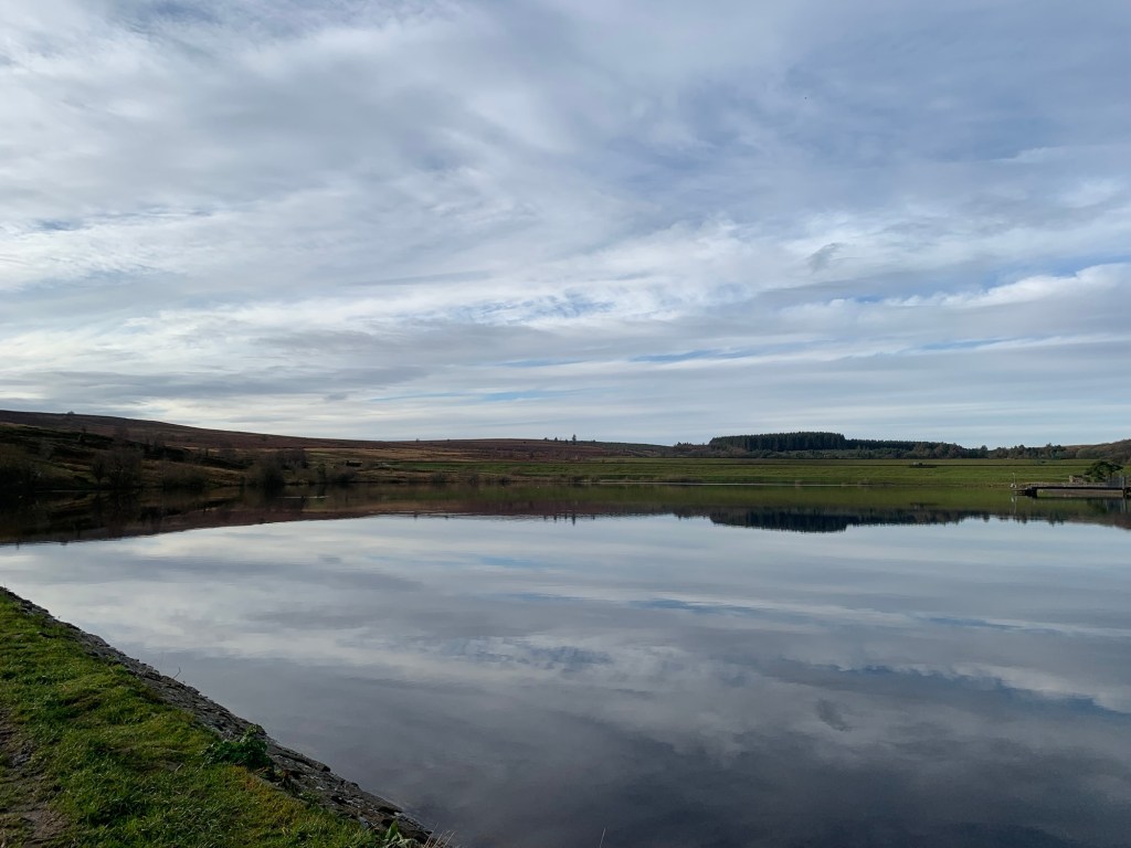
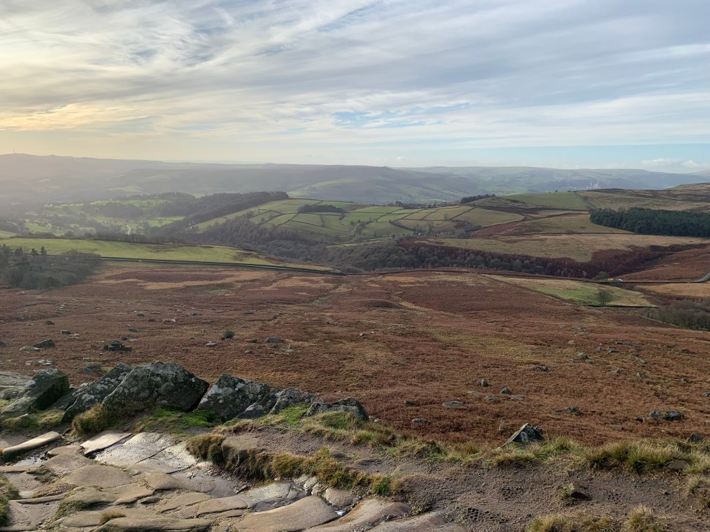
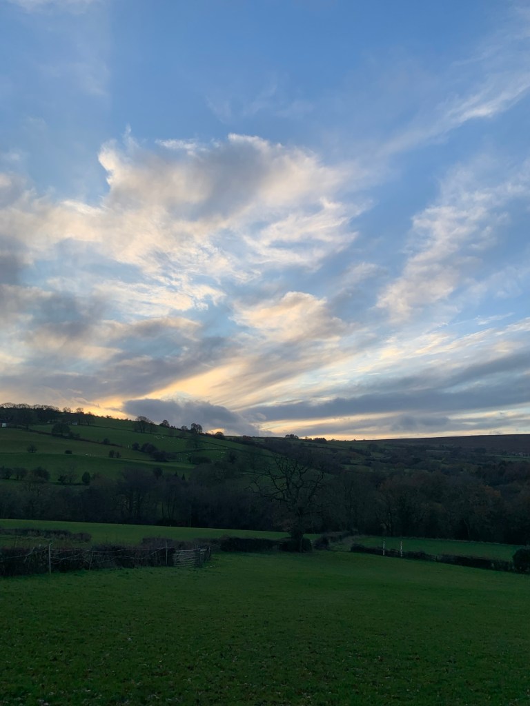
So today we were paid back for the previous three walks with beautiful weather although to be fair, after the first few hours the snow, wind and rain subsided a little and throughout the day we still managed to grab some good views and atmospheric skies.
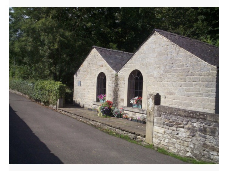
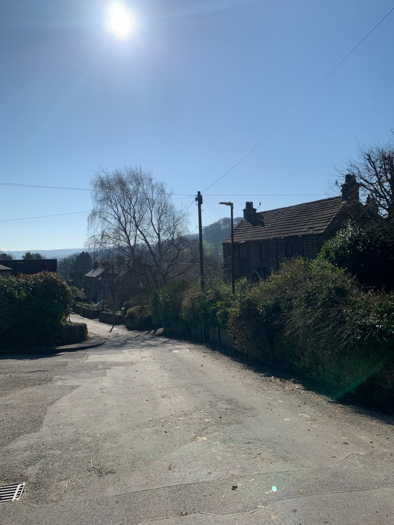
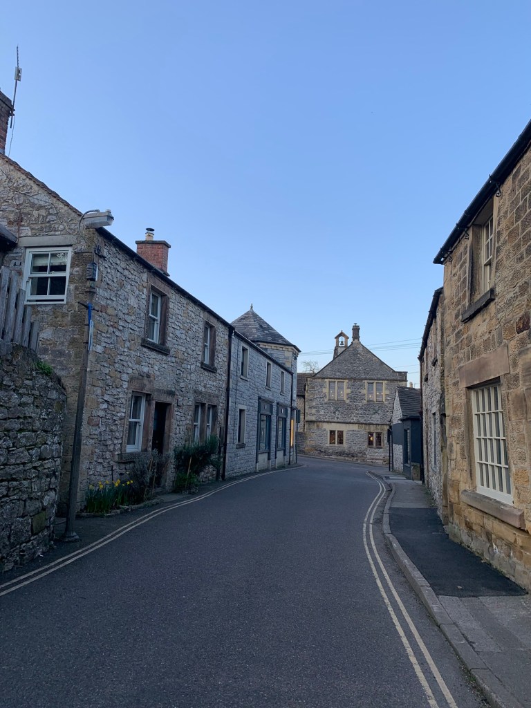
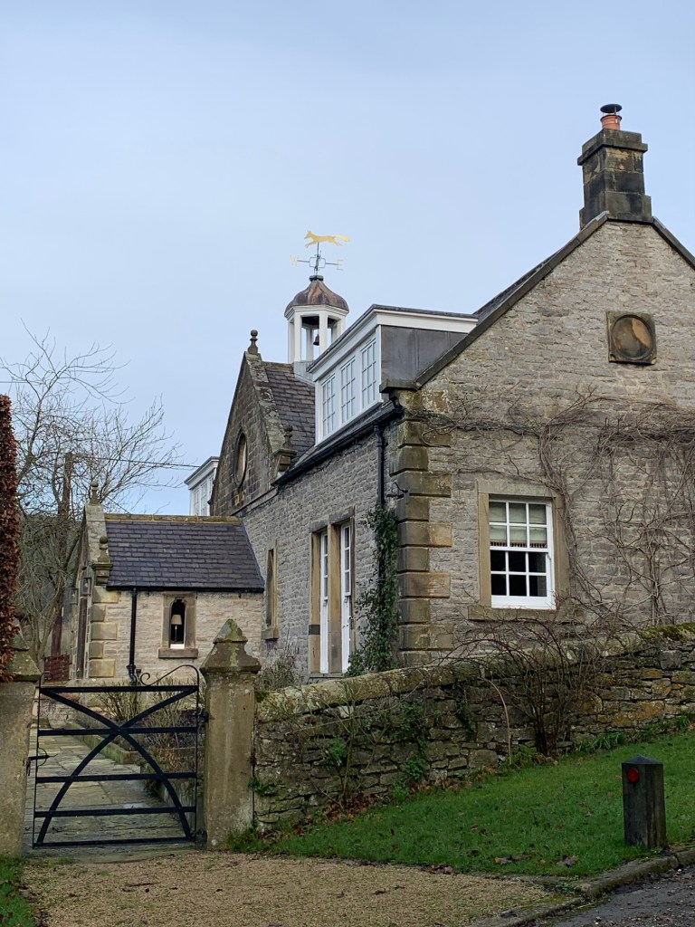
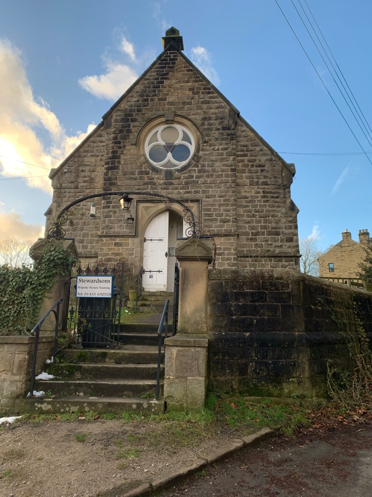
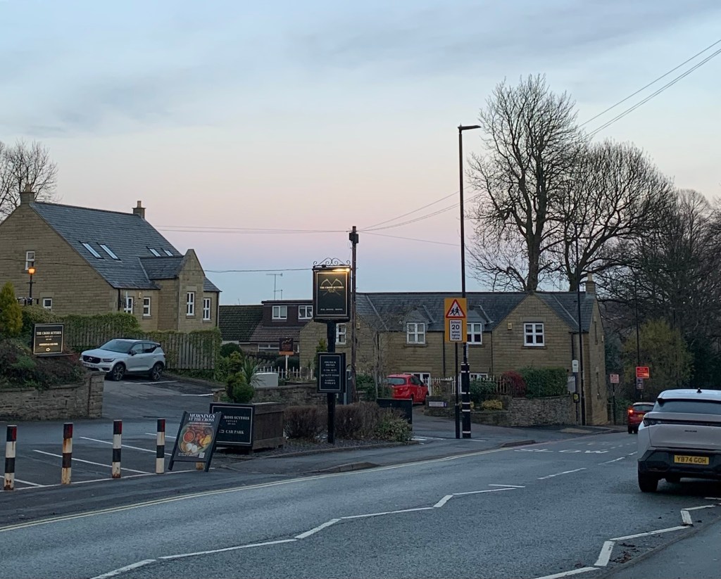
The bus drops us just past Totley Primary School and we continue to walk along the main road with the Cross Scythes over on our right until the left turn for Totley Hall Lane takes us down through some interesting snippets of old Totley, including the old 19th century school building, which would have been quaint and photogenic on a better day.
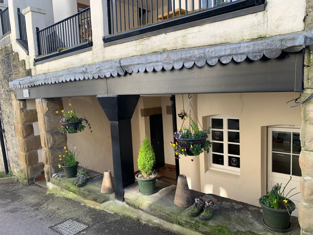
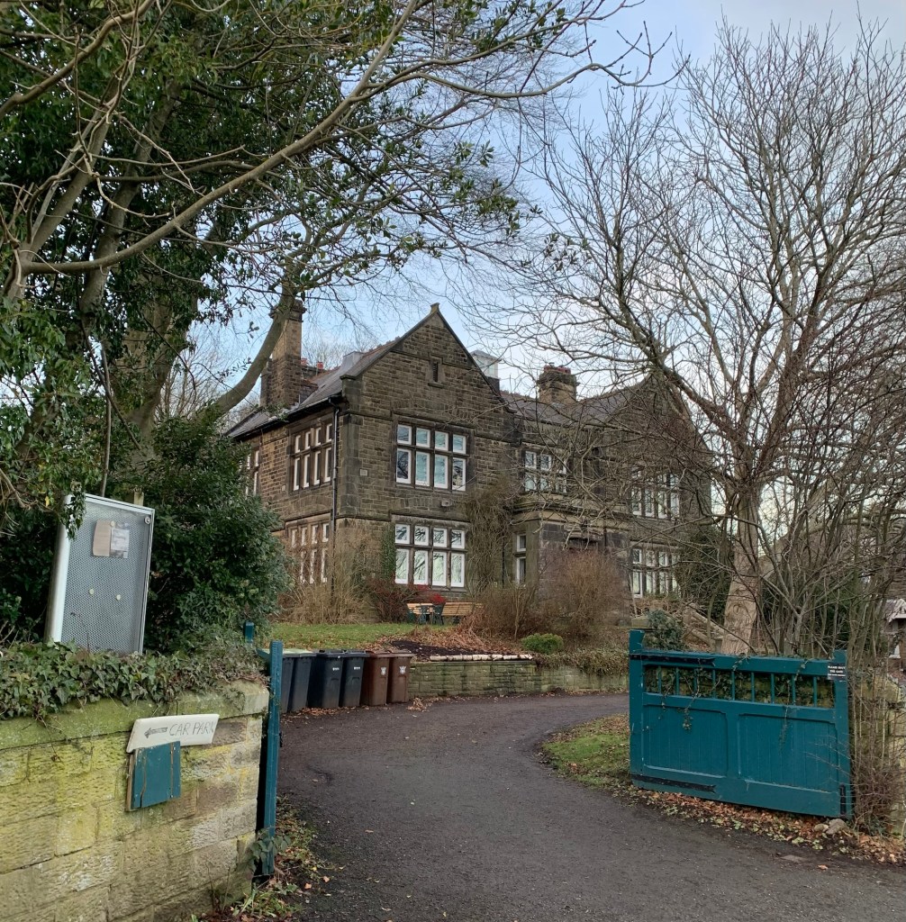
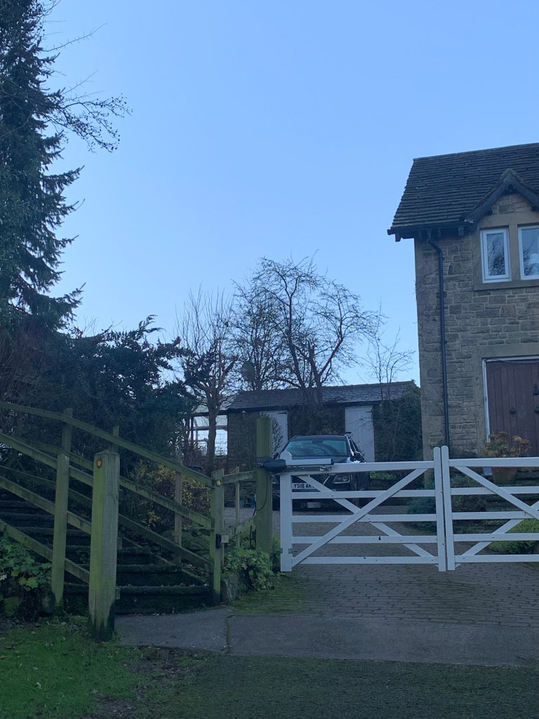
We’re soon passing Totley Hall on our right hand side, now luxury apartments, but with a long history in the area, dating back to 1623.
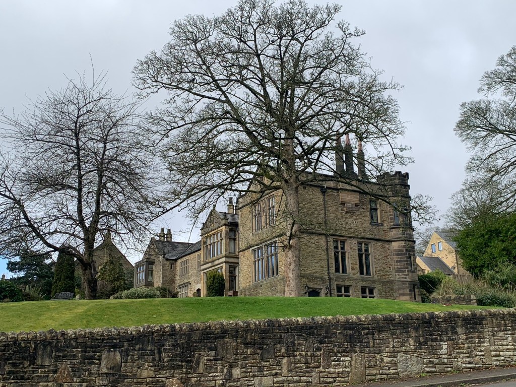
This turns out to be the first of a number of old halls on or near today’s walk and plants the idea to try to link them all in one walk on another ( finer) day.
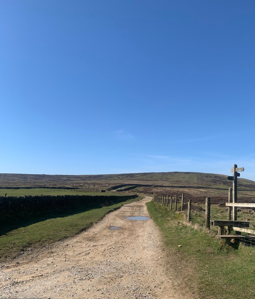
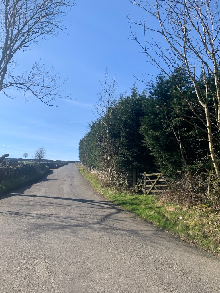
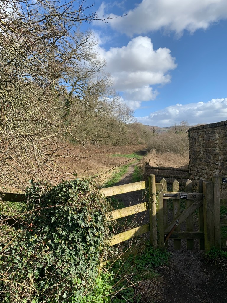
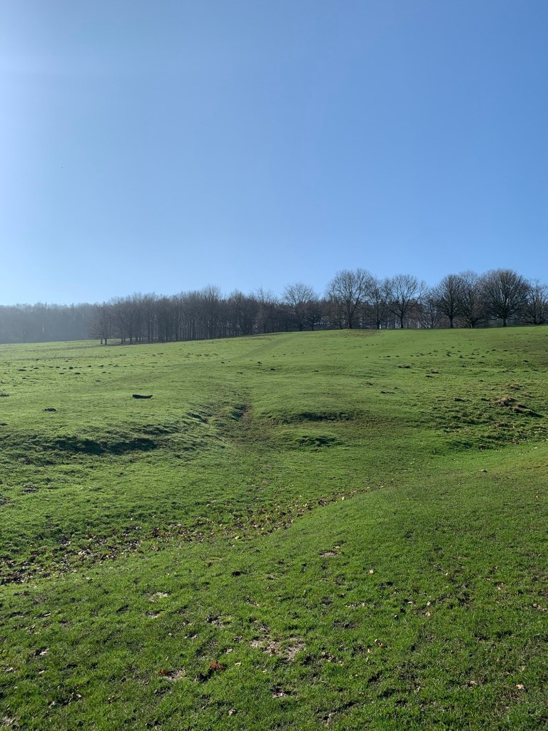
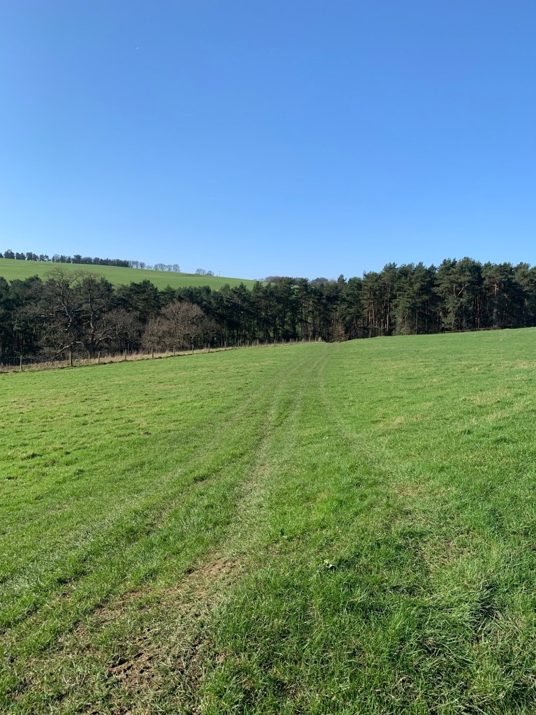
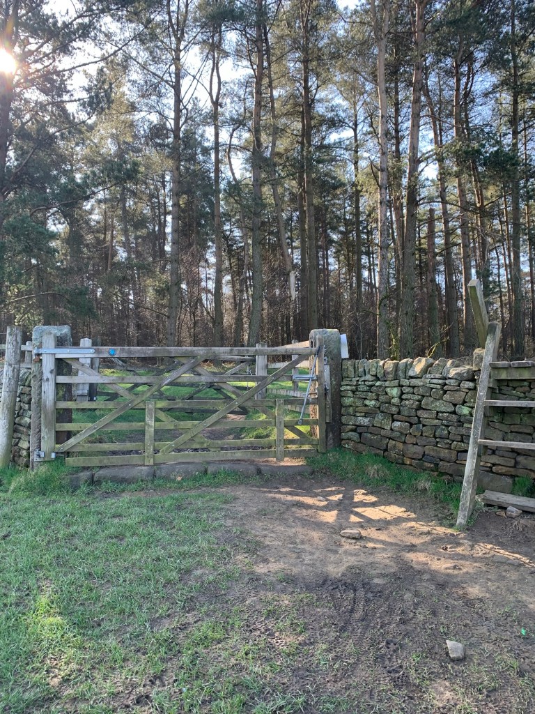
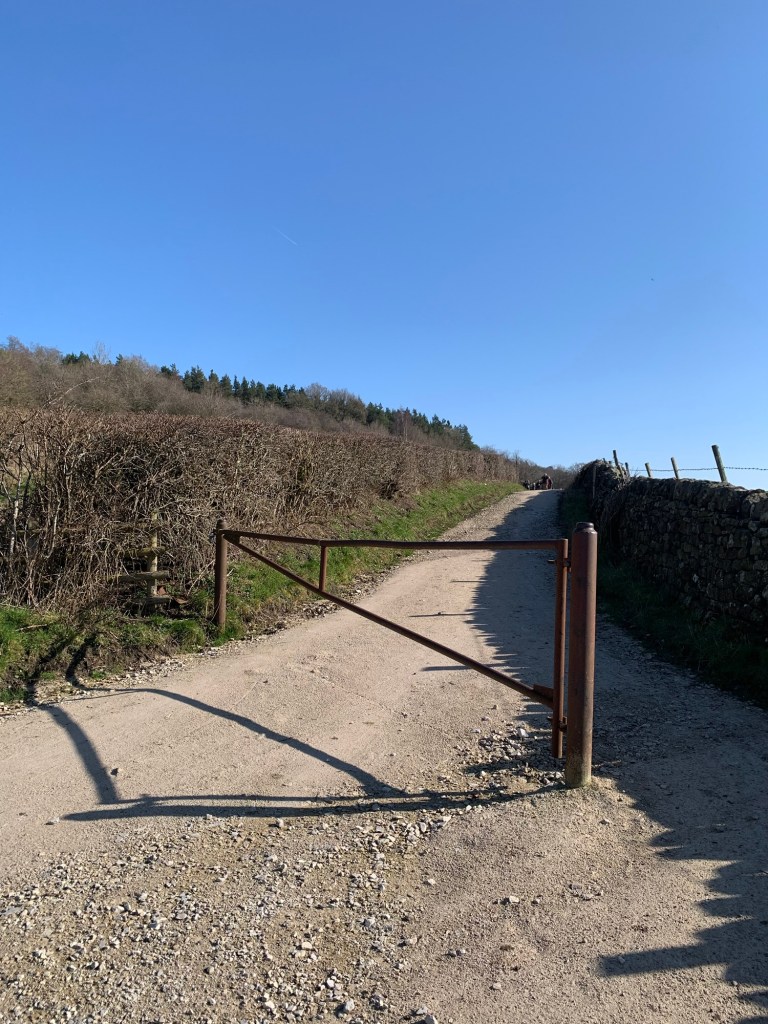
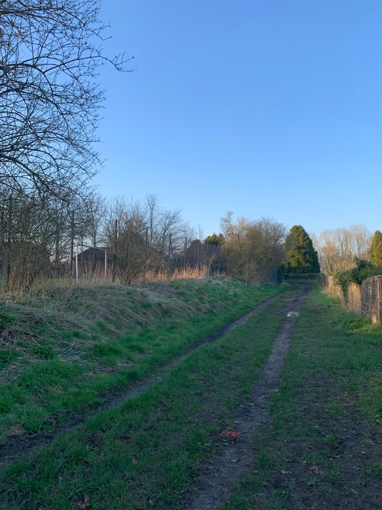
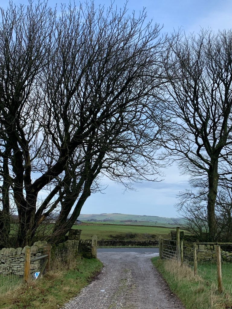
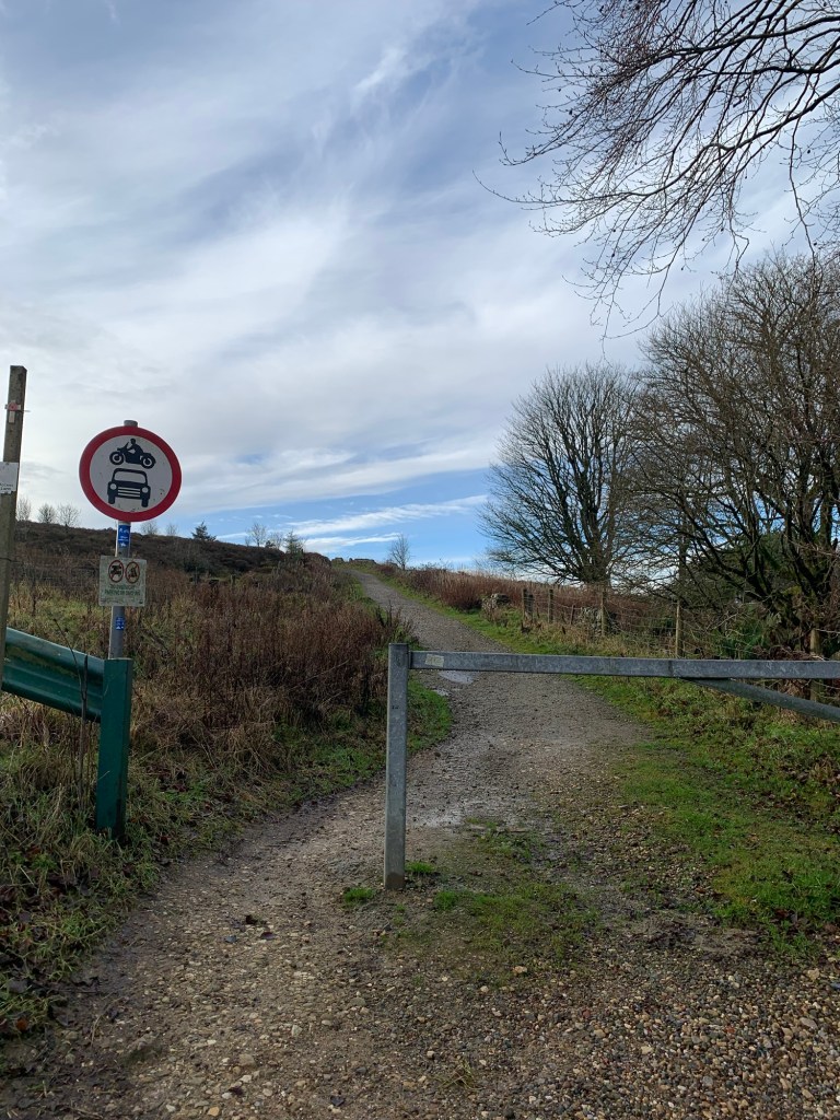
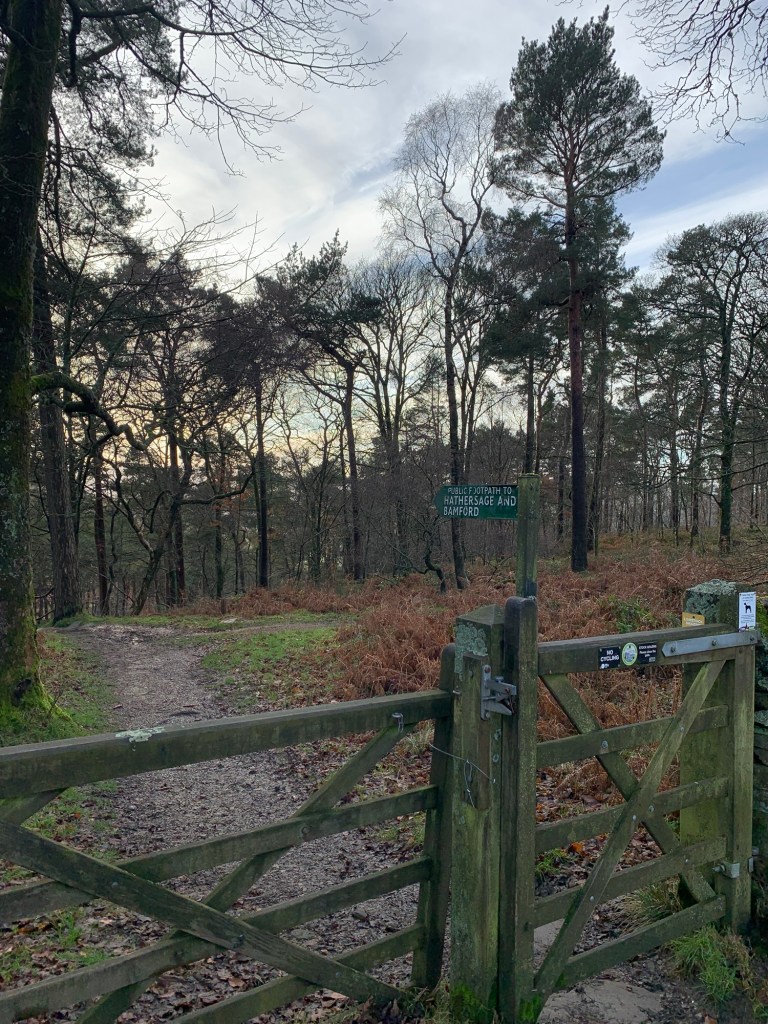
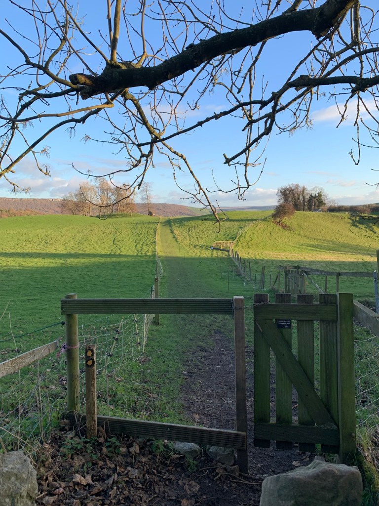
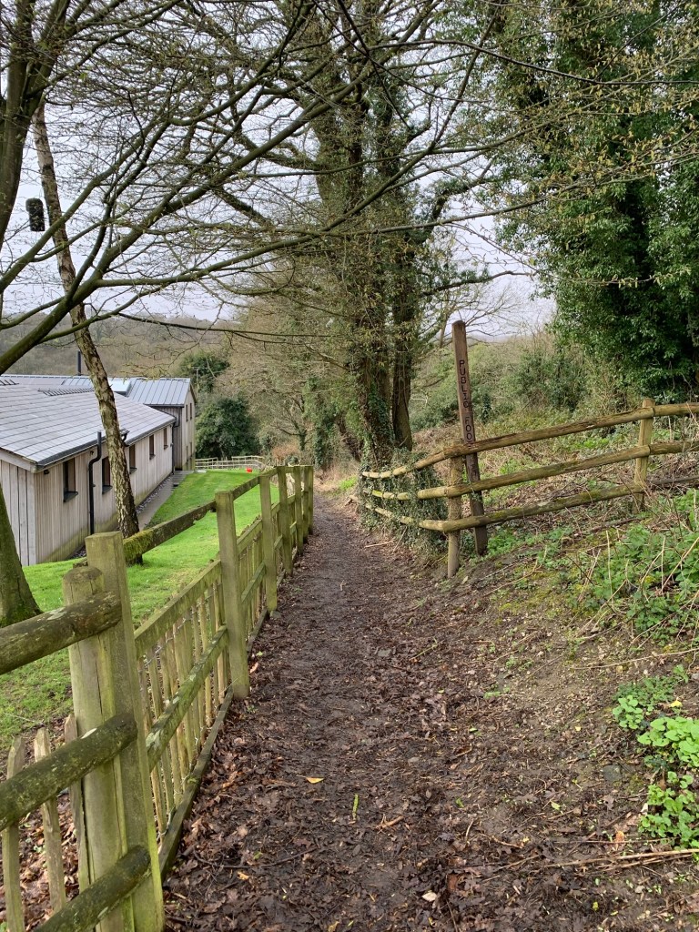
The lane soon becomes a track and after a metal gate where the tracks fork, we take the right fork and head across fields to Gillifield Woods.
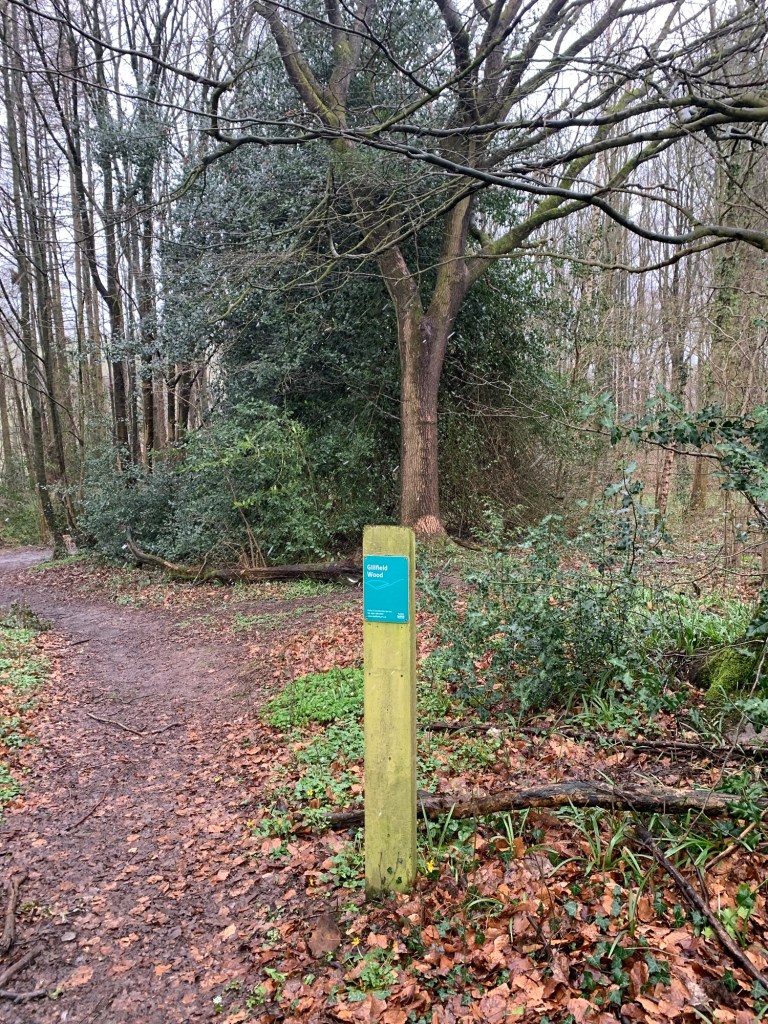
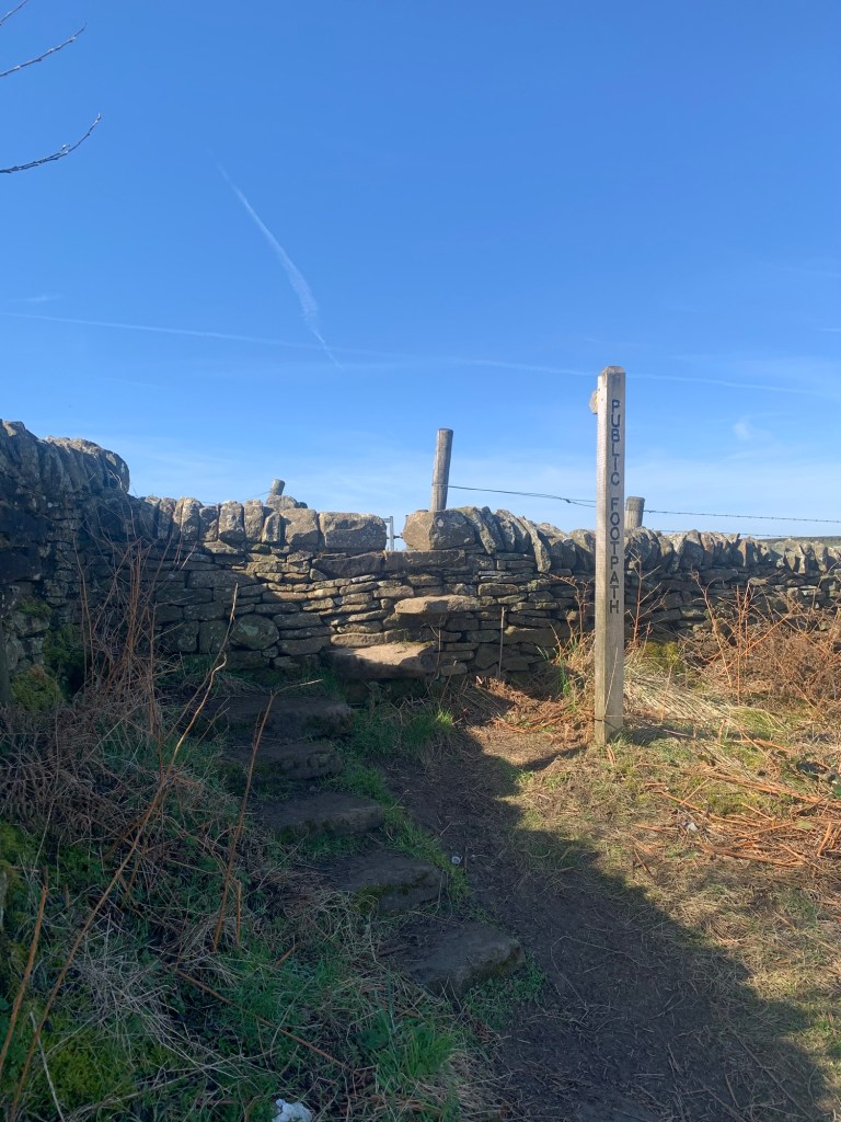
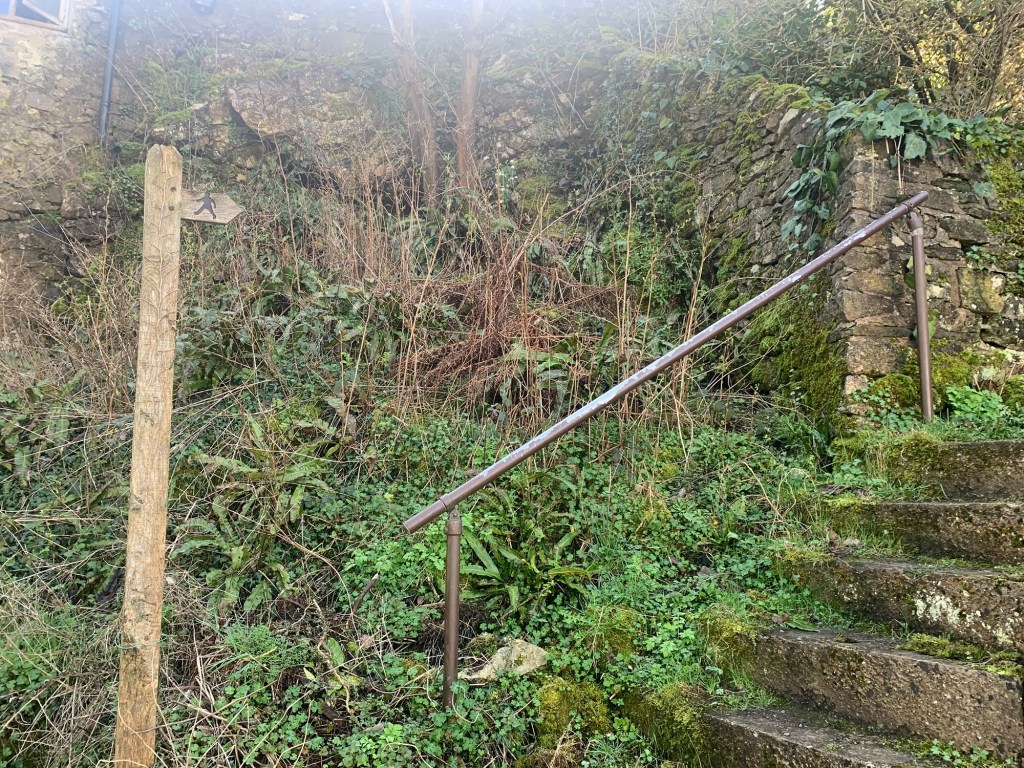
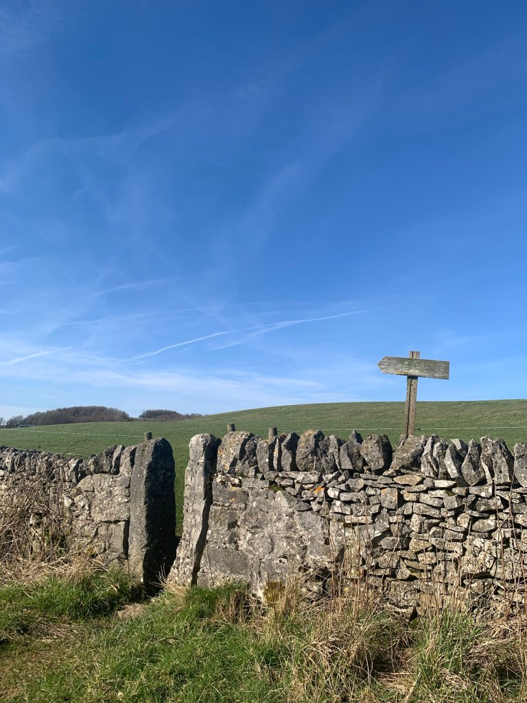
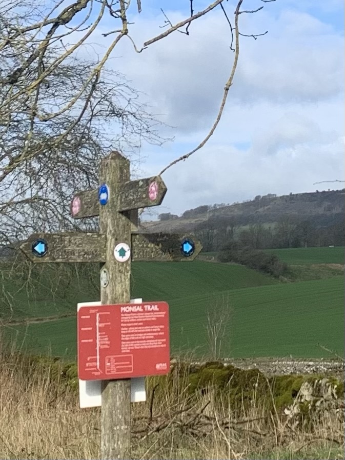
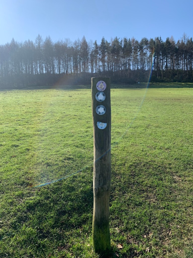
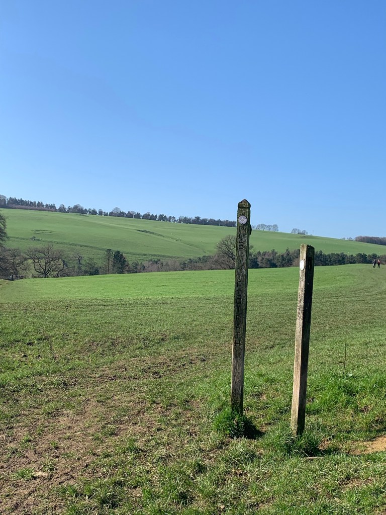
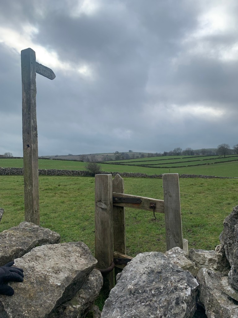
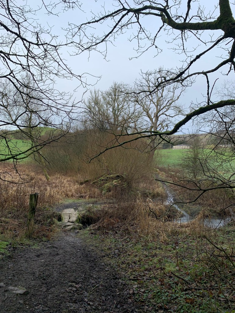
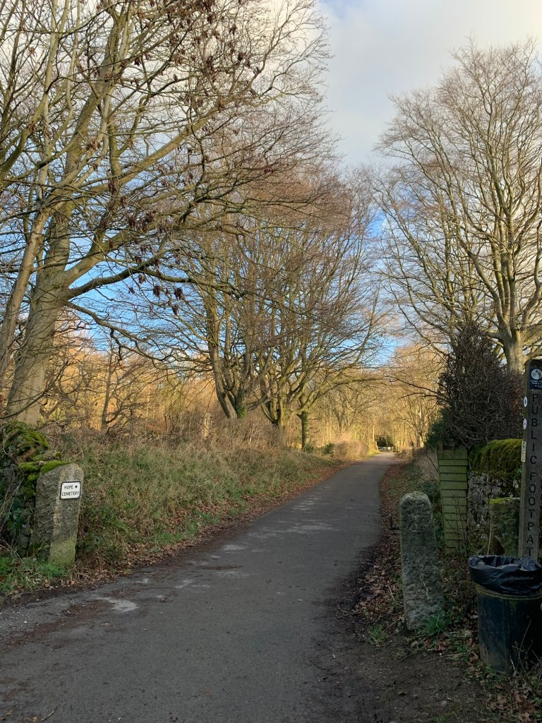
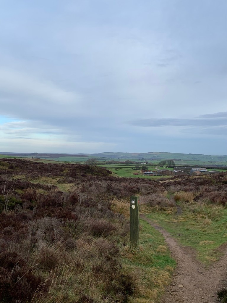
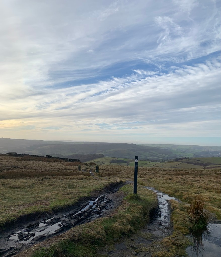
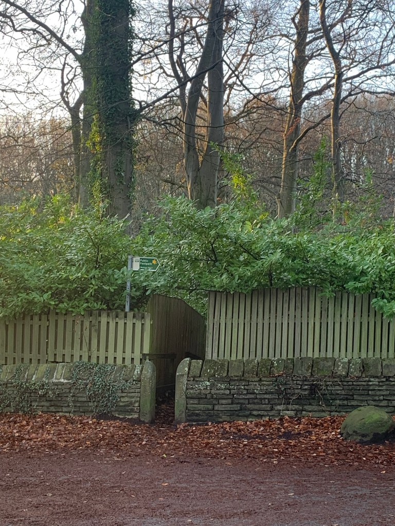
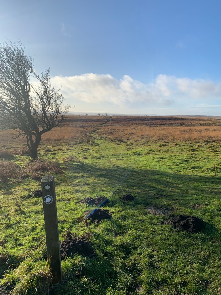
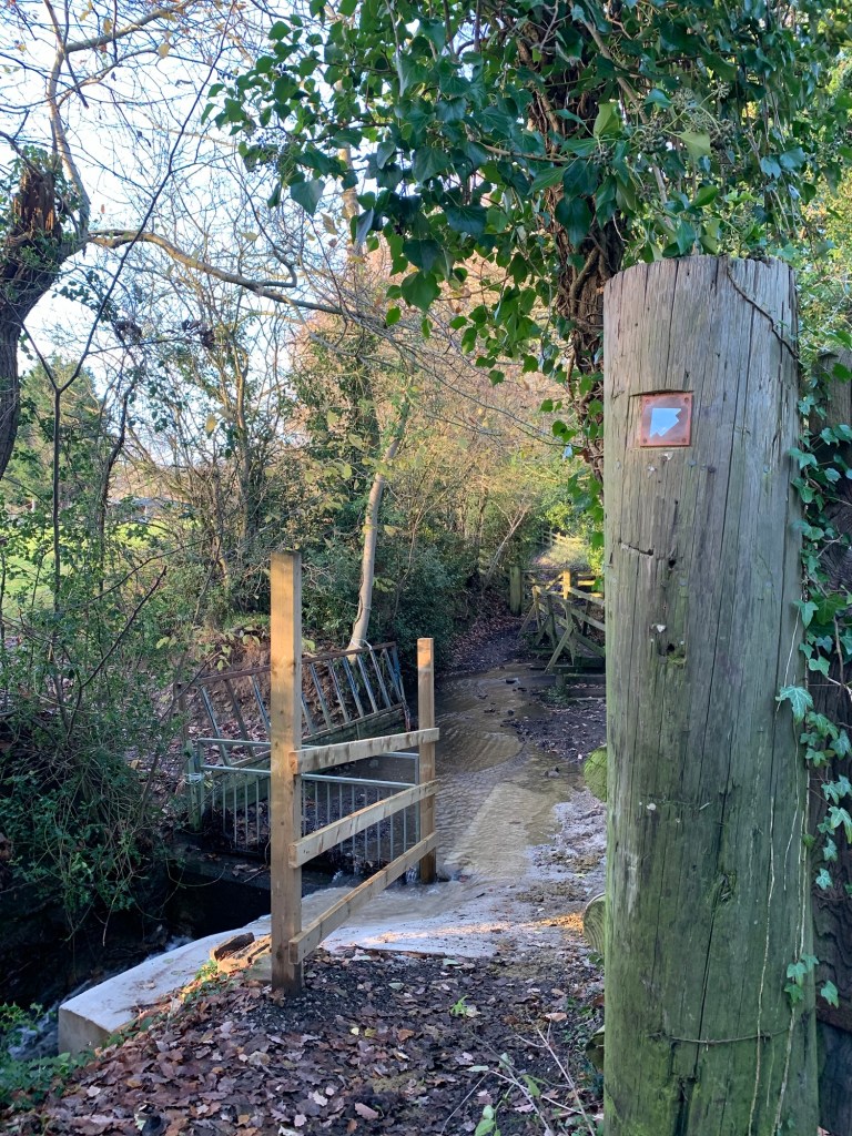
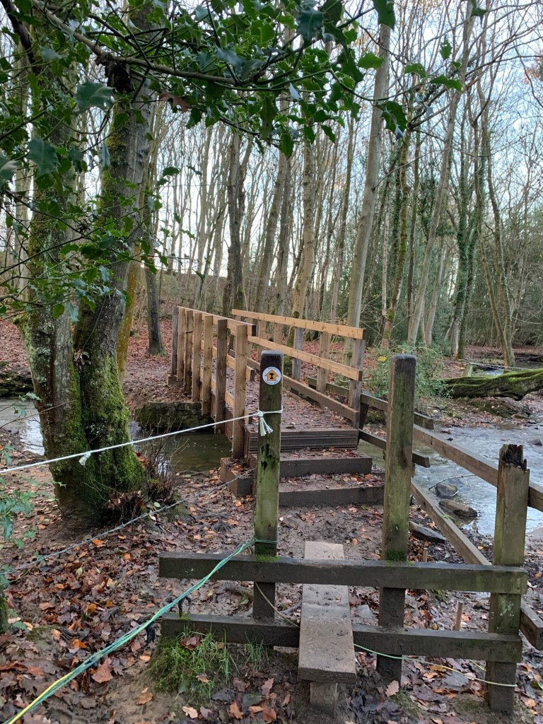
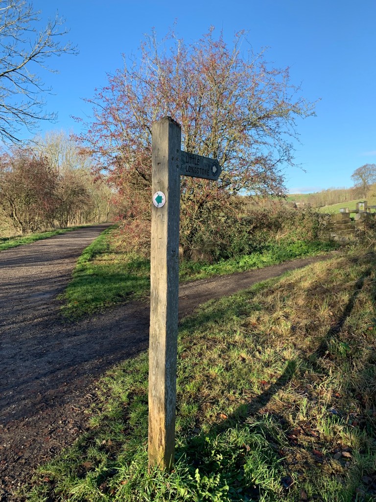
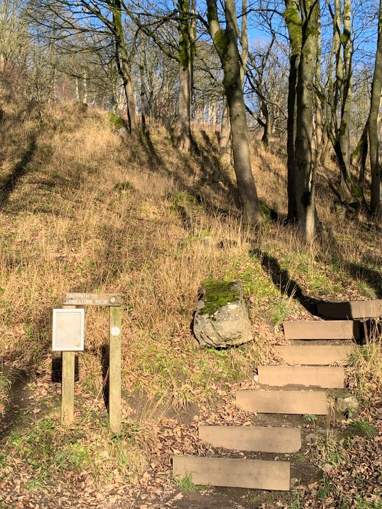
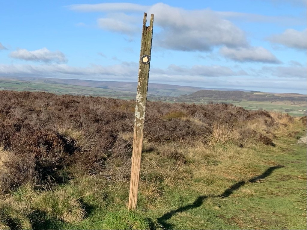
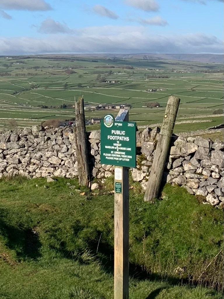
We turn left briefly along the main woodland path and then at a wooden post way marker
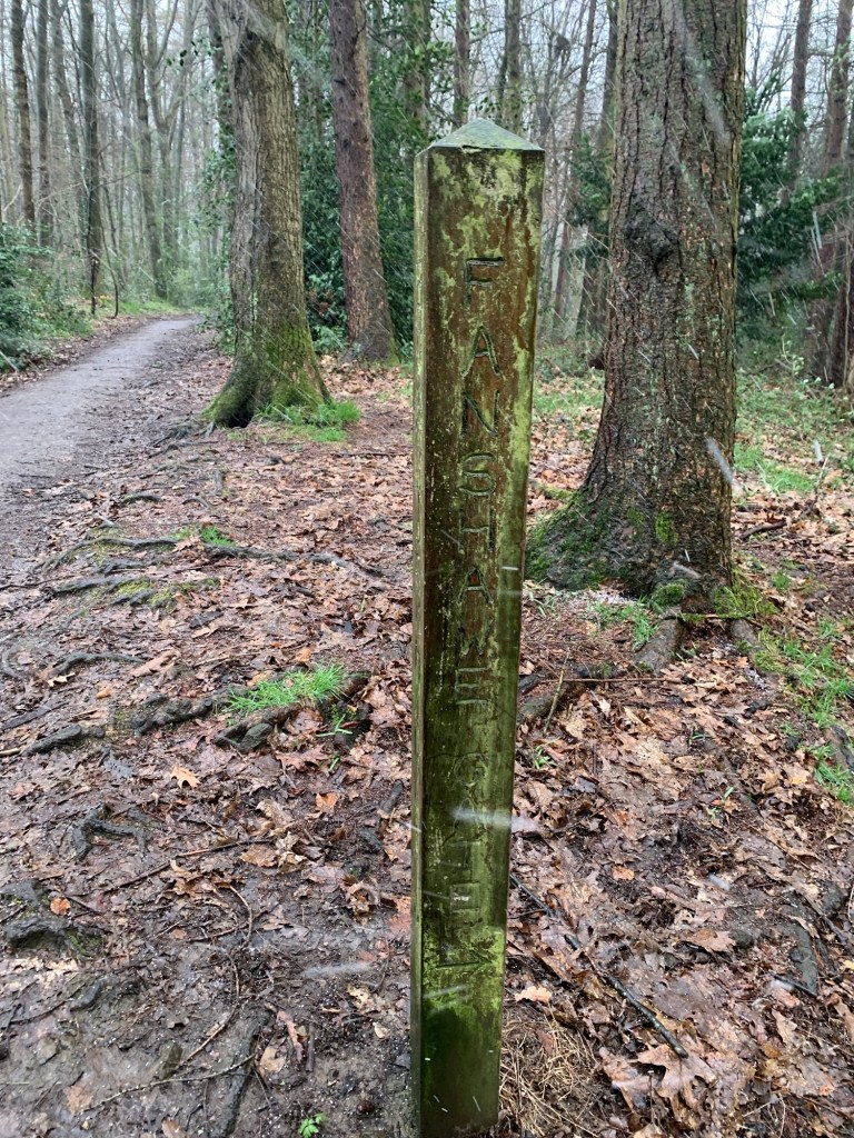
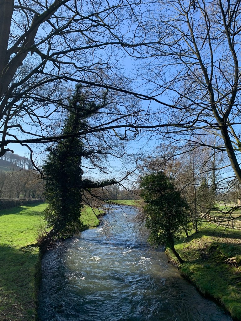
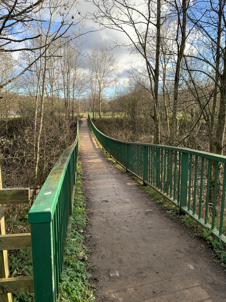
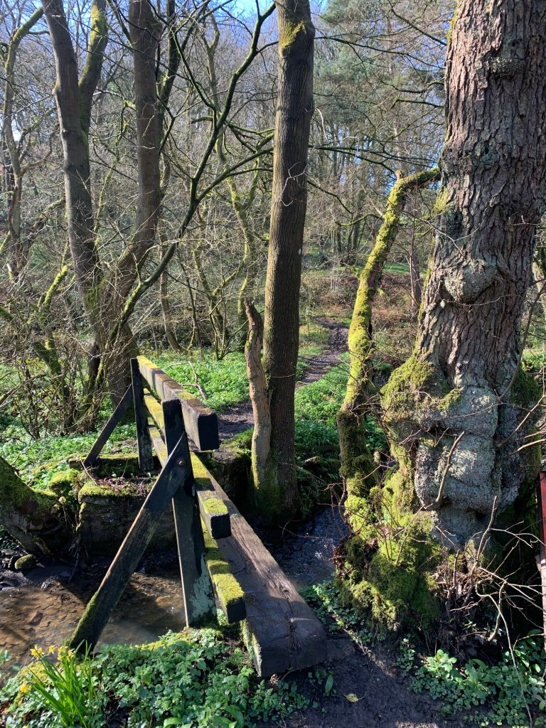
we head off to the right to cross the footbridge over Totley Brook ( the forerunner of the Sheaf)
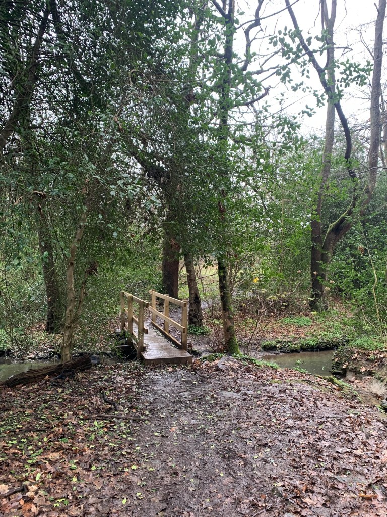
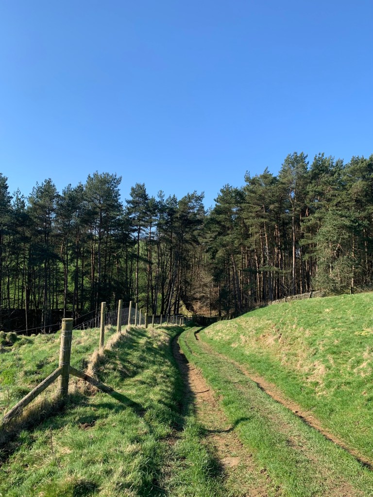
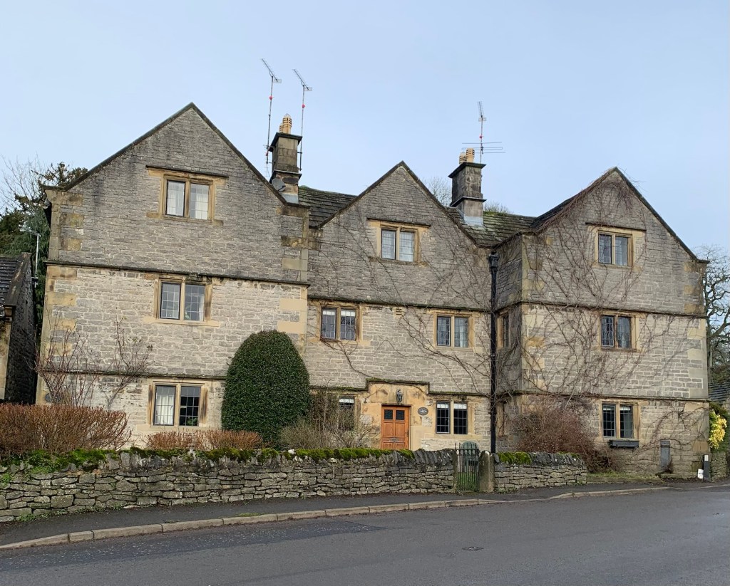
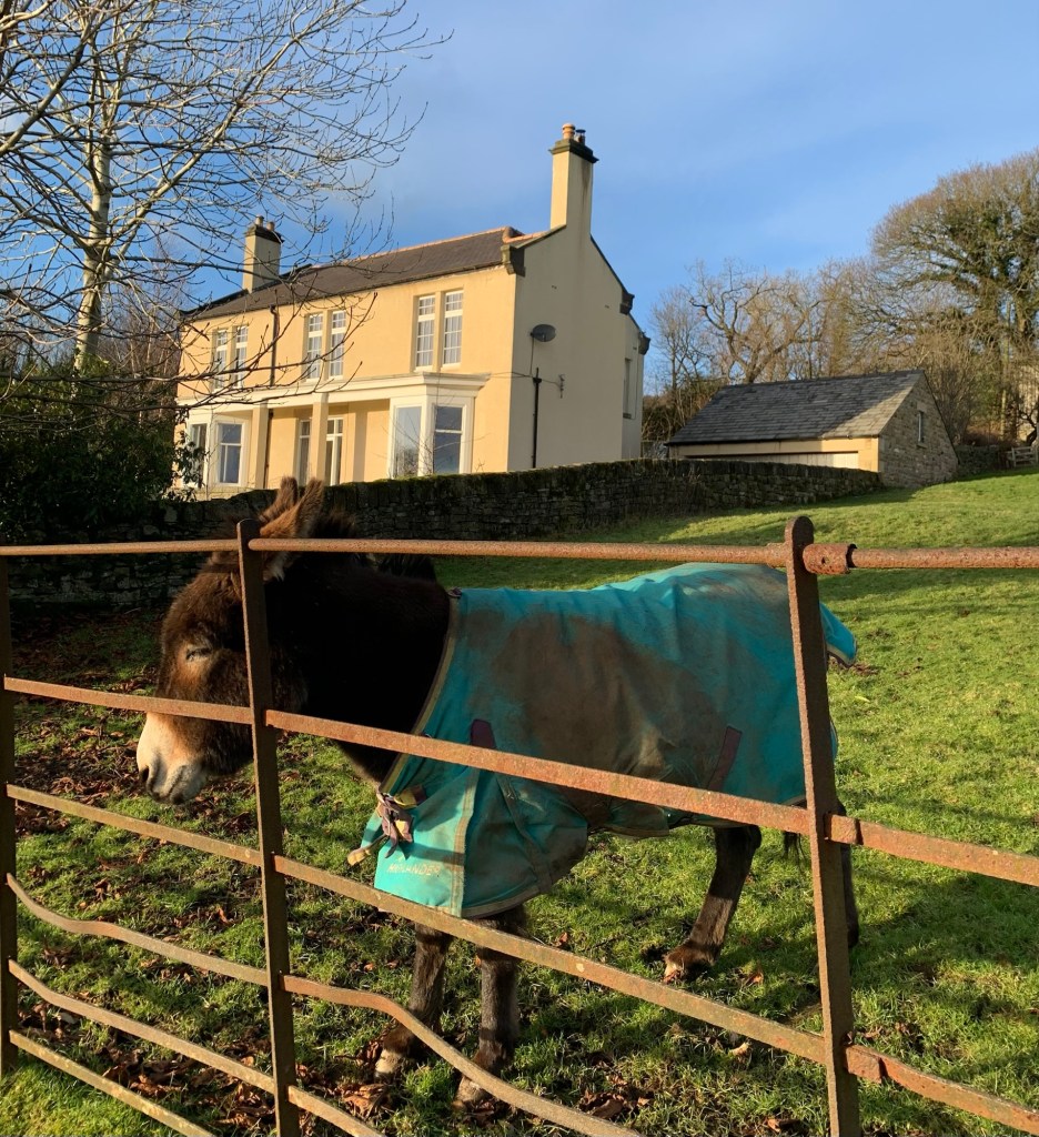
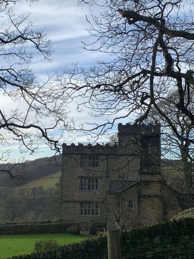
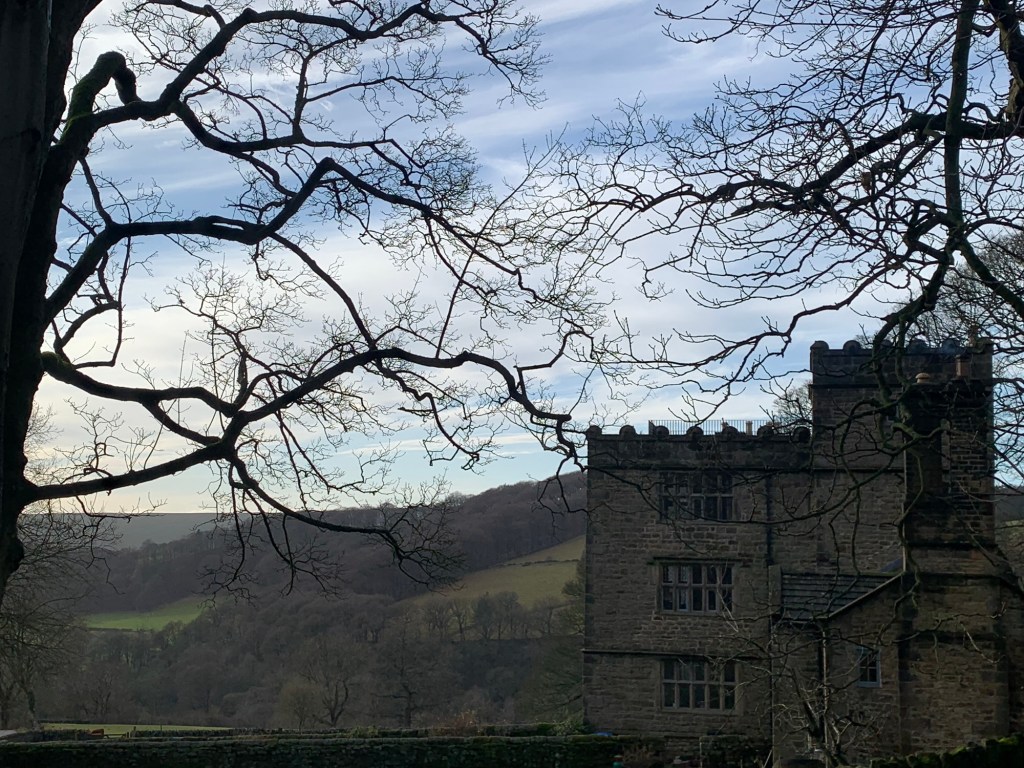
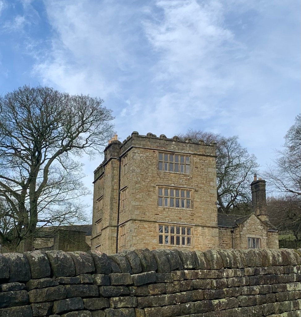
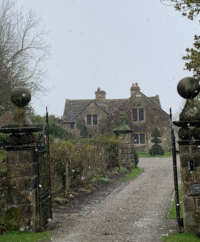
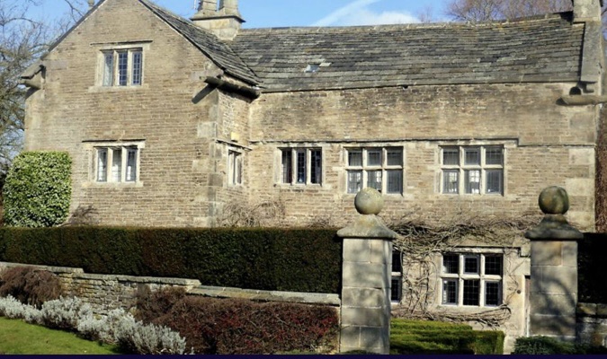
and uphill on the opposite side on a steep but easy to follow path which brings us to Fanshawe Gate ( road) and the second hall of the day, Fanshaw Gate Hall.
In addition to the halls of this area, there are also a lot of “Gates” (as in roads) around here, showing just how long some of these routes have been in use. Gate ( meaning road) comes from the Old Norse “Gata” and possibly the Old English “Geat” ( That one sounds like proper Sheffield to me!)
When is a gate not a gate?…
Street names in Chesterfield and York spring to mind as further examples.
Getting back to the hall, Fanshawe Gate Hall was home to the Fanshawe family from 1260 until as recently as 1944.
“Who were the Fanshawes?” I hear you ask. Well for further information try the link above , or for a quick answer; they were an influential land-owning family with an Elizabethan judiciary member of the temple, Royalist supporters of King Charles 1st during in the Civil War and an educational benefactor who founded the Dronfield school over 400 years ago.
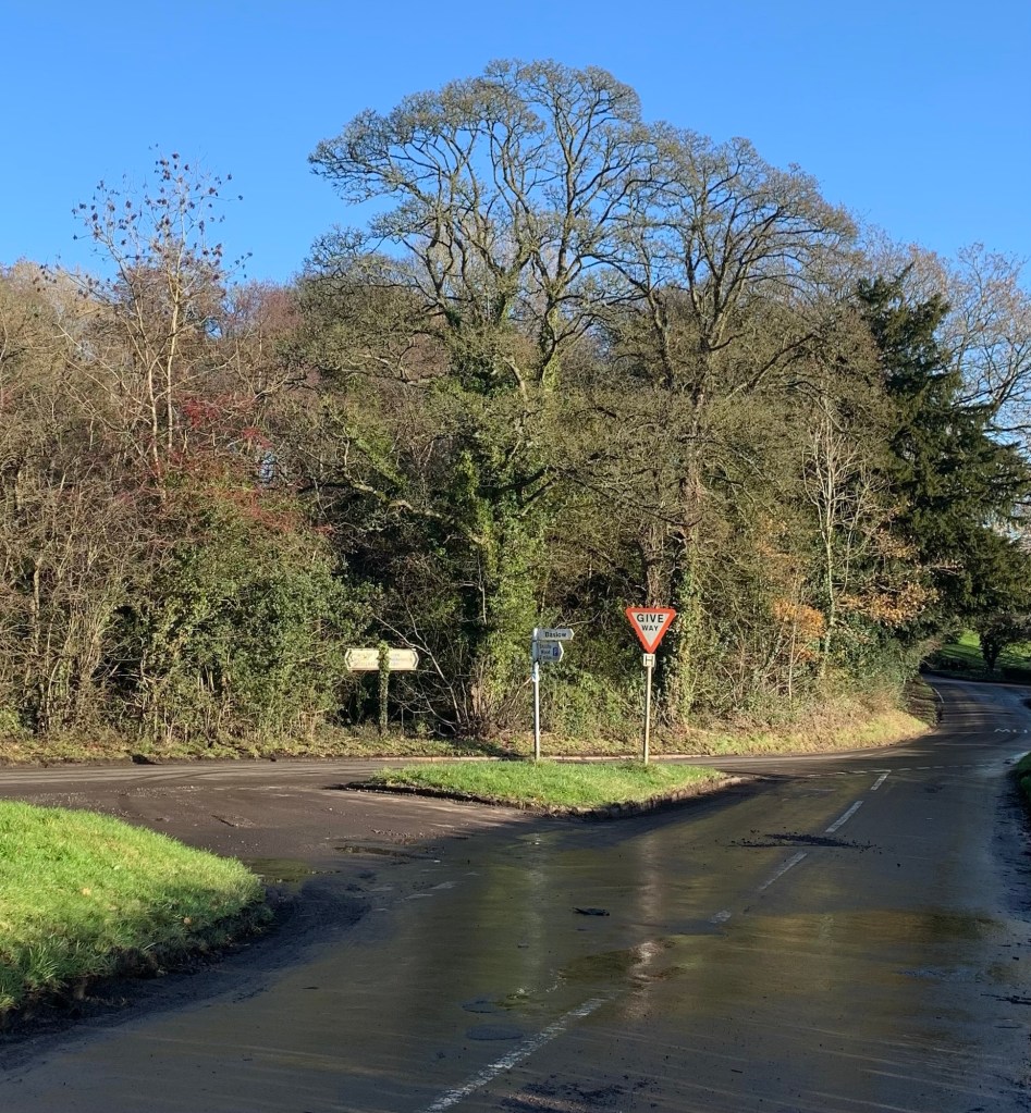
Back to the walk; we make our way to the right along Fanshawe Gate and follow it as it turns through 90 degrees and joins the main Holmesfield to Owler Bar road.
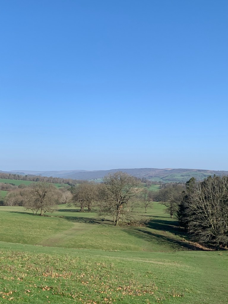
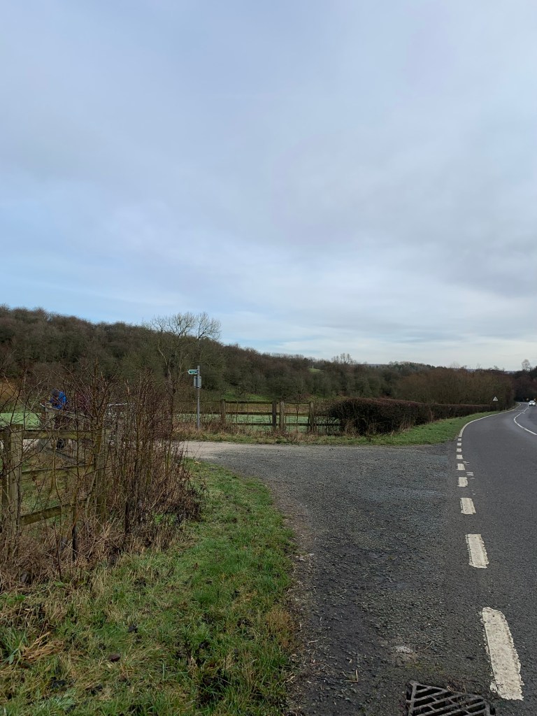
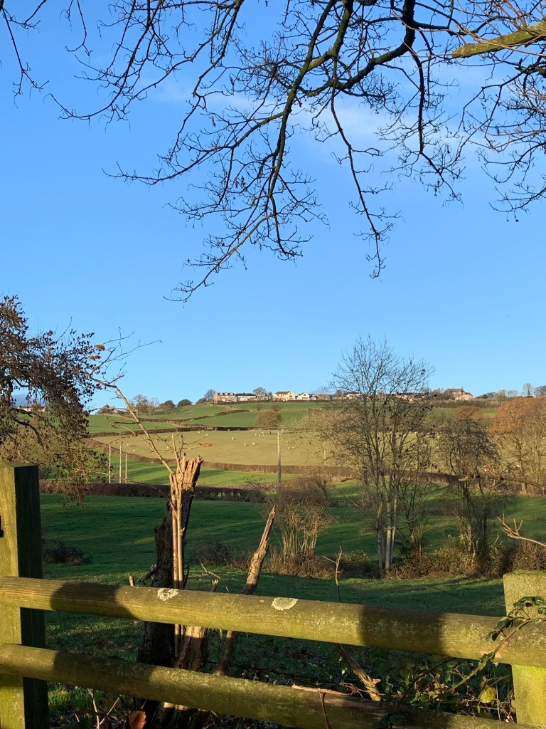
It’s a busy road and a tricky crossing but the footpath we need is directly opposite
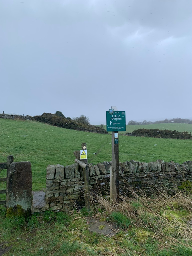
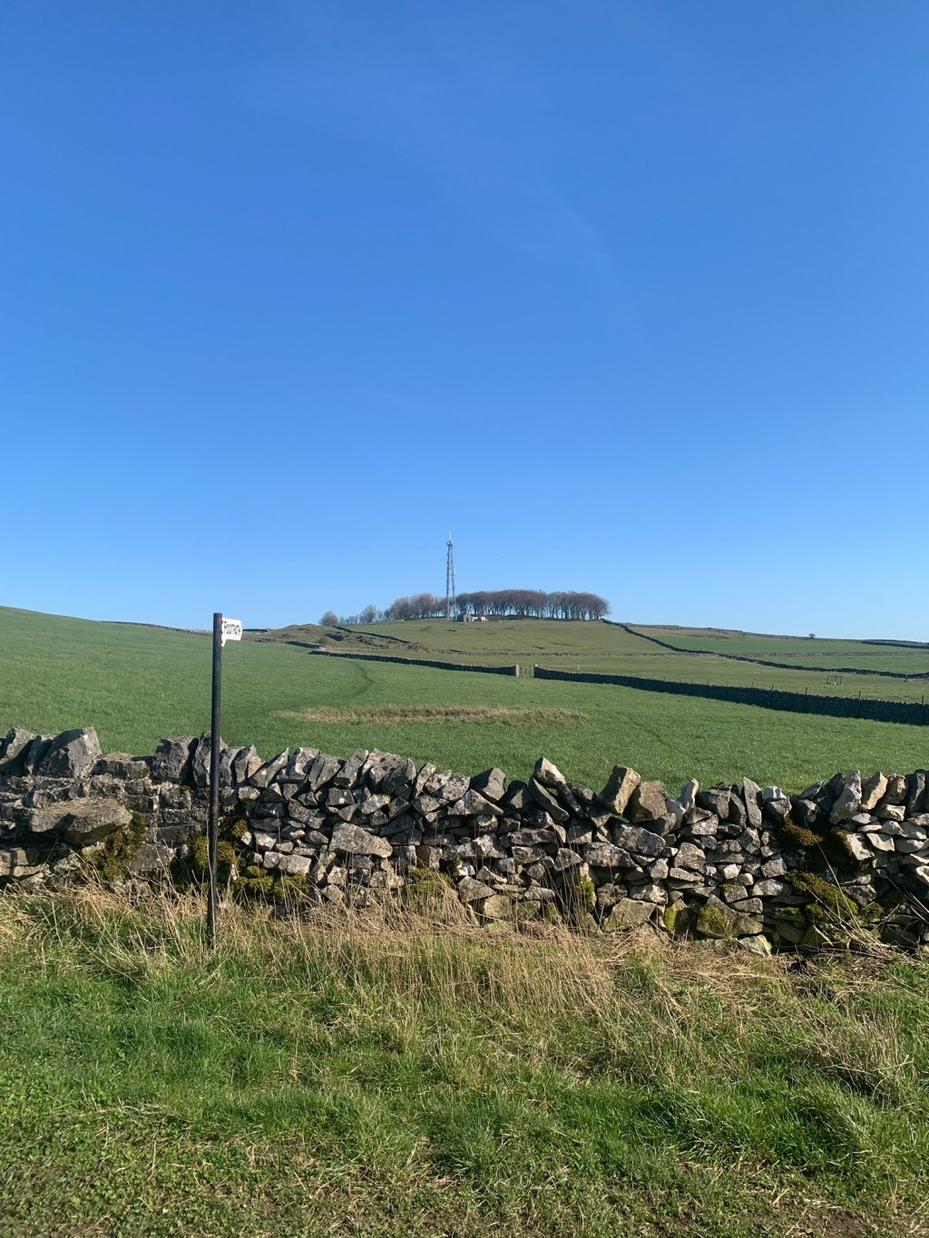
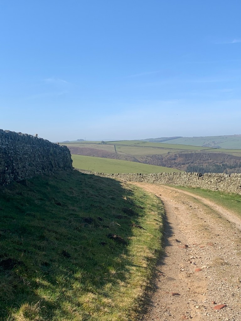
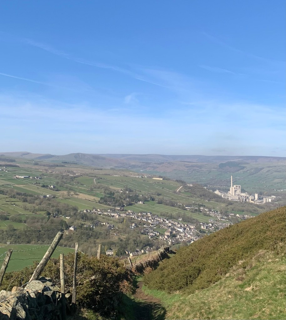
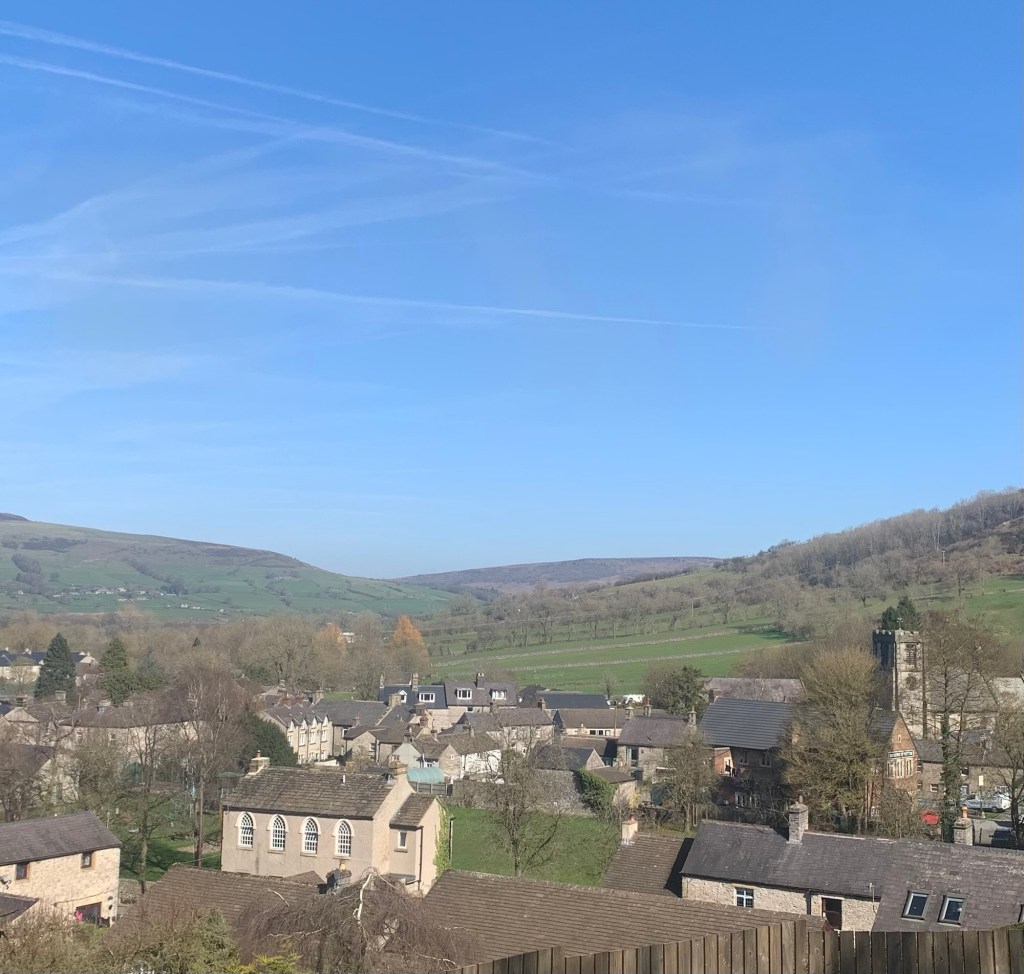
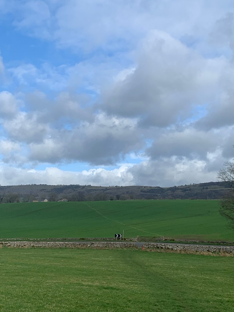
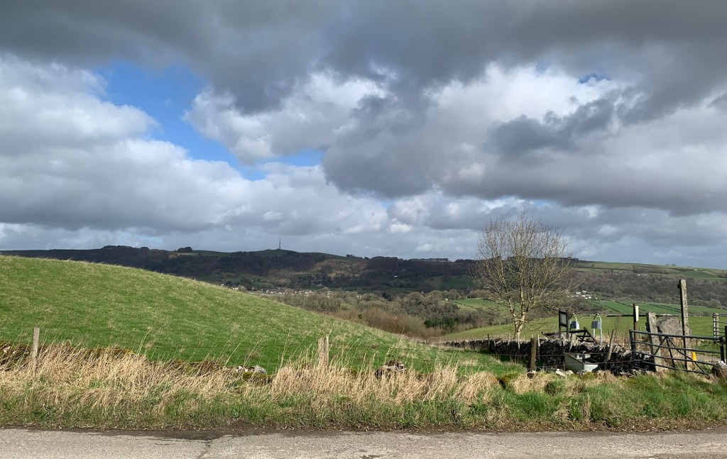
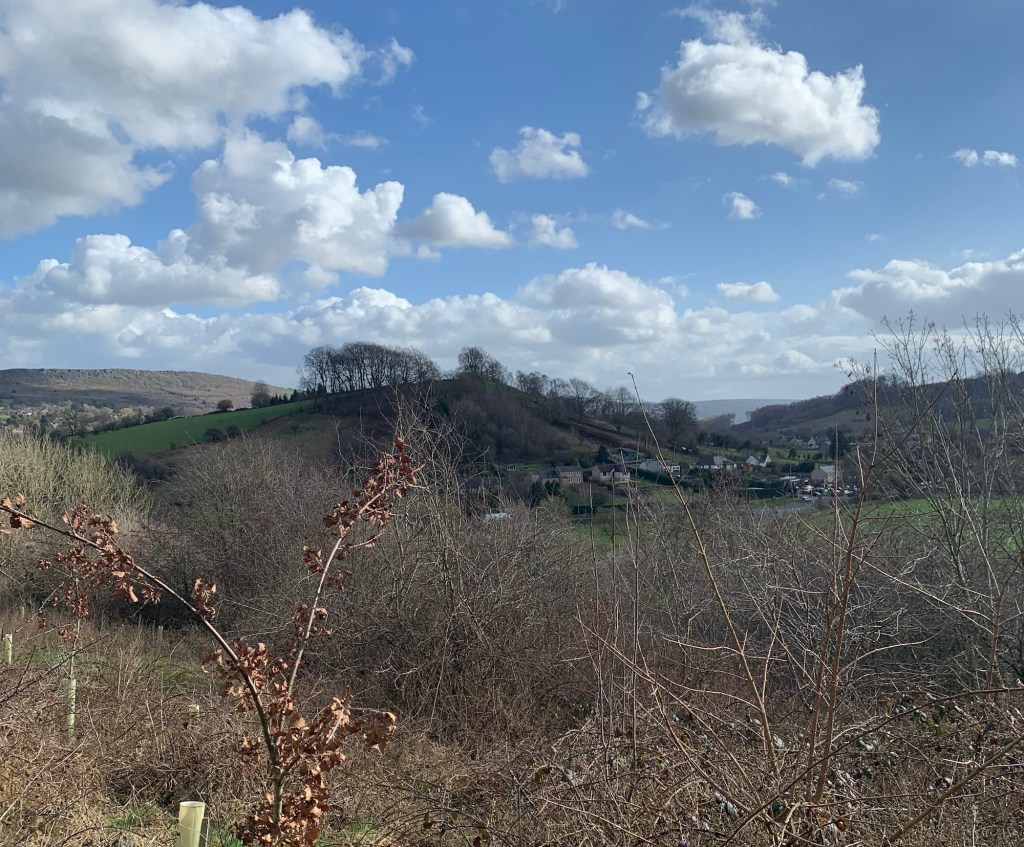
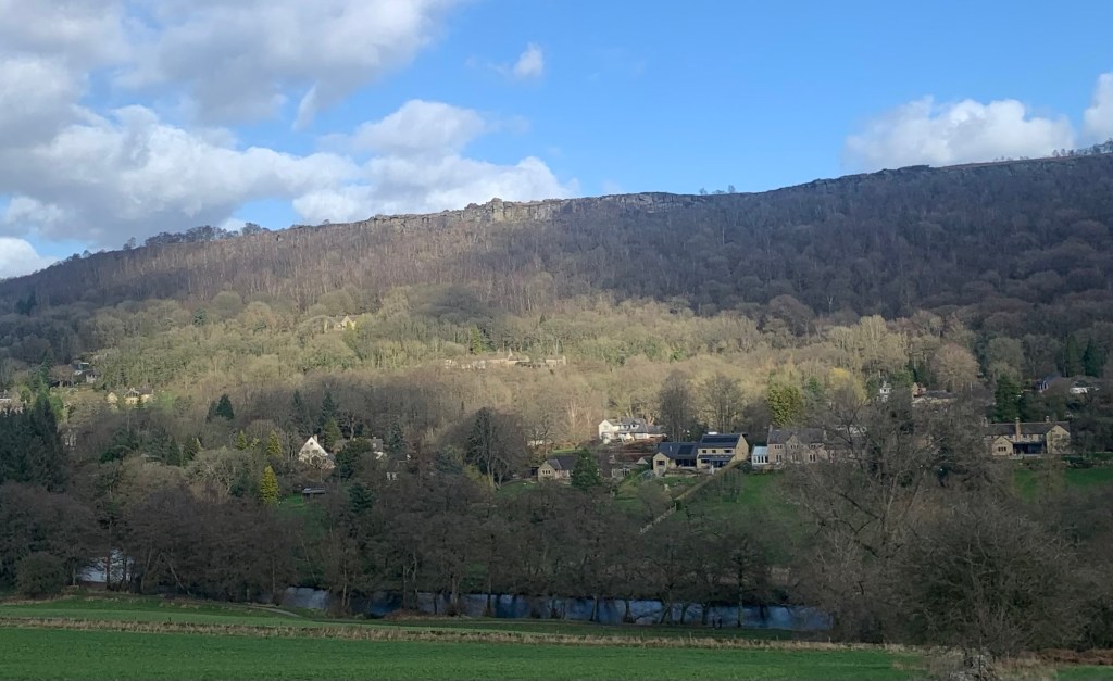
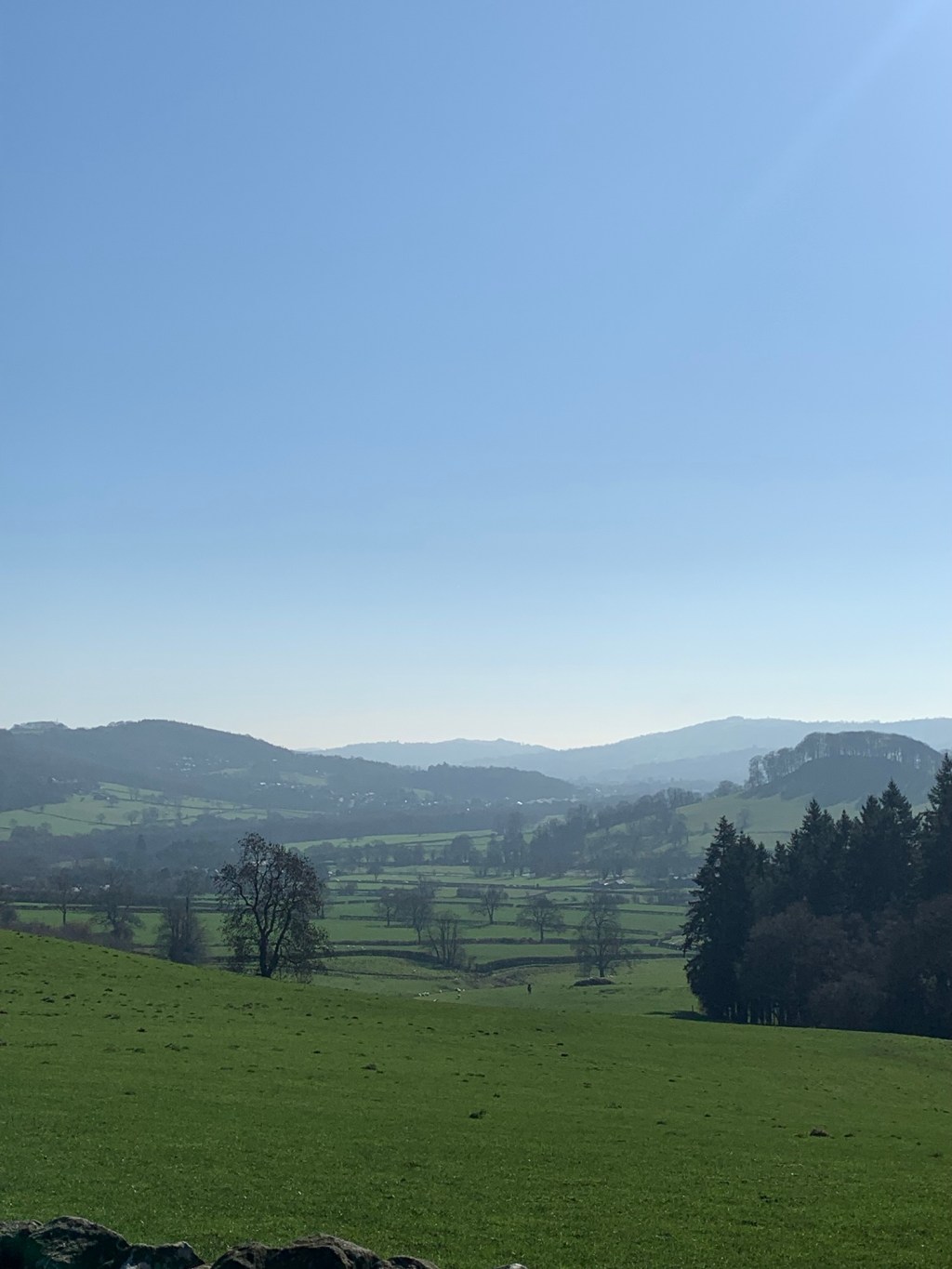
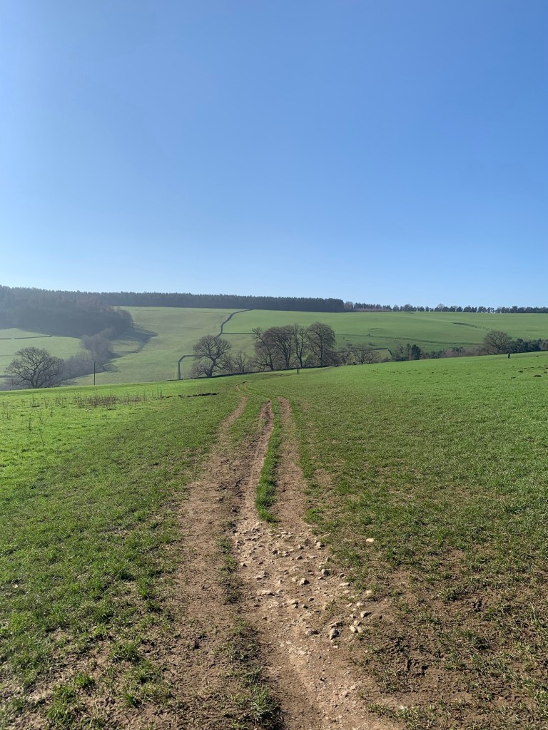
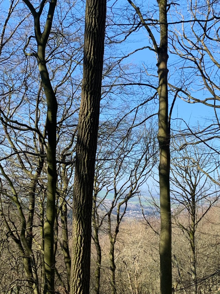
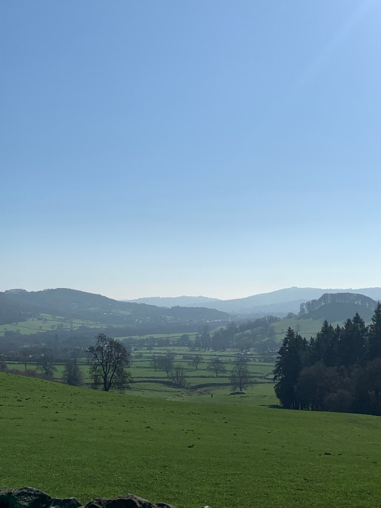
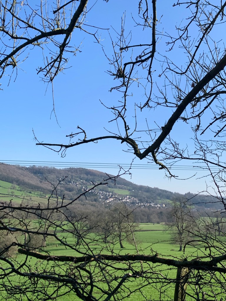
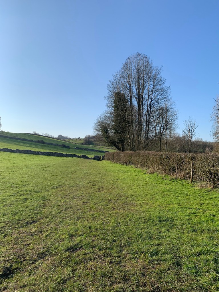
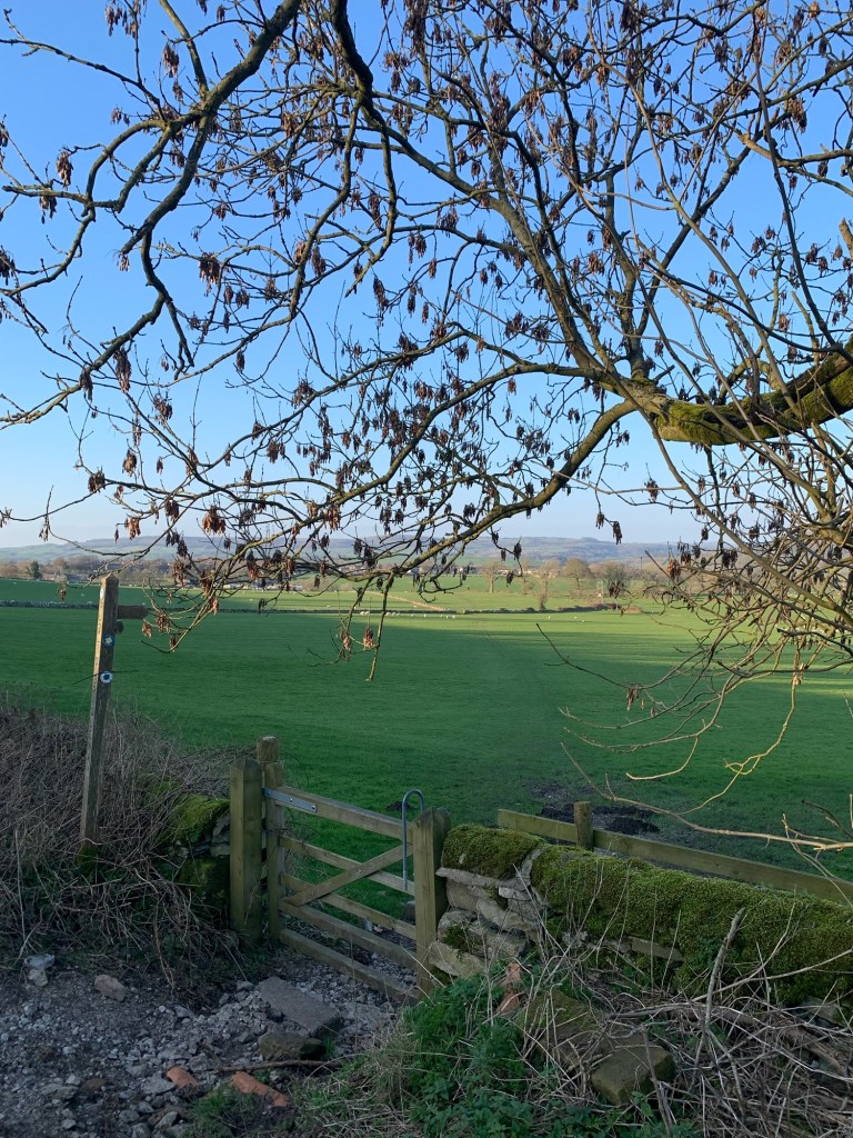
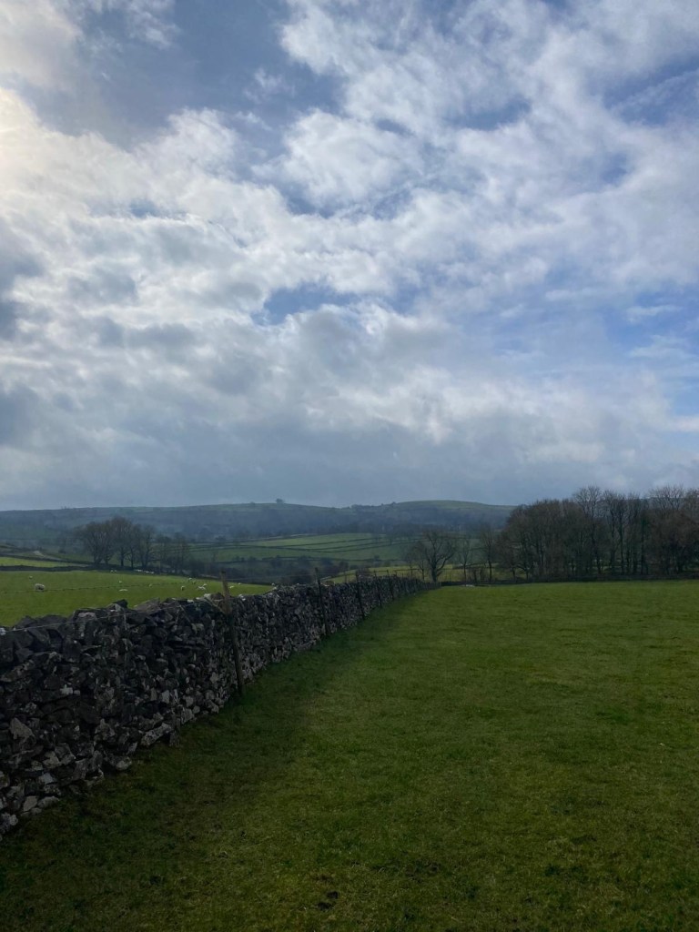
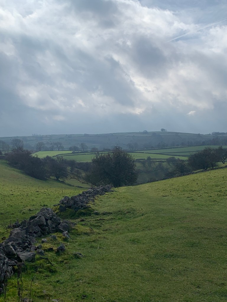
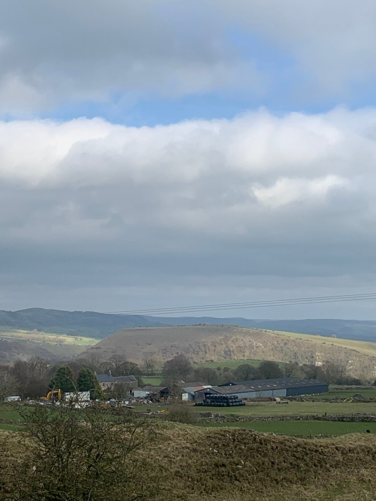
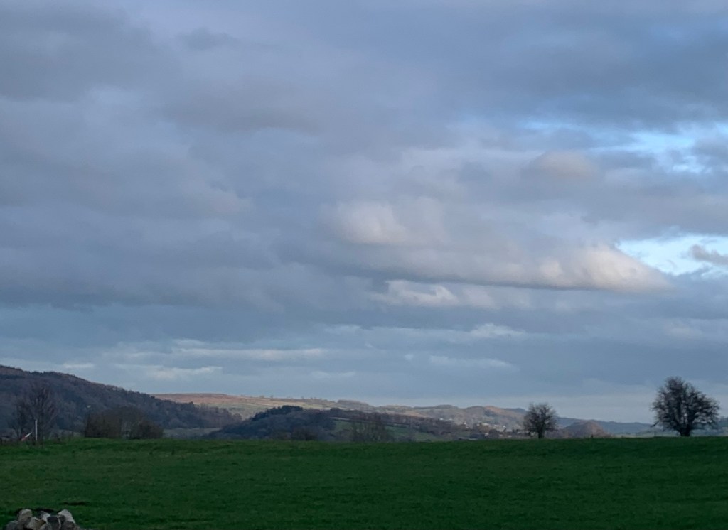
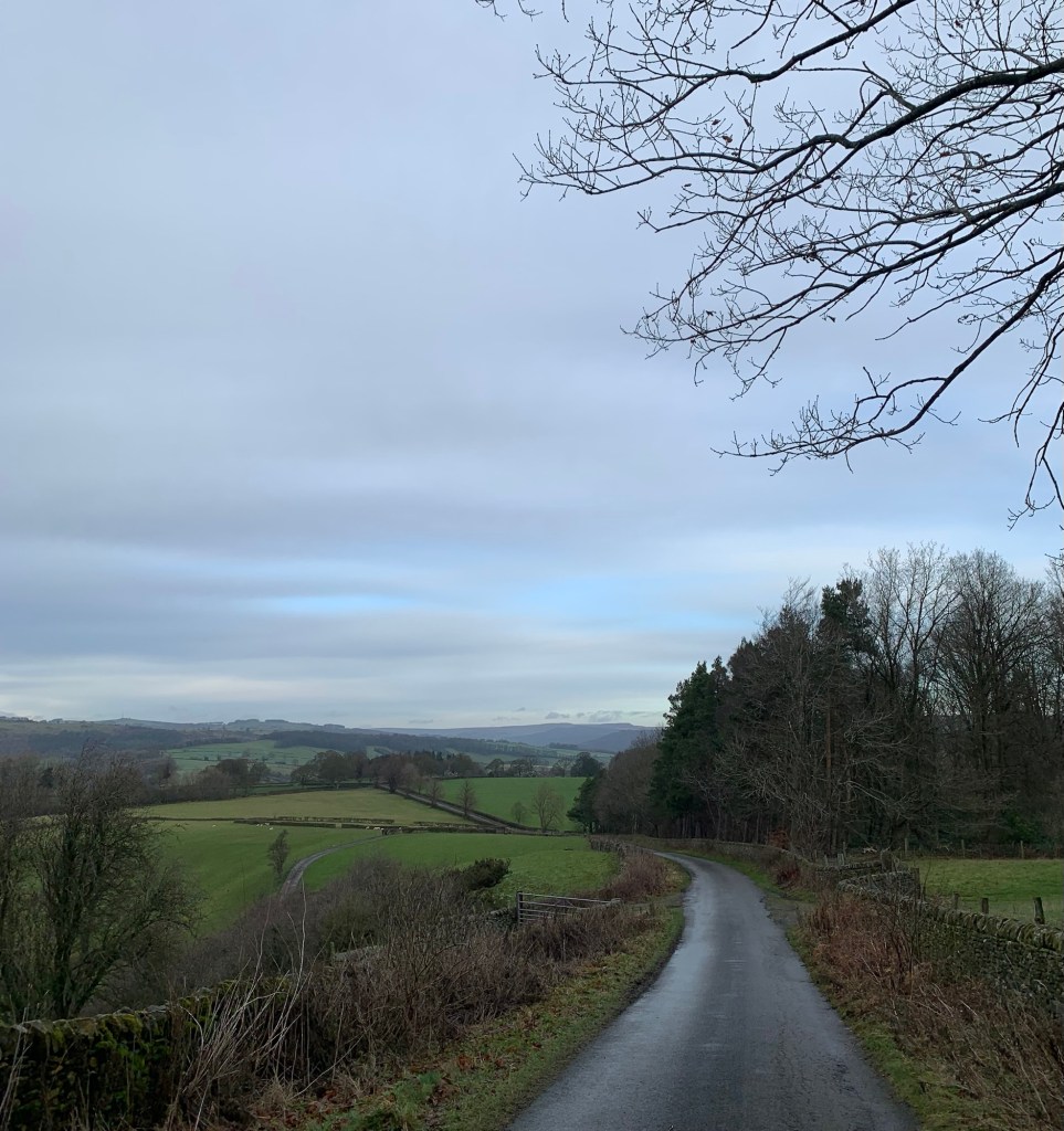
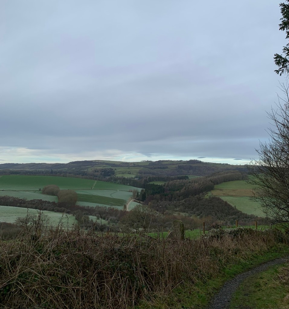
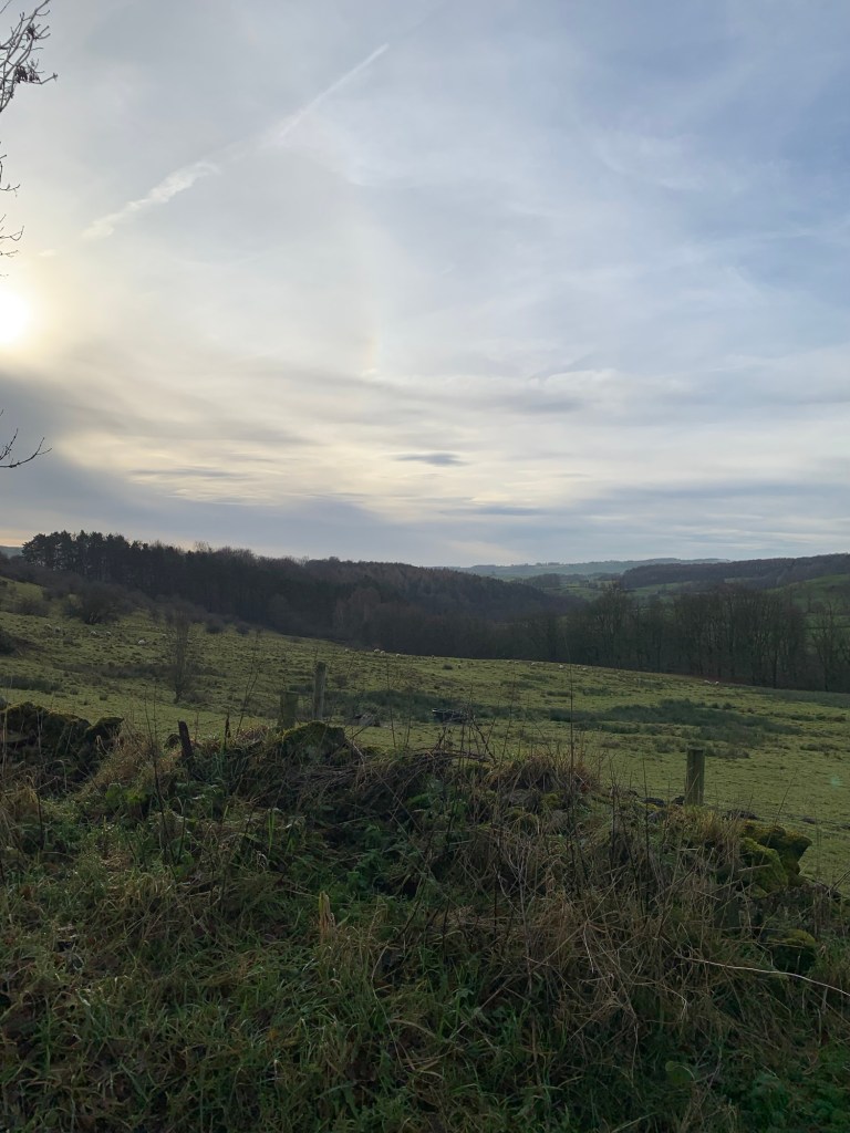
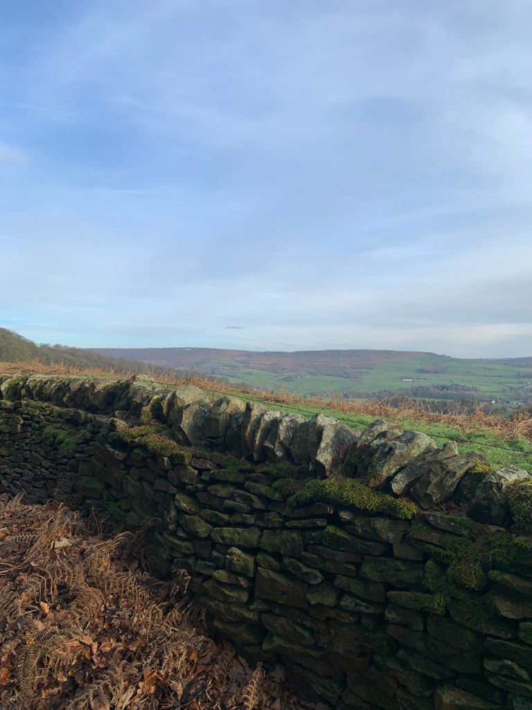
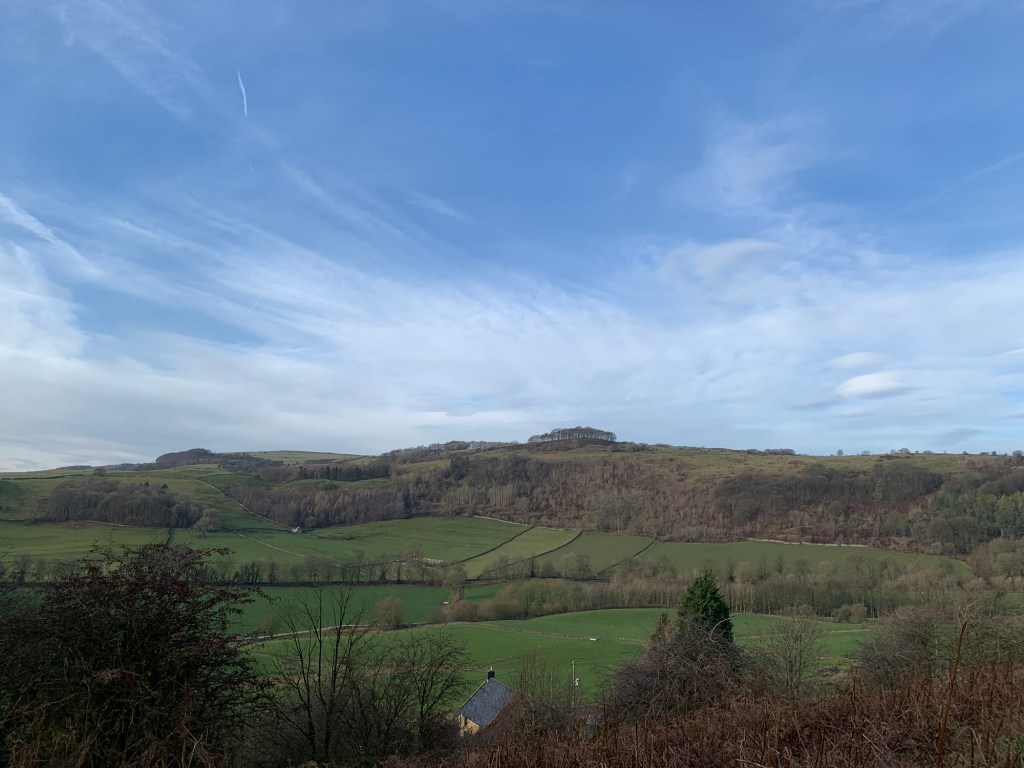
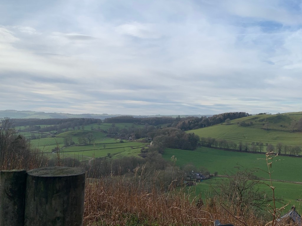
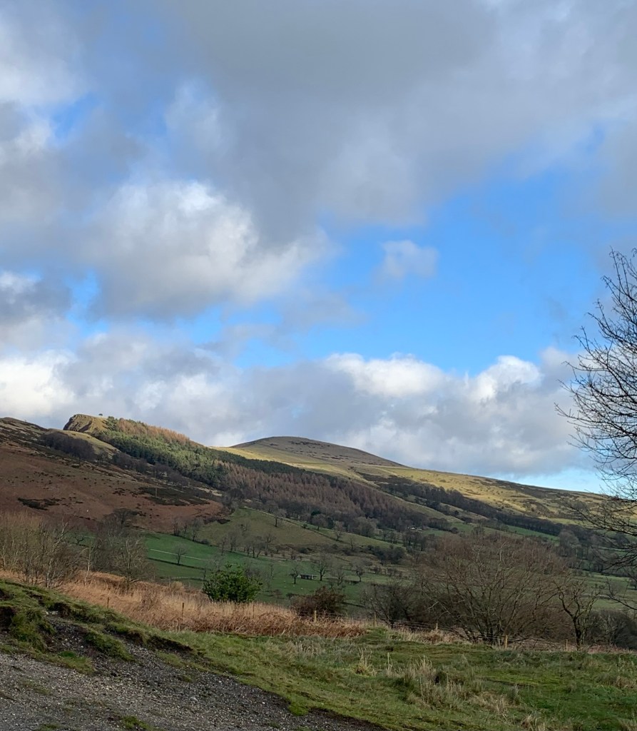
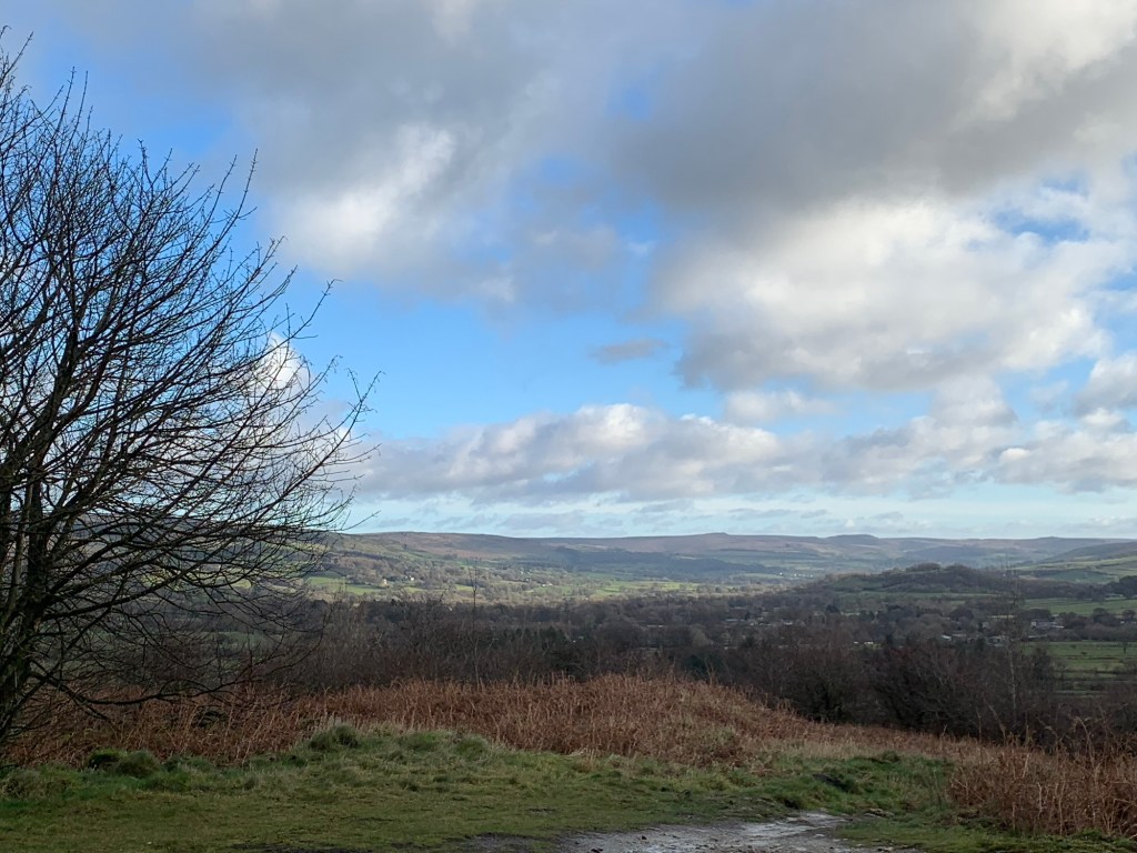
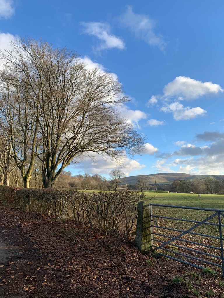
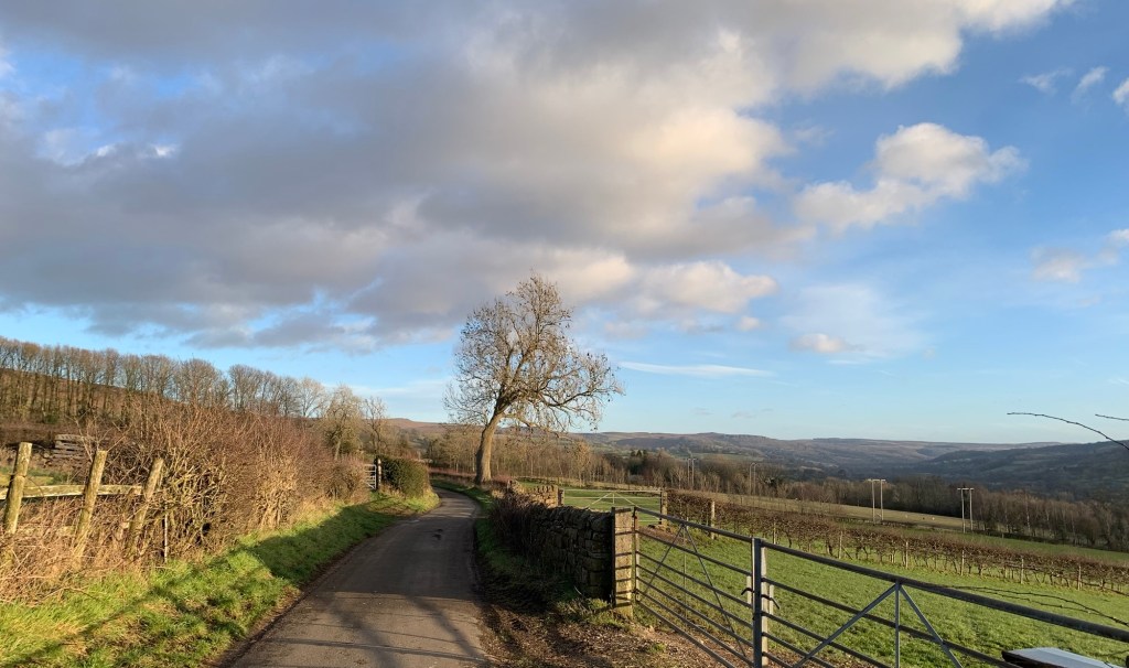
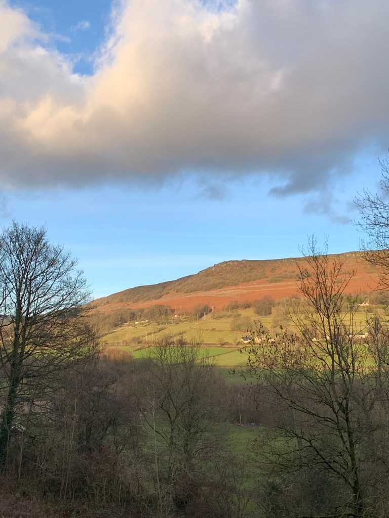
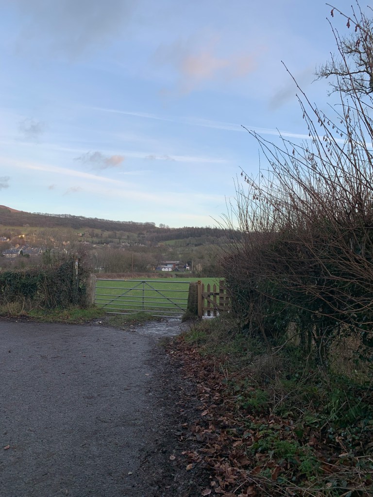
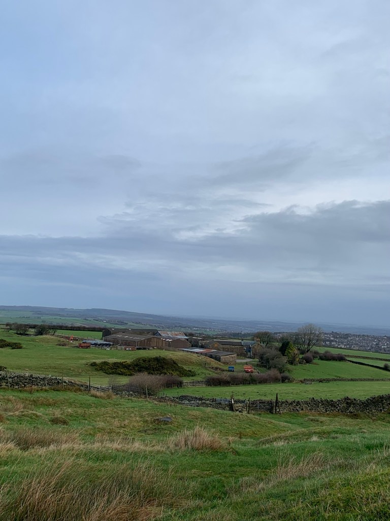
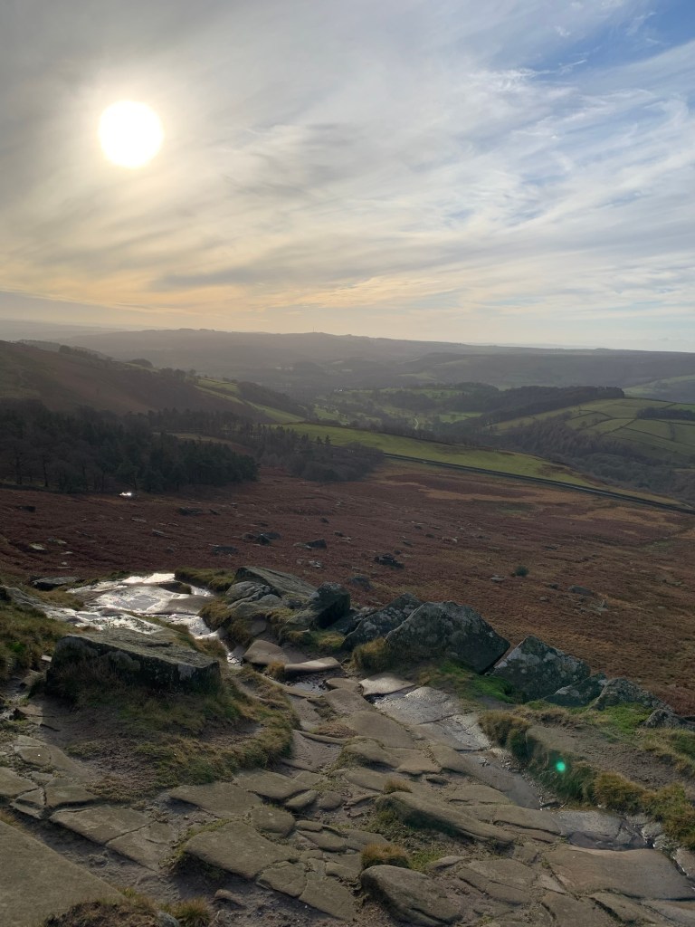
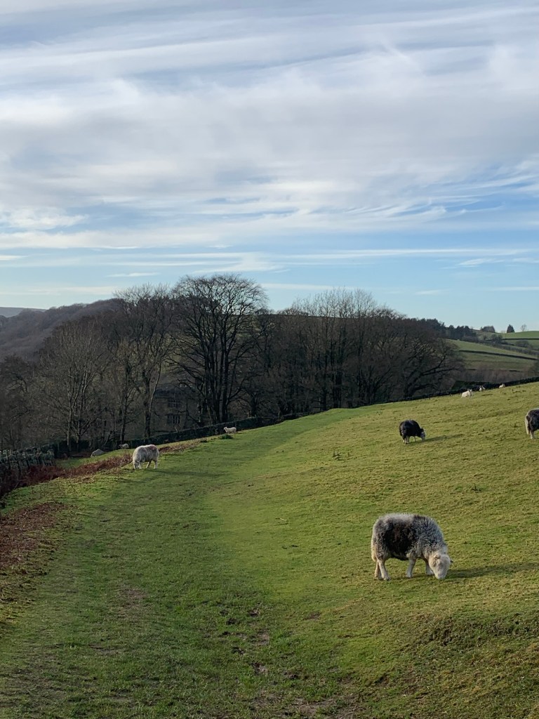
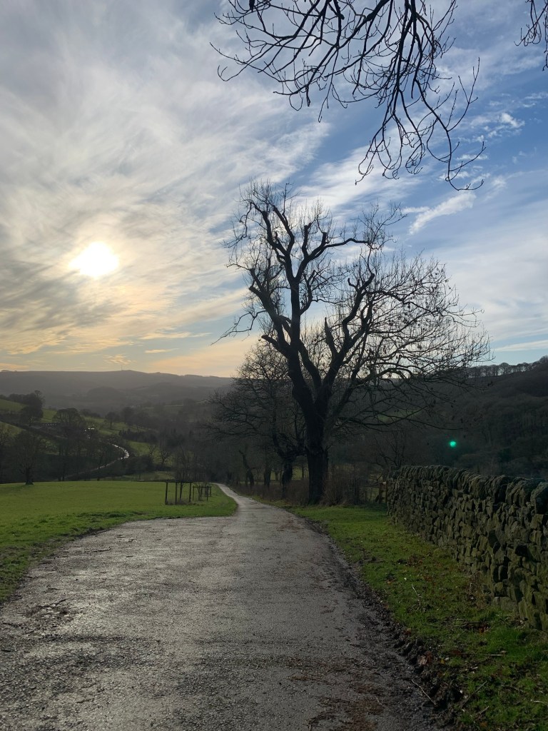
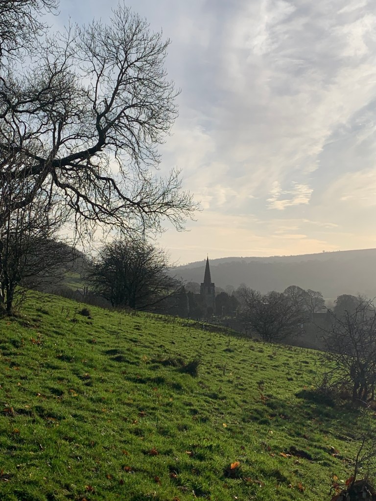
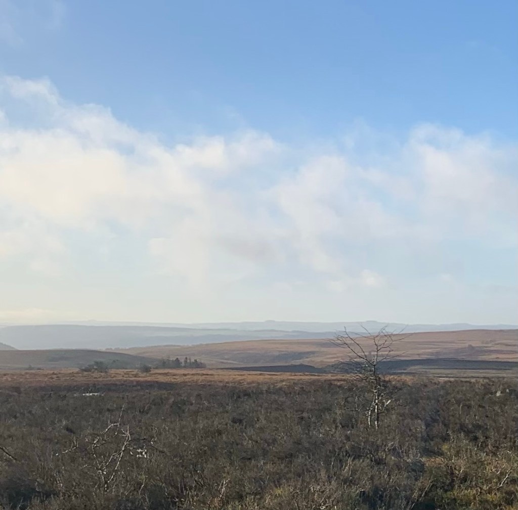
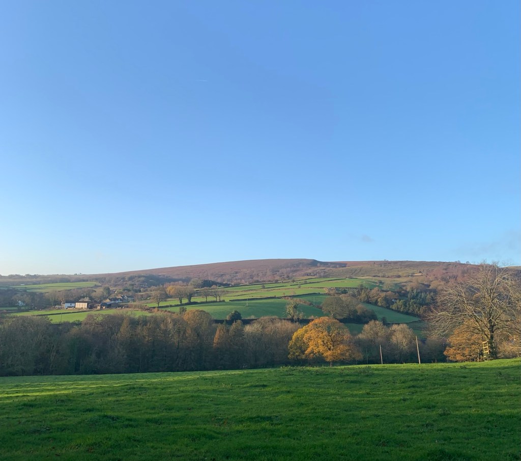
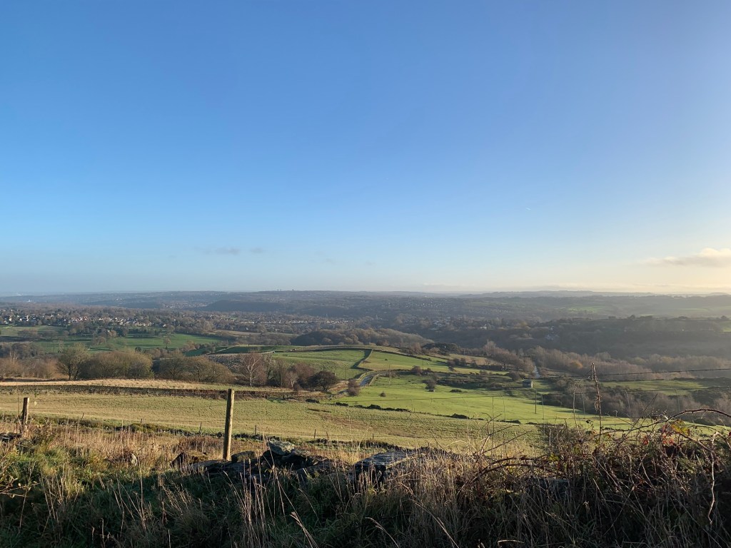
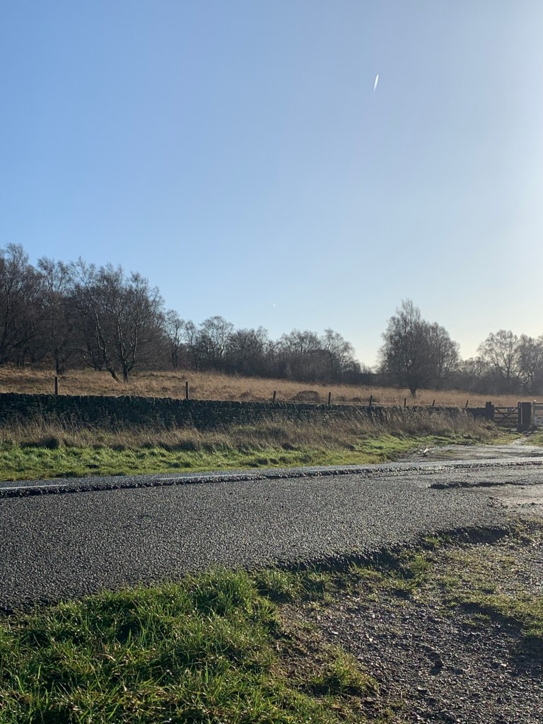
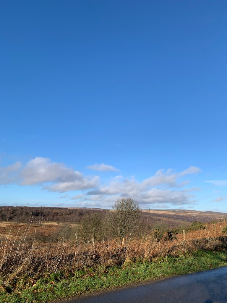
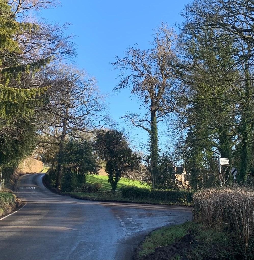
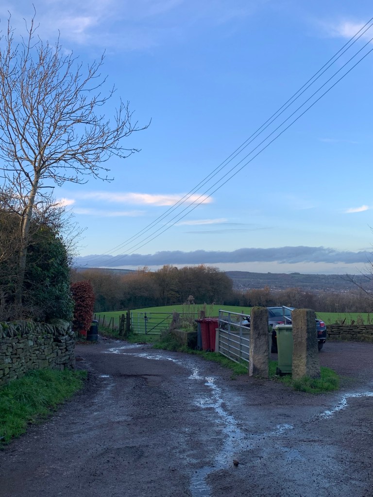
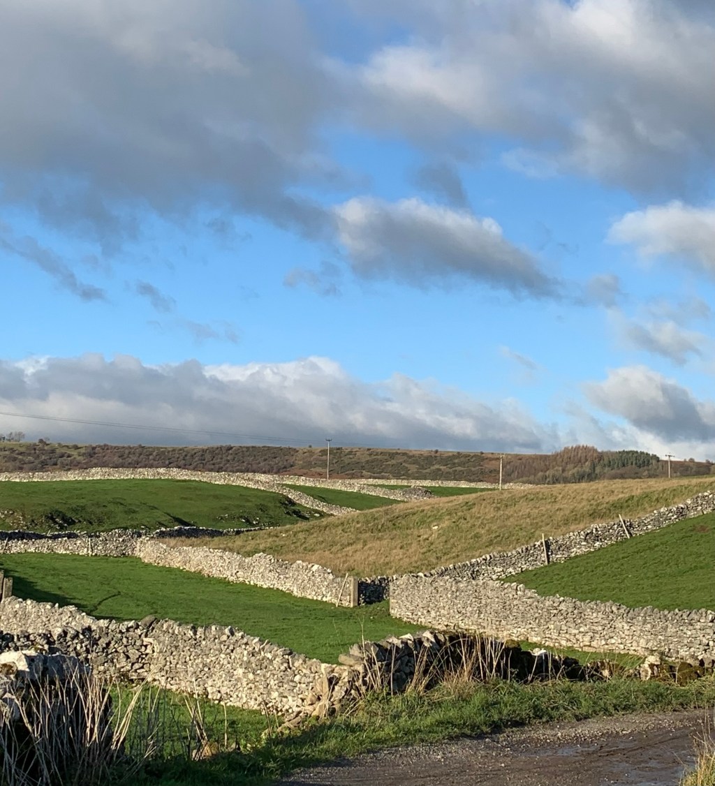
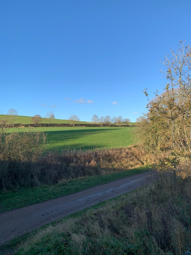
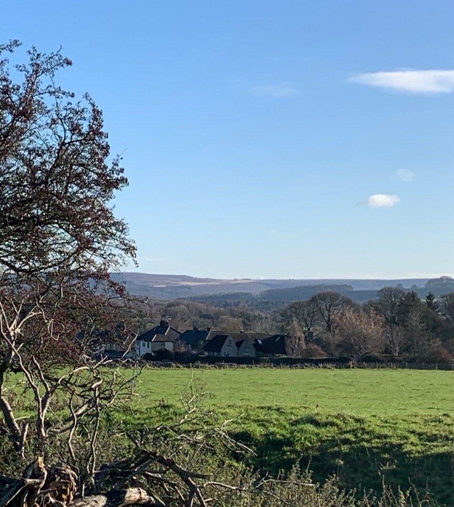
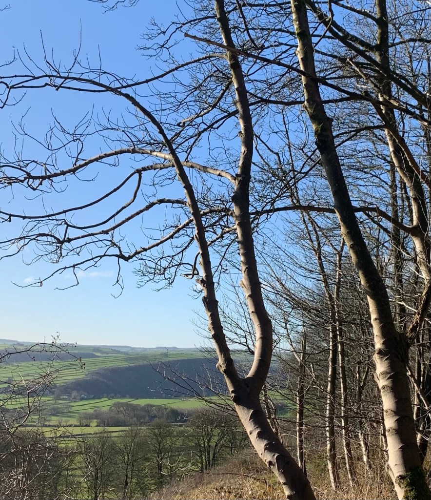
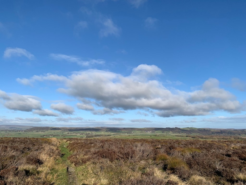
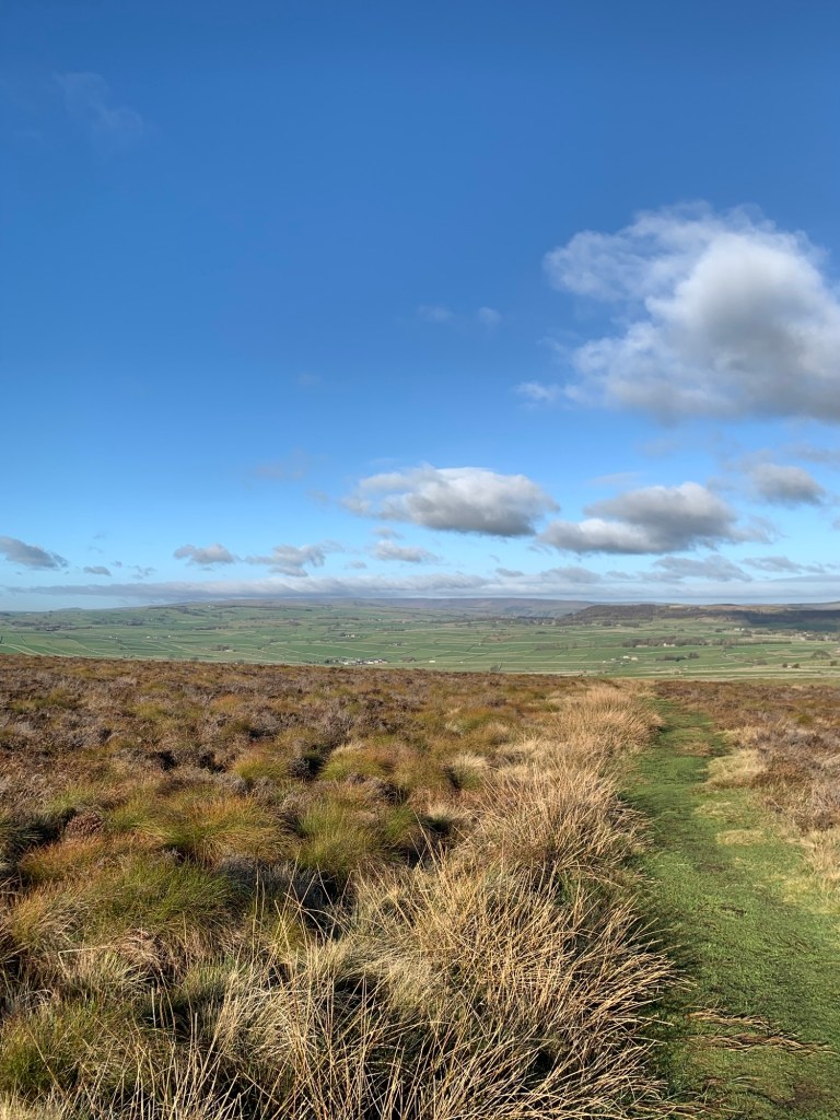
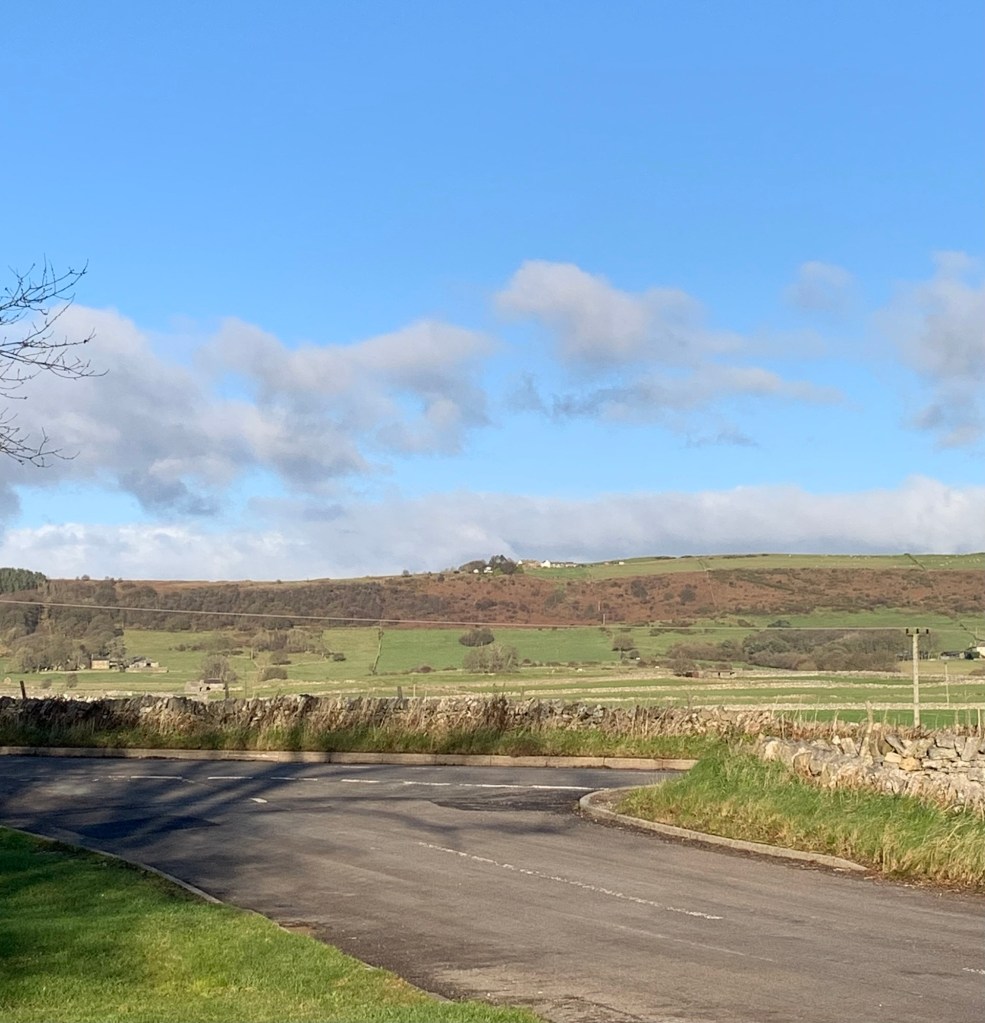
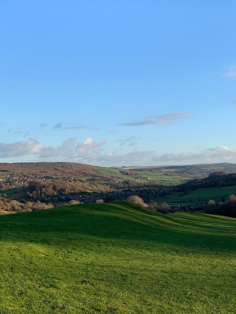
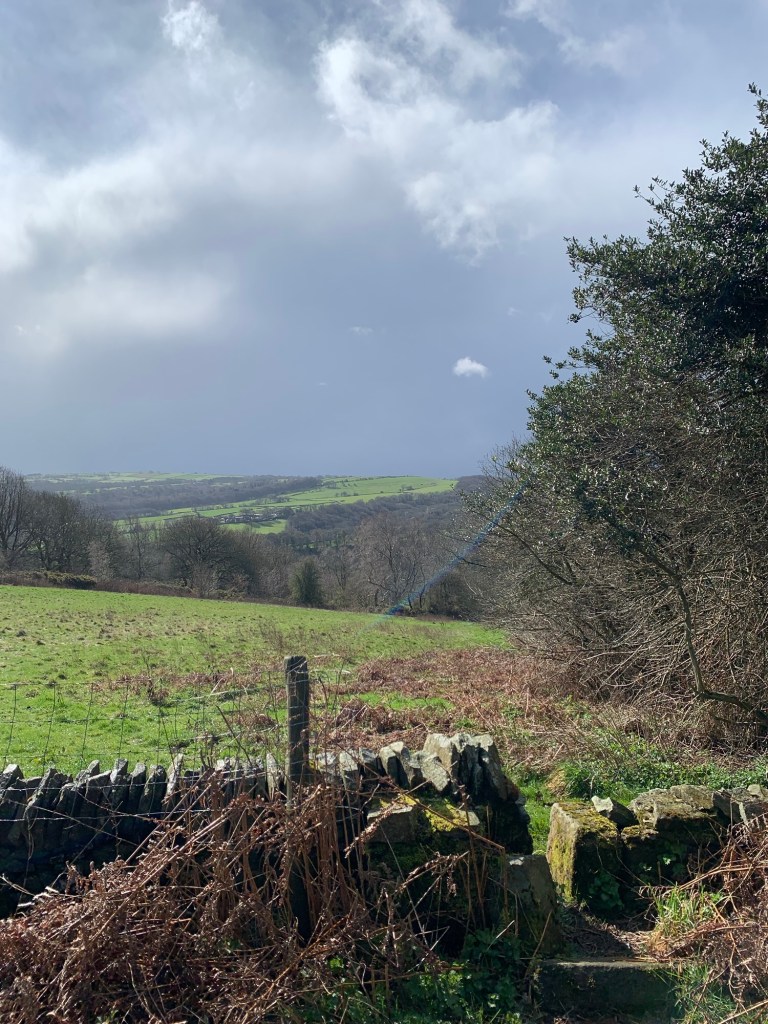
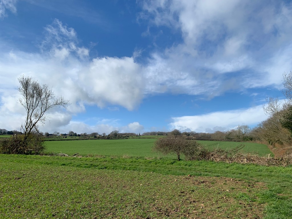
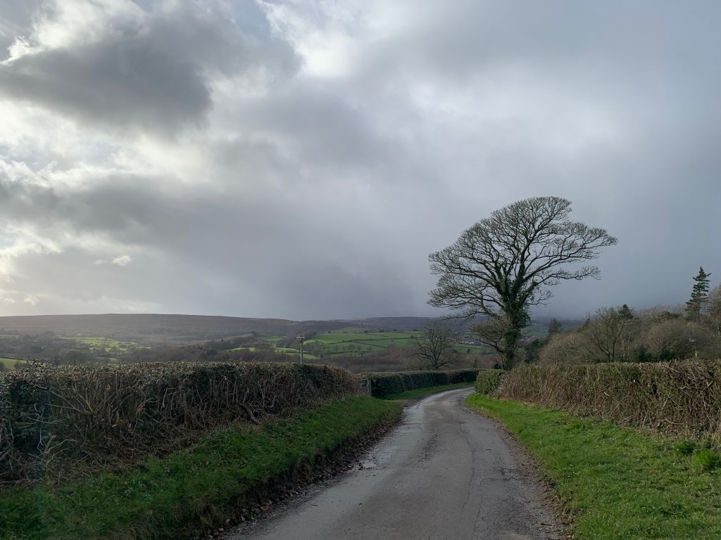
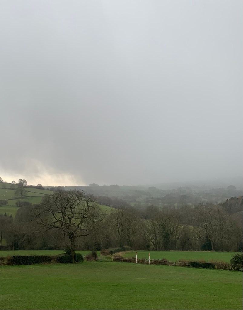
and despite the still mainly inclement weather we now get occasional views across towards Unthank and the hills of North East Derbyshire.
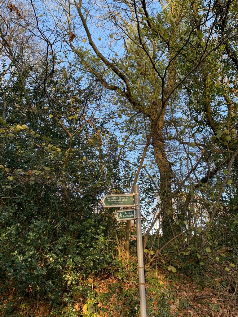
This path brings us onto Horsley Gate ( lane) at which point we turn briefly left and then right down our next path.
There’s not just one but apparently two Horsleygate Halls along here but we manage to miss them both today ( we’re blaming the weather) and our downhill path soon brings us out with another road to dash across and another footpath directly opposite.
It’s beautiful along here in the summer but a bit soggy underfoot today and most of our concentration goes on trying to stay upright.
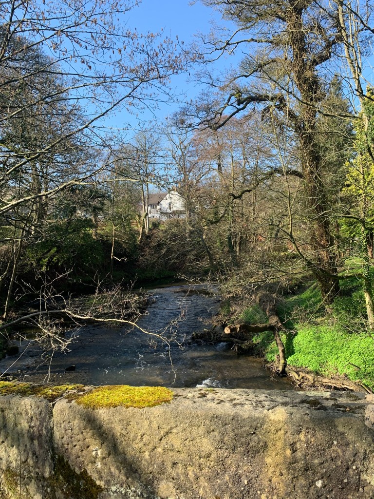
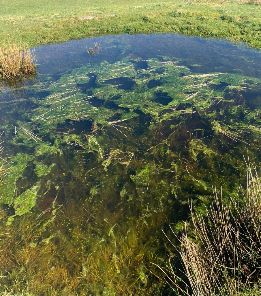
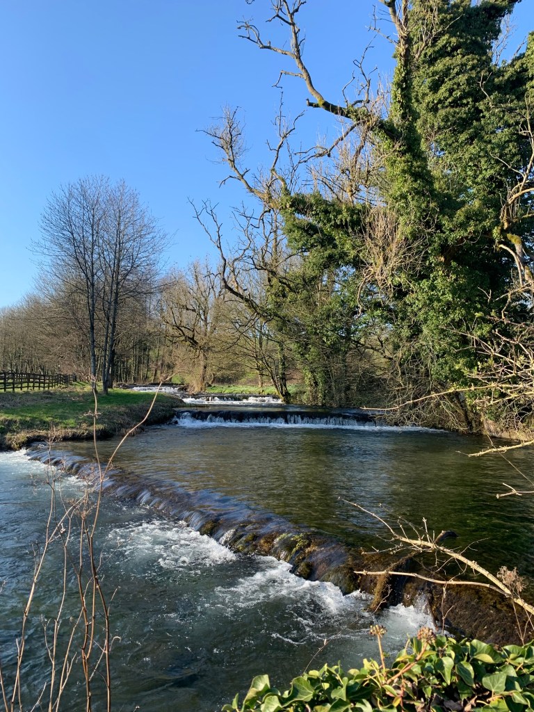
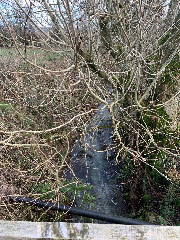
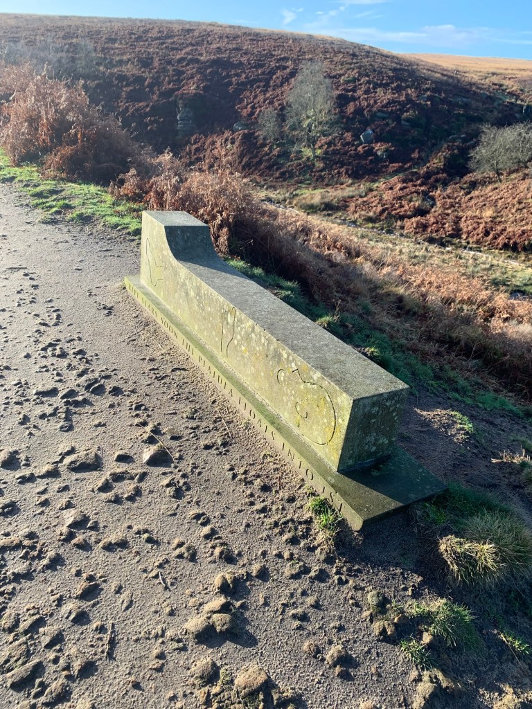
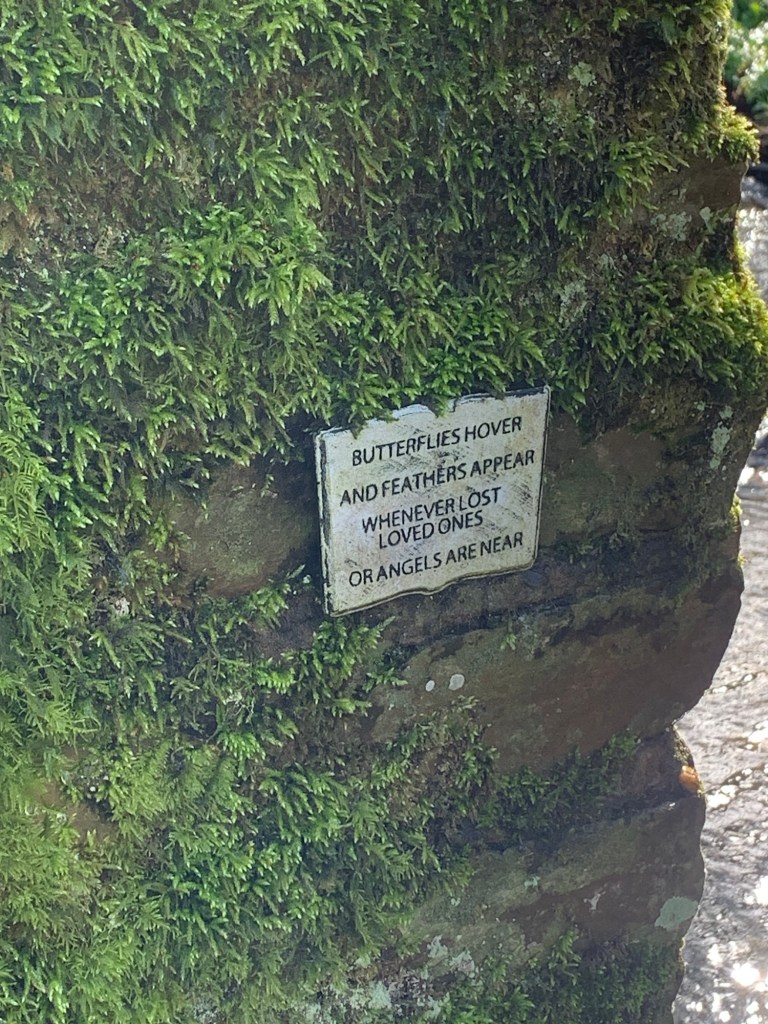
In spite of the weather the Millthorpe Brook still looks beautiful today and just as we’re about to cross the footbridge we notice a poignant little poem set into the wall.
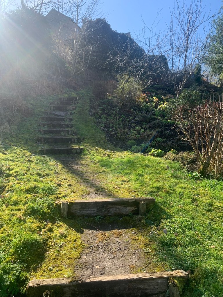
Almost as soon as we’re over the brook all poetic thoughts rapidly make an exit as we are faced with an almost vertical slope of mud which we clamber up in ungainly manner hoping that no hidden video cameras are filming!
It’s very much like a mud version of a cross trainer and seems unending but eventually we slither out onto the welcome tarmac of Fox Lane and both make a mental note never to try this route in the opposite direction as descending would have been even worse.
We turn left along Fox Lane and shortly afterwards we make what turns out to be a mistake in trying to follow a footpath on the right, over to Unthank.
We waste a lot of time trying to find our way and struggle through a lot more mud for very scant rewards. I have not marked this path on the route map ( see link at the end of the post) as I don’t really recommend it in any weather.
With the benefit of hindsight it would be much easier and pleasanter to continue along Fox Lane and then turn back along Unthank Lane at the junction in the valley bottom, ( so this is the route I have shown on the map.)
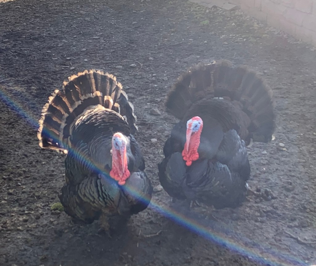
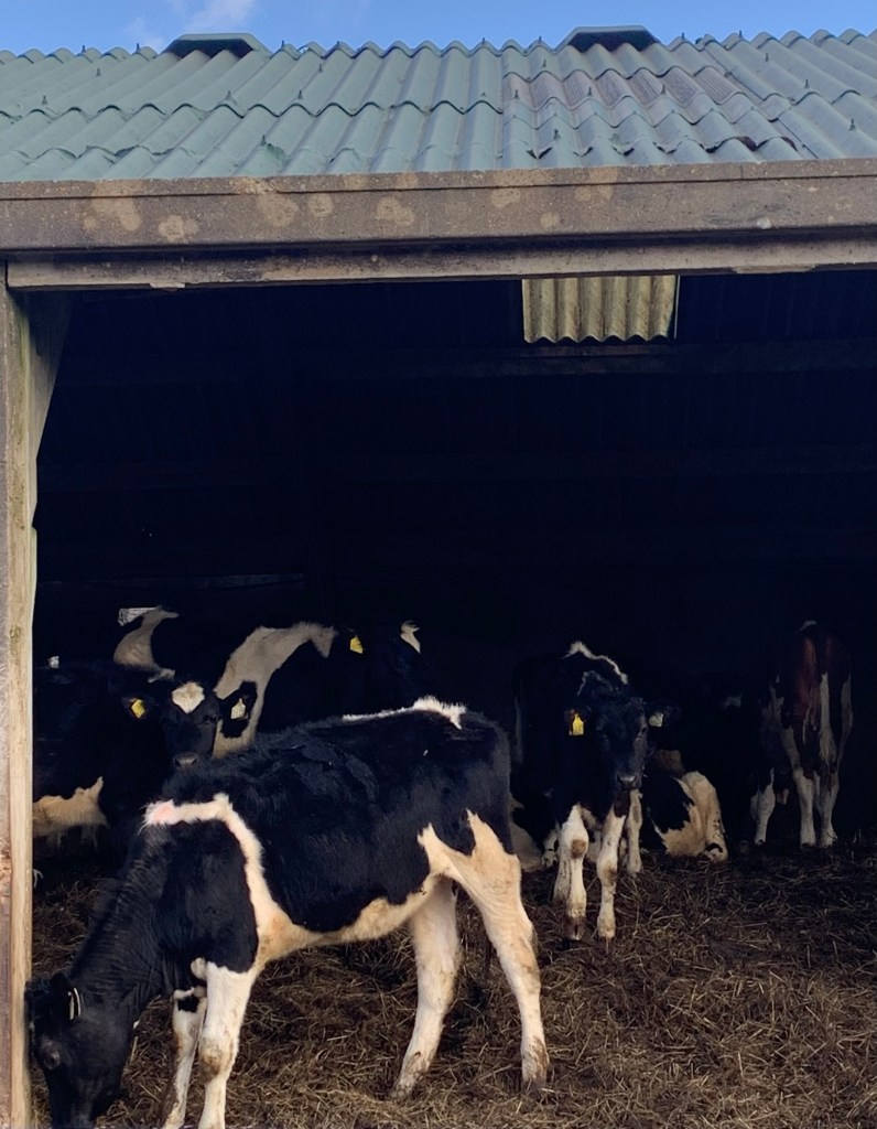
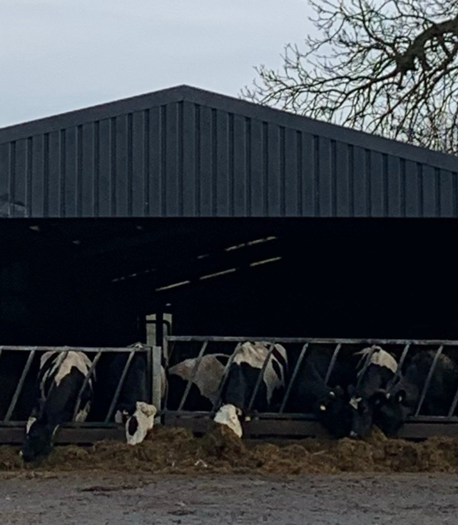
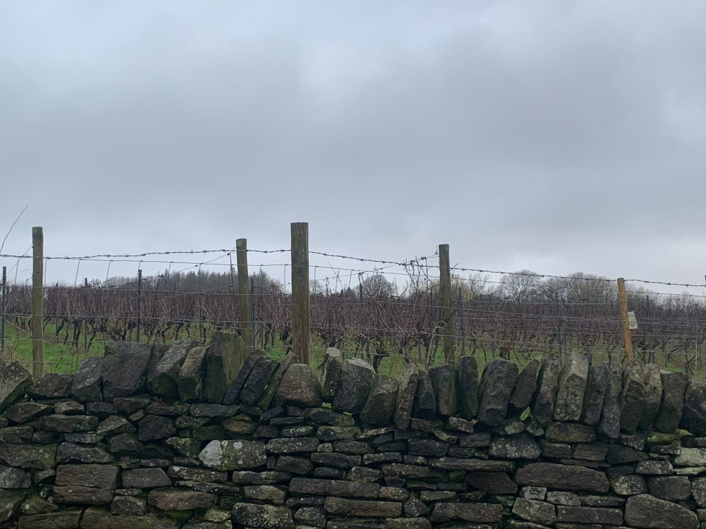
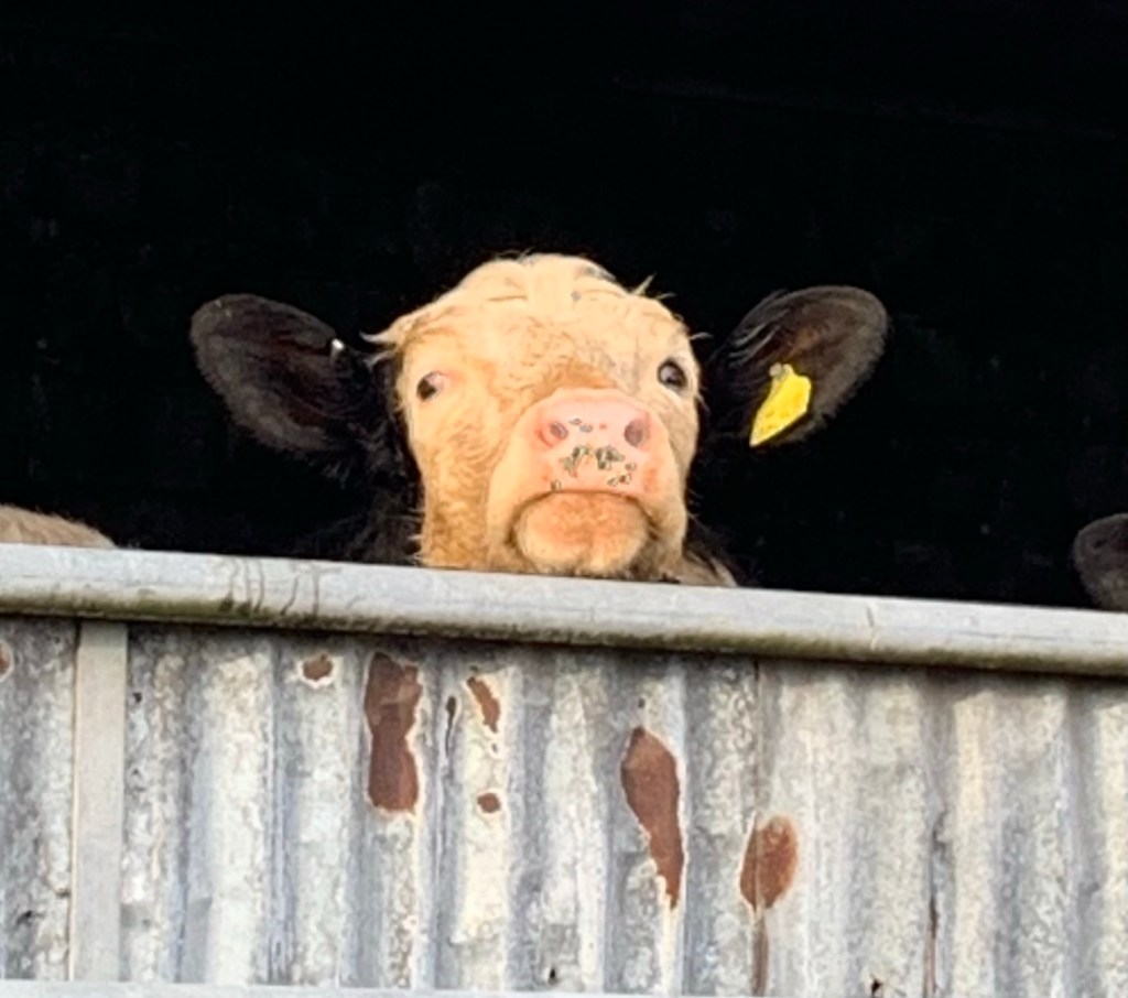
Last time we visited Unthank, before we were bloggers, we were carried away by seeing a field full of pigs enjoying life in the open air. Disappointingly today, probably due to the weather, although the pigsties are there, there’s not a pig in sight.
https://www.unthank-meat.co.uk
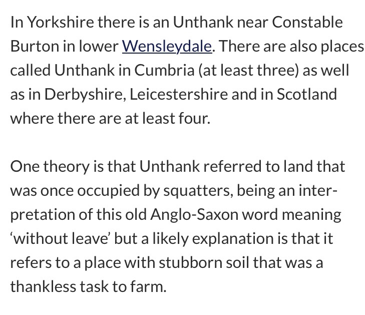
Aside from absent pigs, Unthank does not have a lot to offer apart from beginning with U although you have to admit it’s an interesting name.
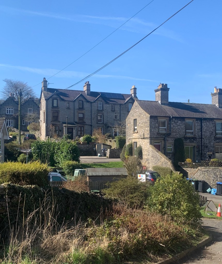
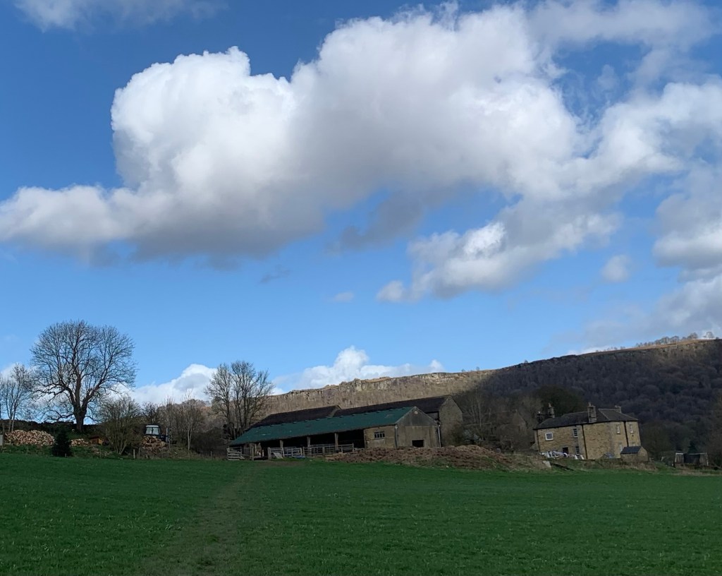
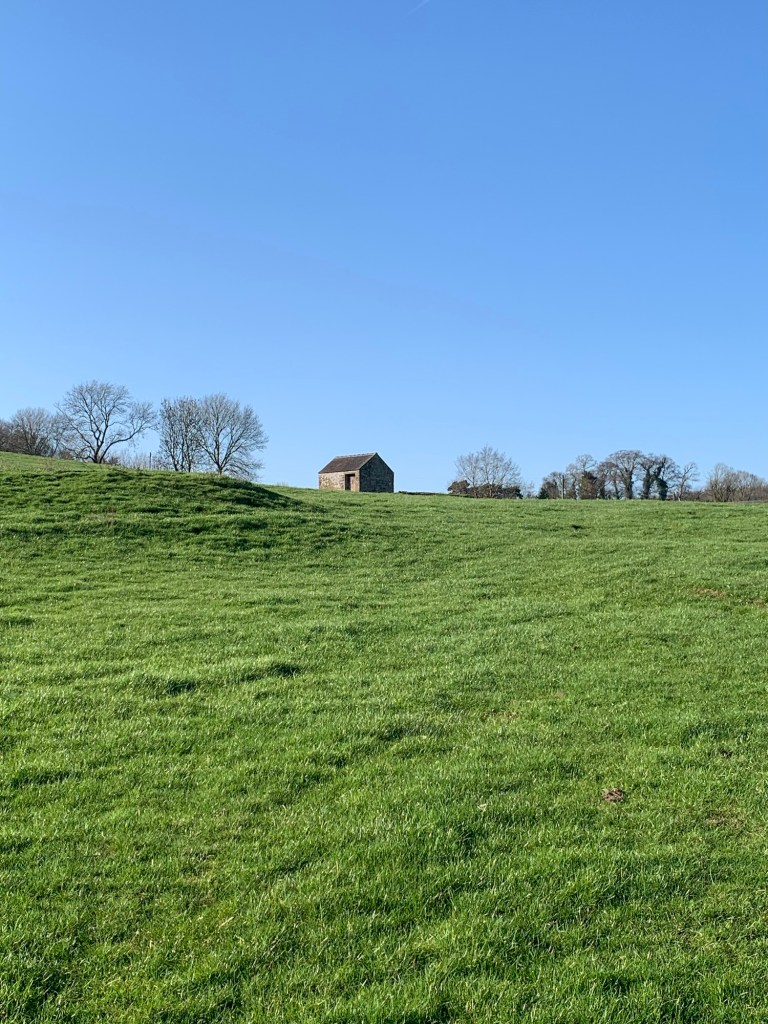
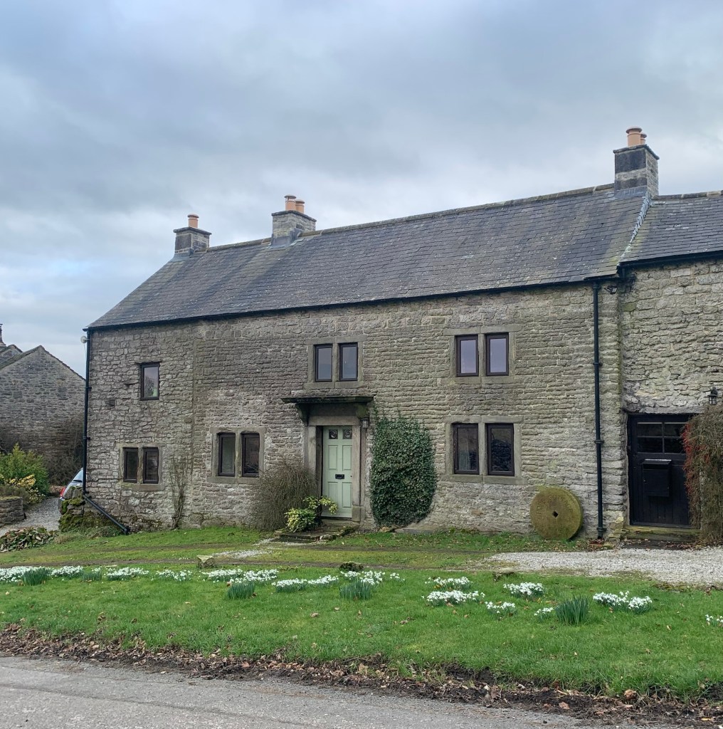
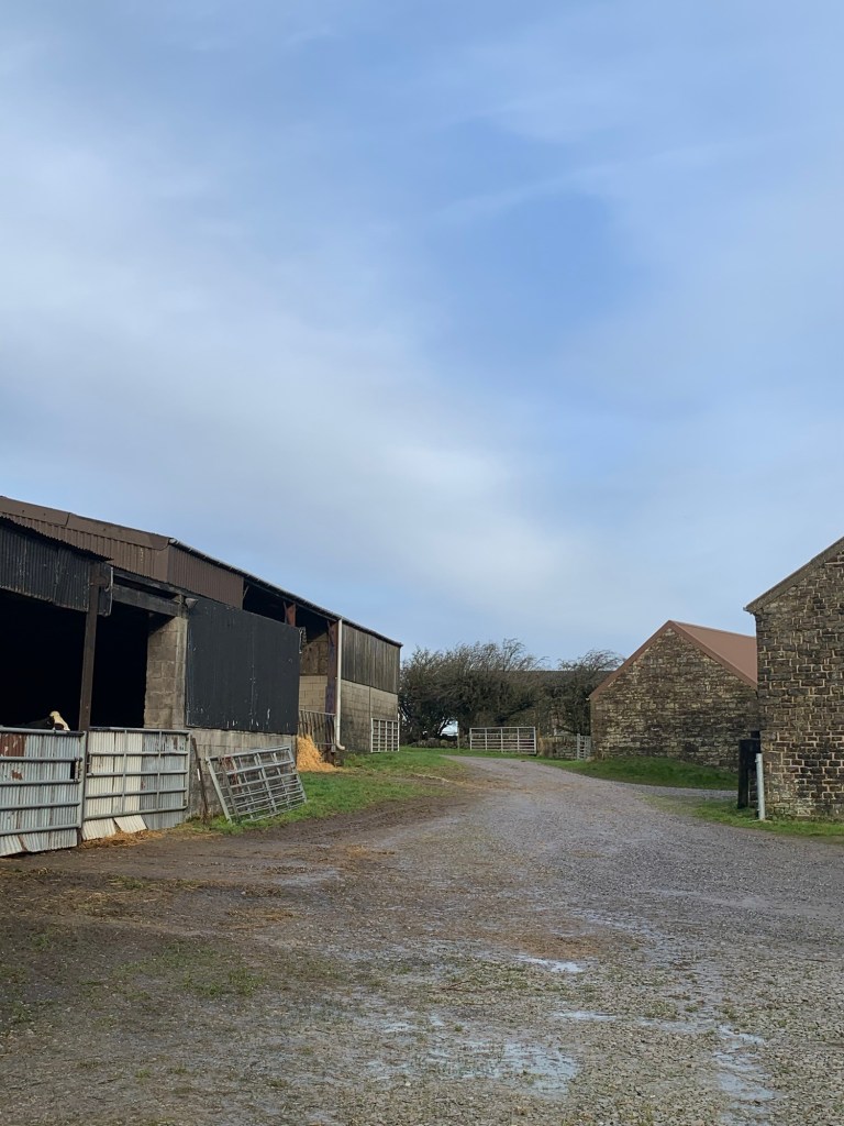
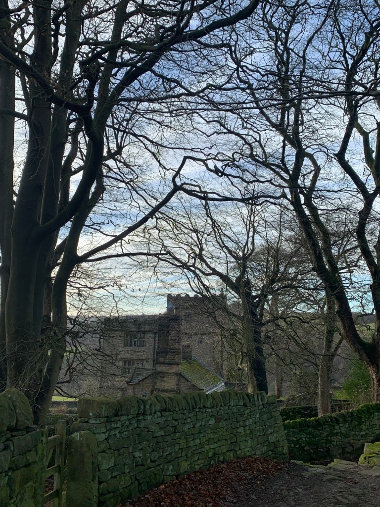
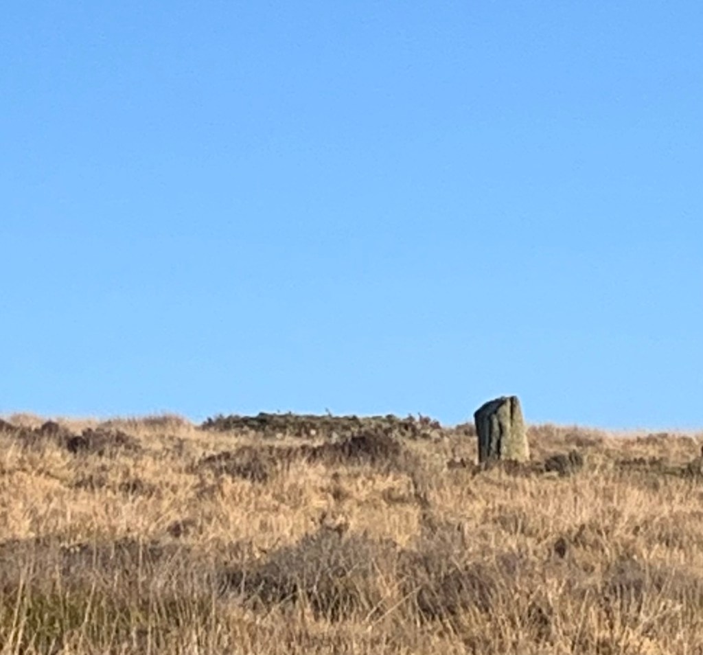
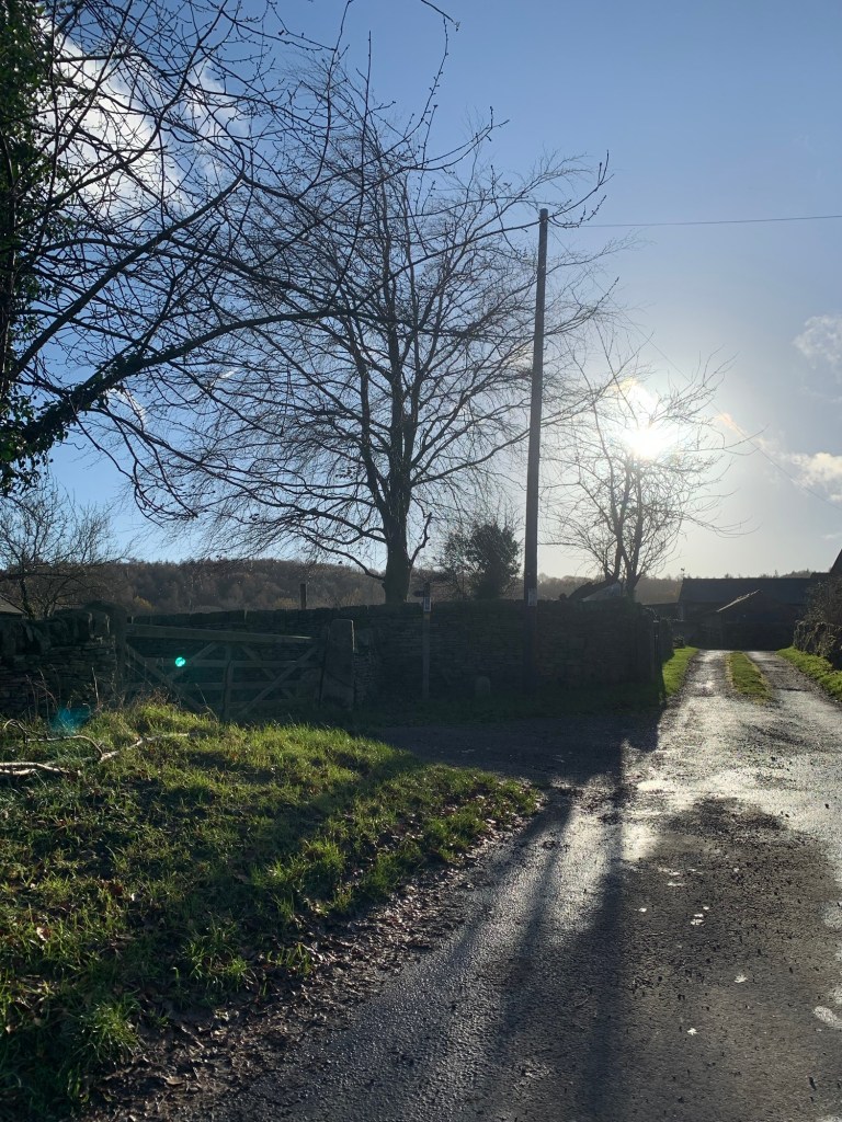
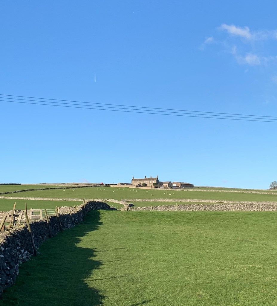
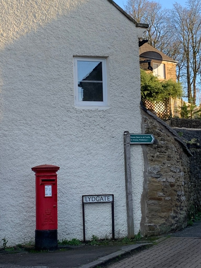
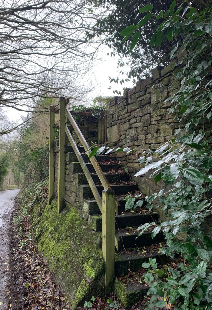
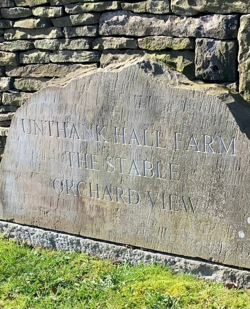
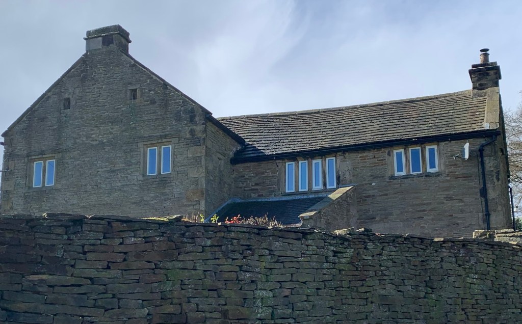
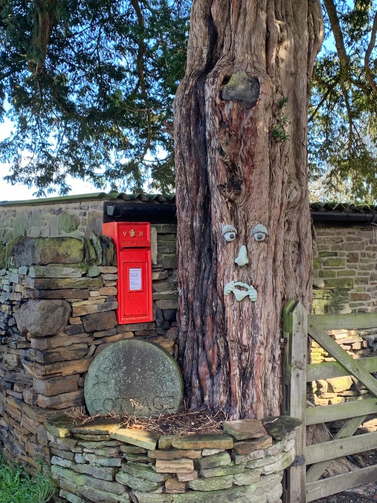
There is another 16th century hall; Unthank Hall, which is now the farmhouse for the aforementioned pigs
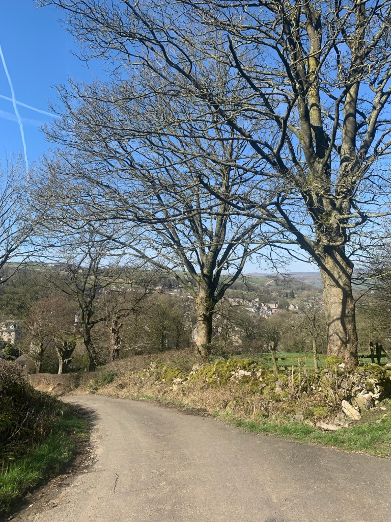
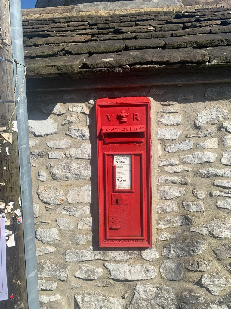
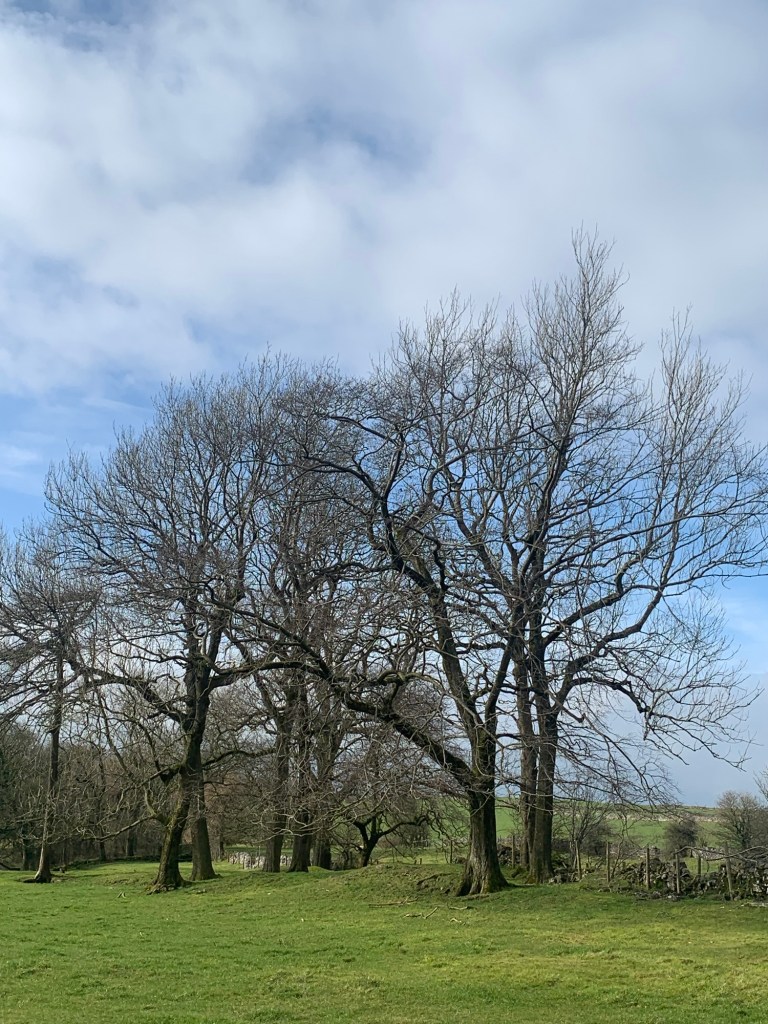
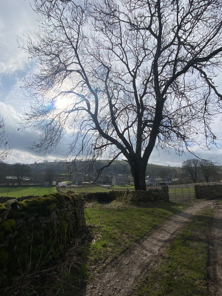
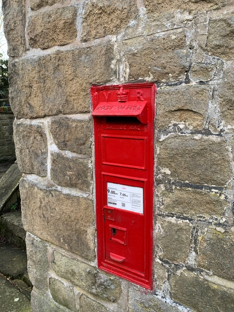
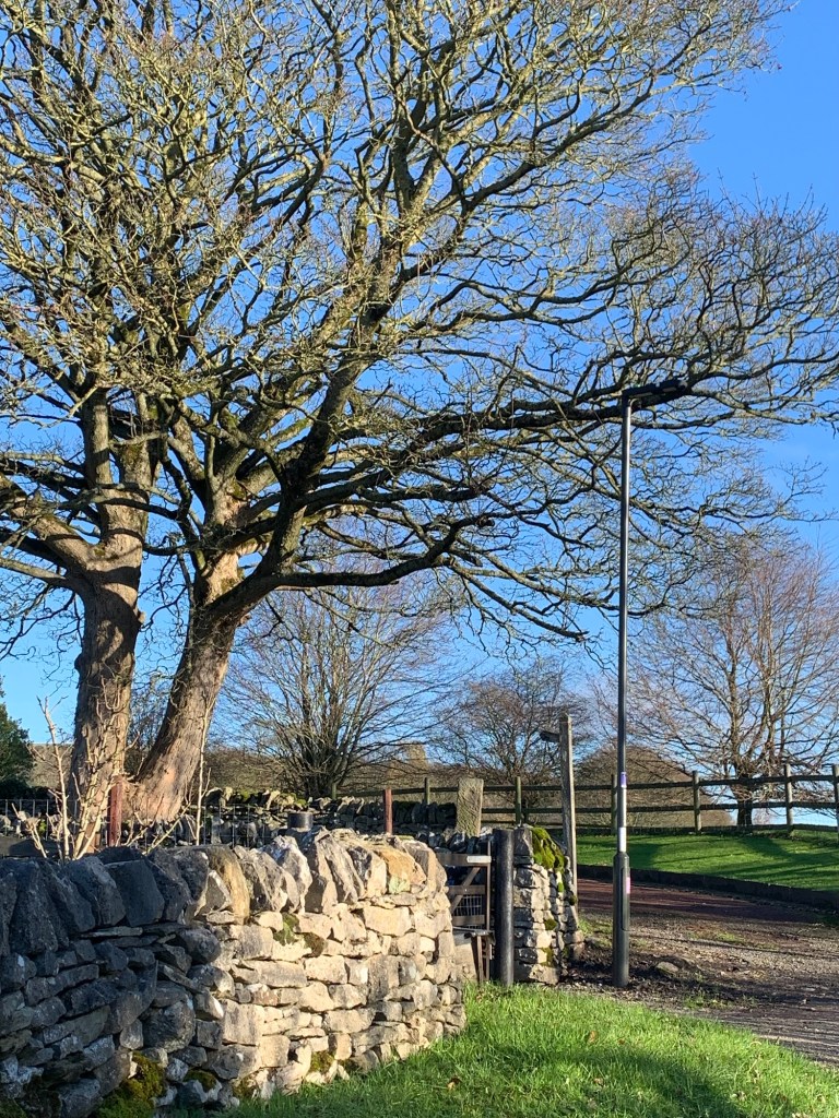
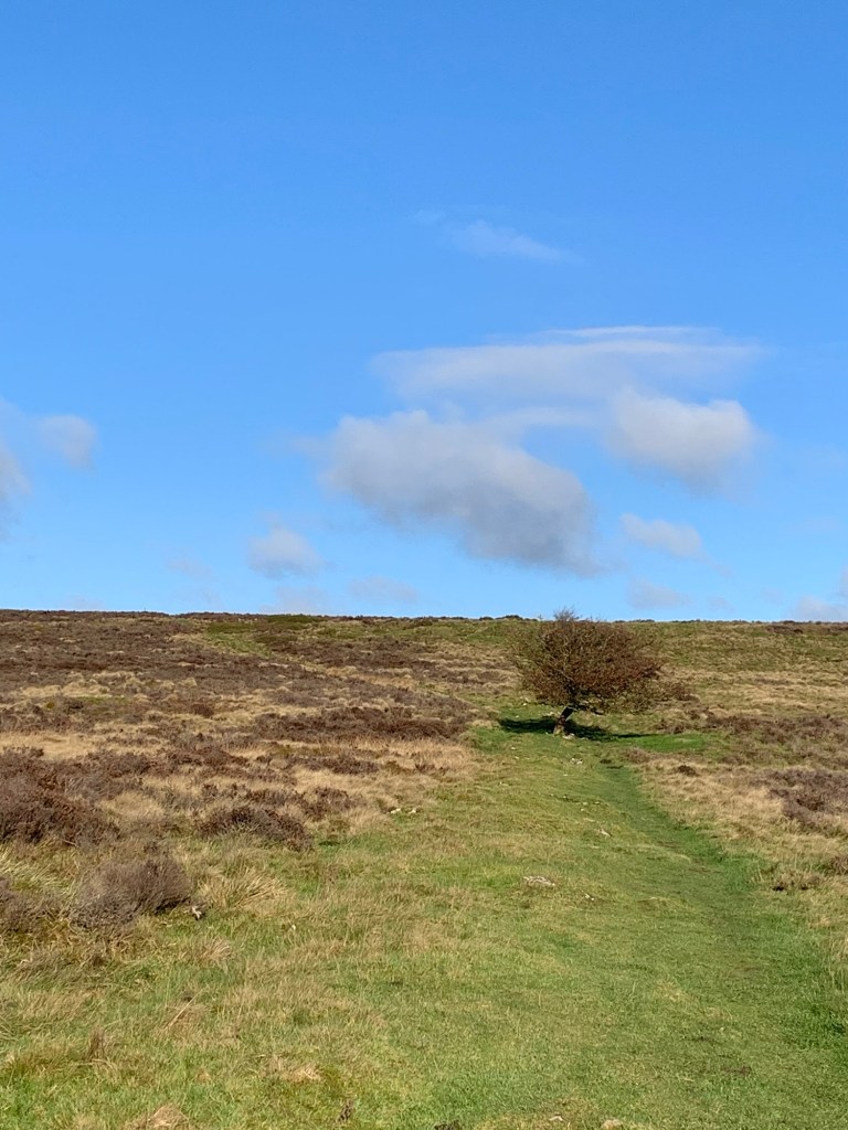
and, always worth a mention, there is a Victorian letter box. This one is right next to a tree that looks straight out of J R R Tolkien and strangely enough, that’s not the only Tolkienesque tree we’ll be passing today. But more of that later.
That’s Unthank well and truly done and as
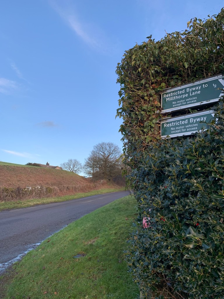
we are feeling a bit once bitten twice shy with mud and paths, we recalculate our route and now head along the same path towards Milthorpe that we followed not so long ago on our M for Millthorpe walk. This means we won’t be passing Barlow Woodseats Hall today after all but at least we know that our next path is straightforward.
As the Millthorpe path gives out onto the next lane we turn right ( continued below *)
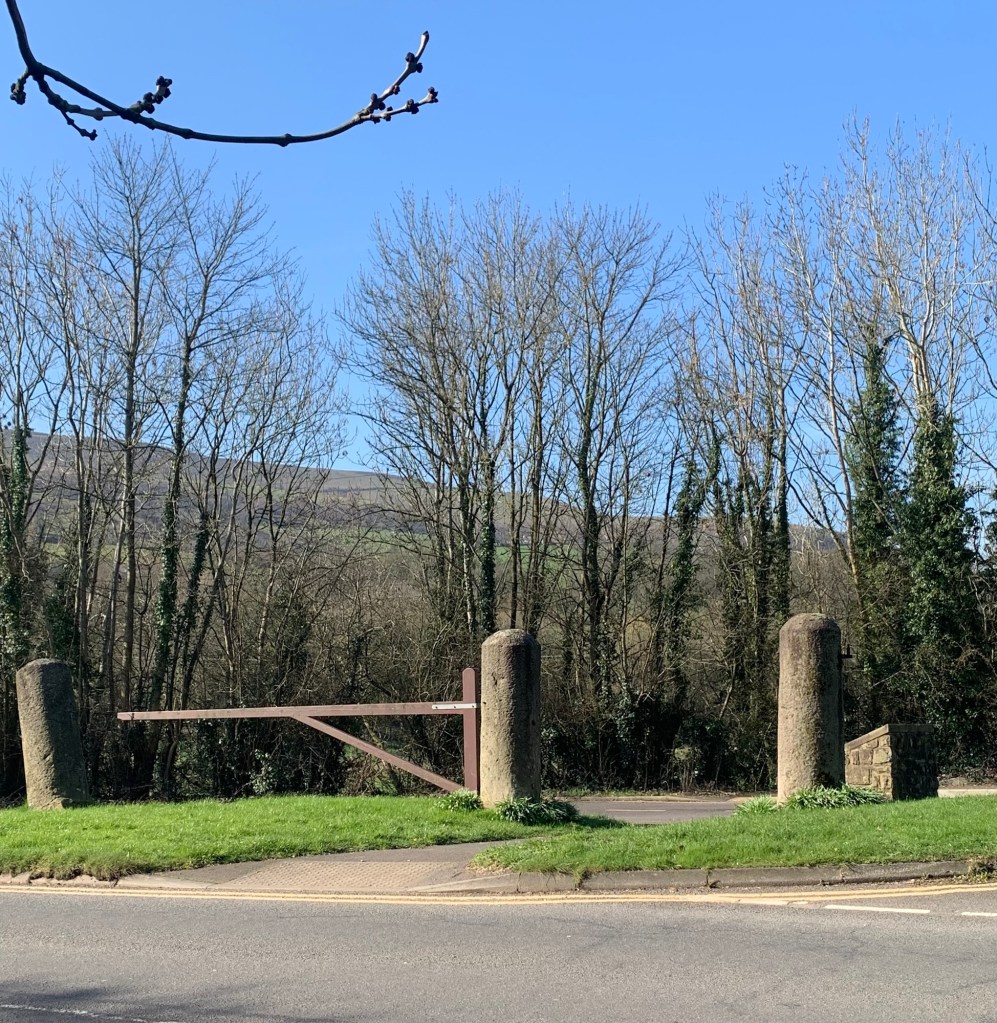
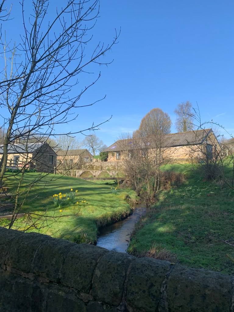
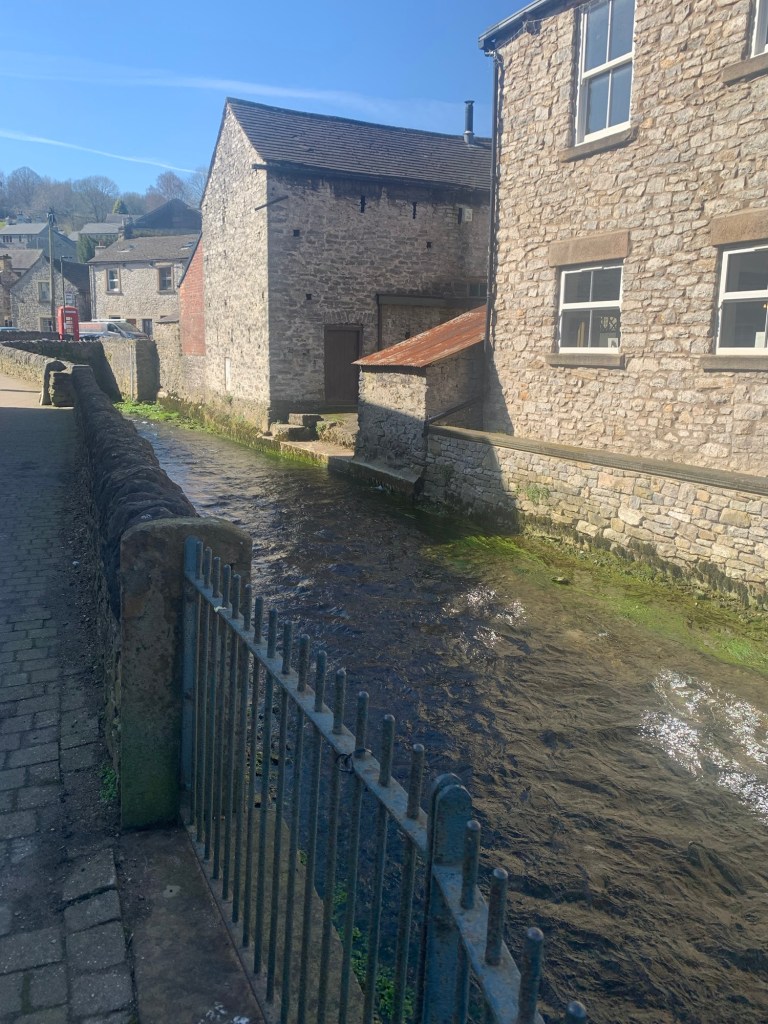
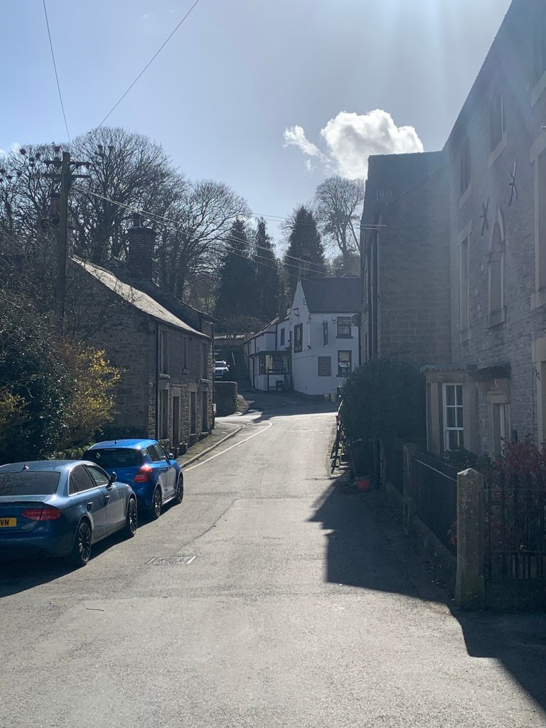
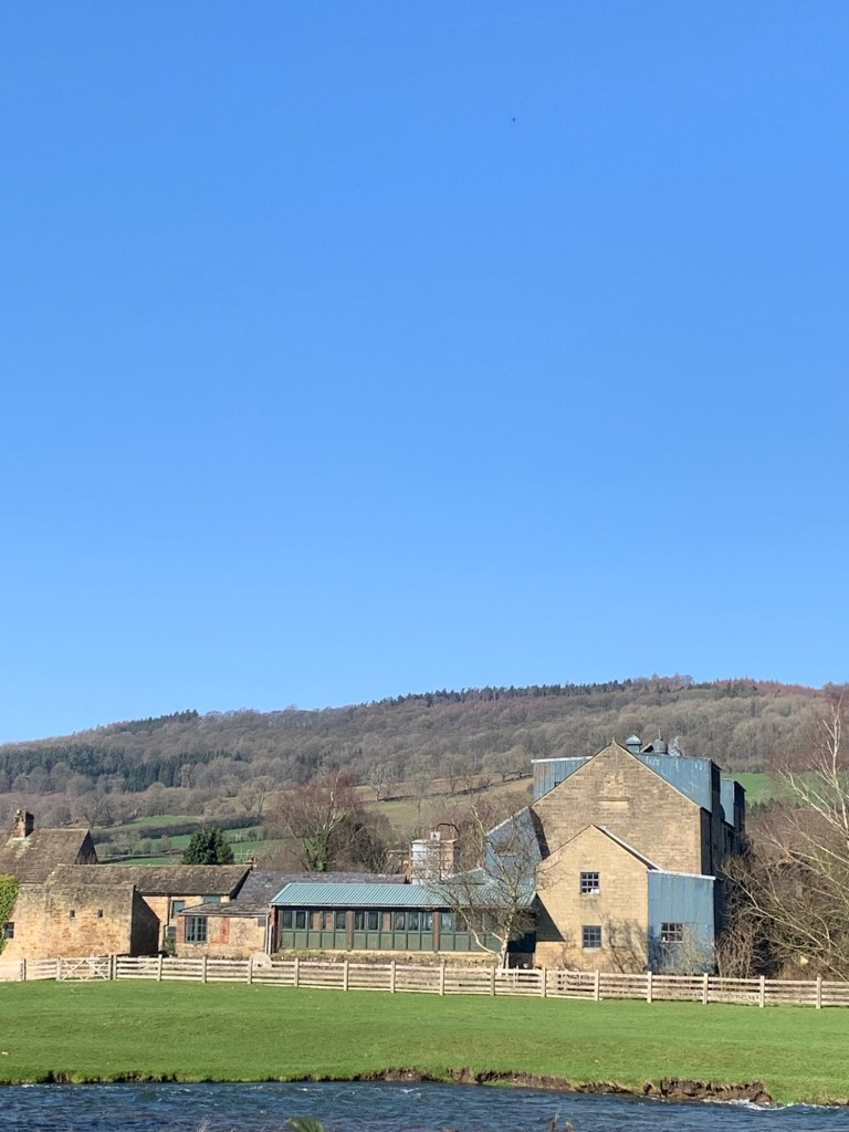
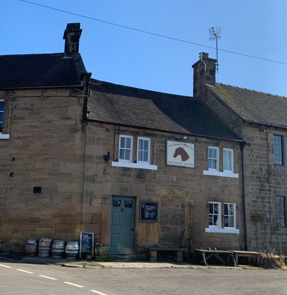
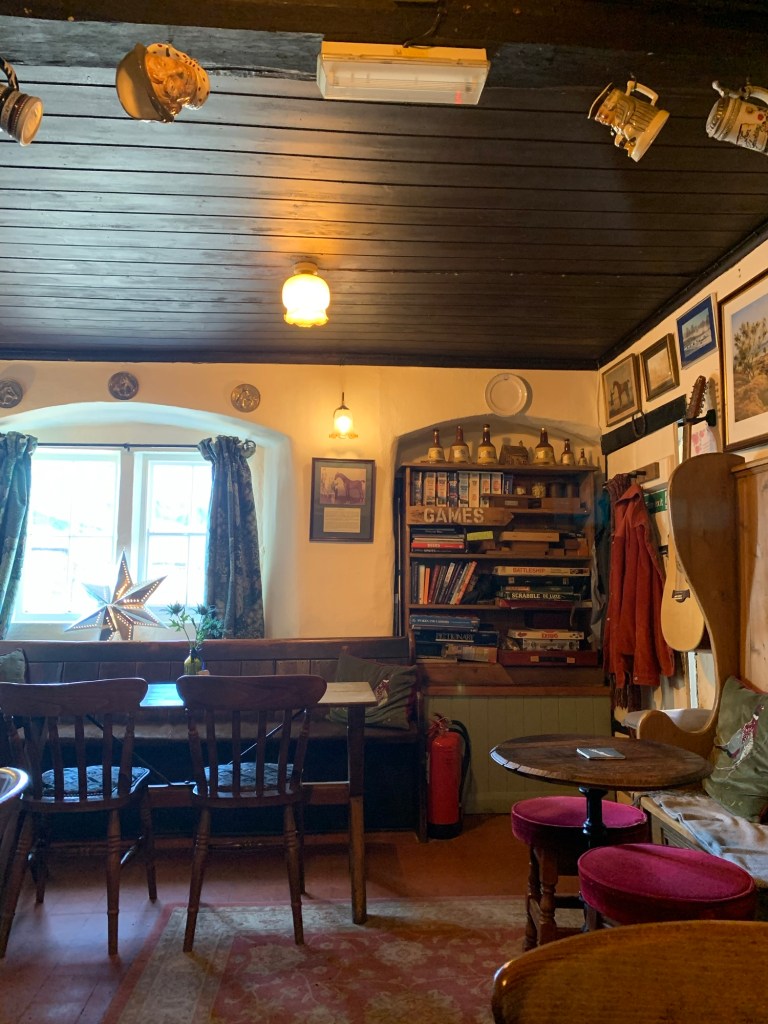
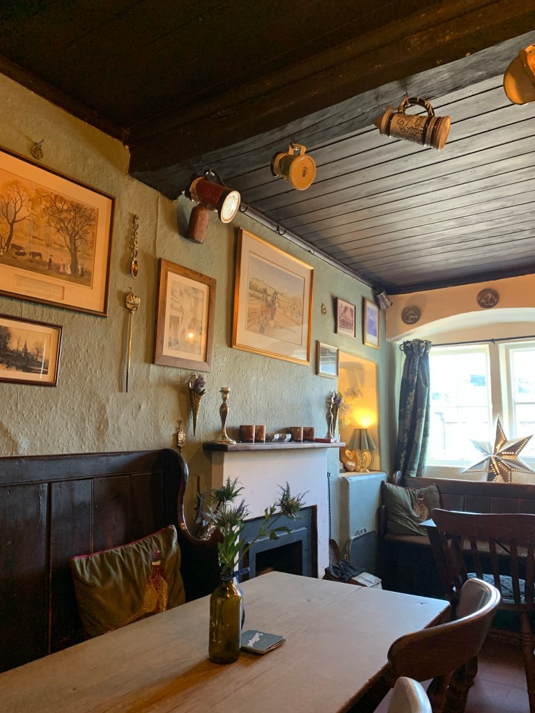
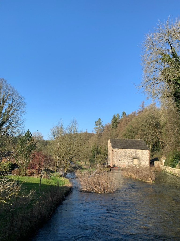
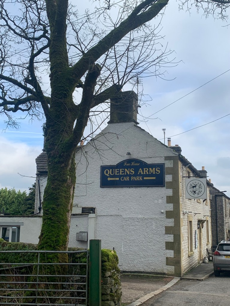
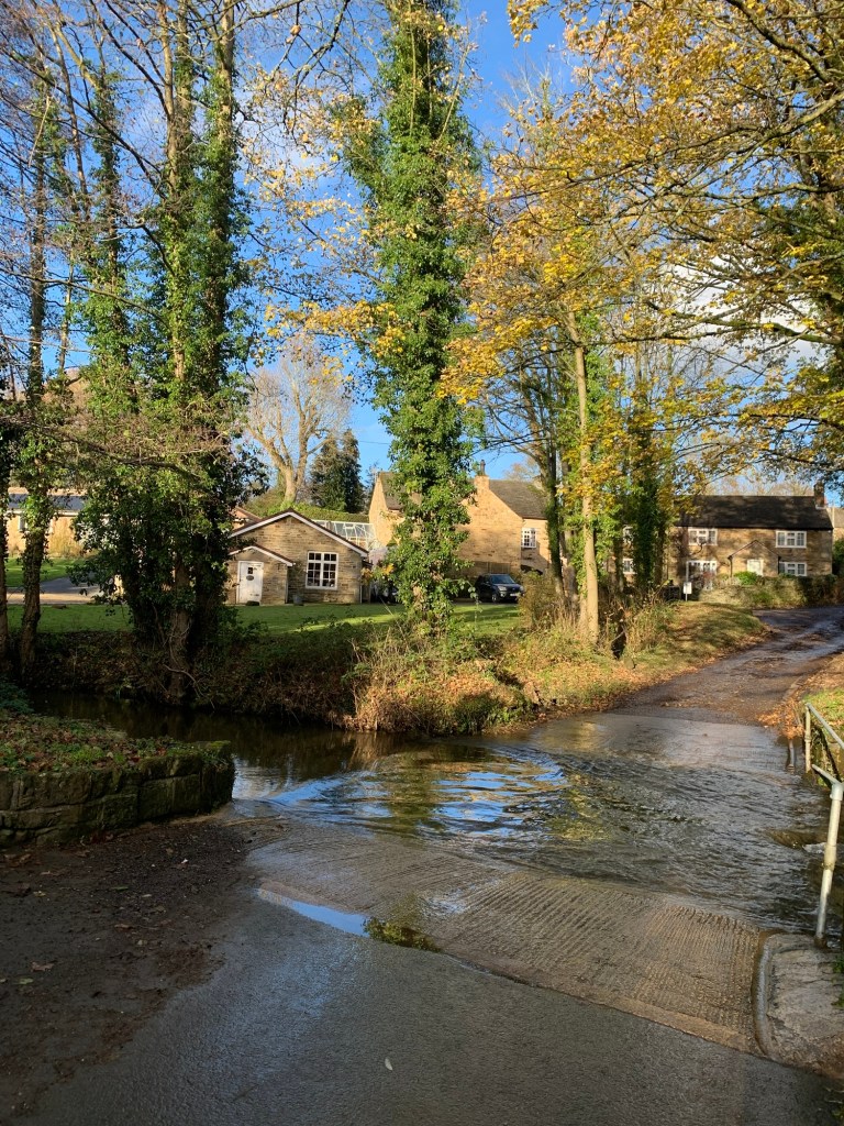
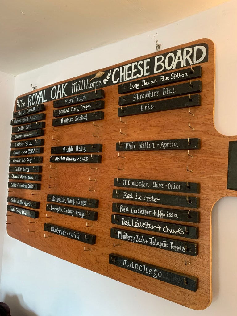
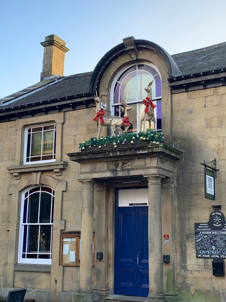
However, in case you’ve not seen the backstreets of Millthorpe before, and/ or if you fancy a break at an amazing pub specialising in cheeseboards, we recommend you turn left here and go over the ford and past the old mill buildings into the village and the Royal Oak.
Today we resist this temptation because there’s a strong chance that, once settled in, we’d get no further …and what kind of a blog would that be?
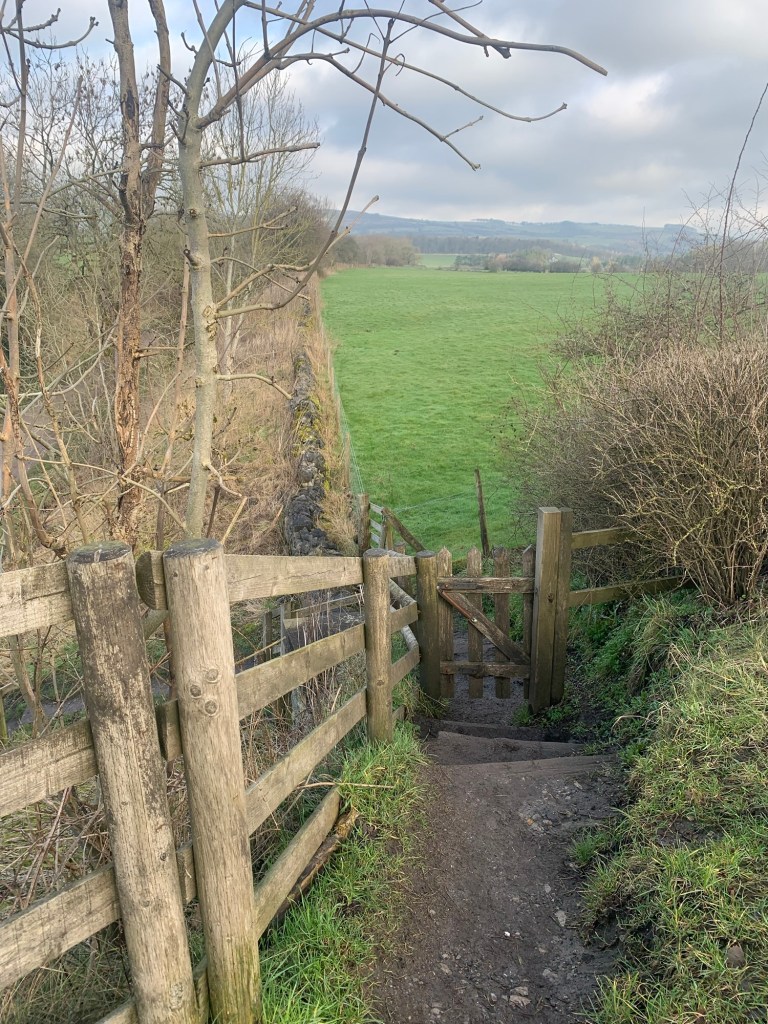
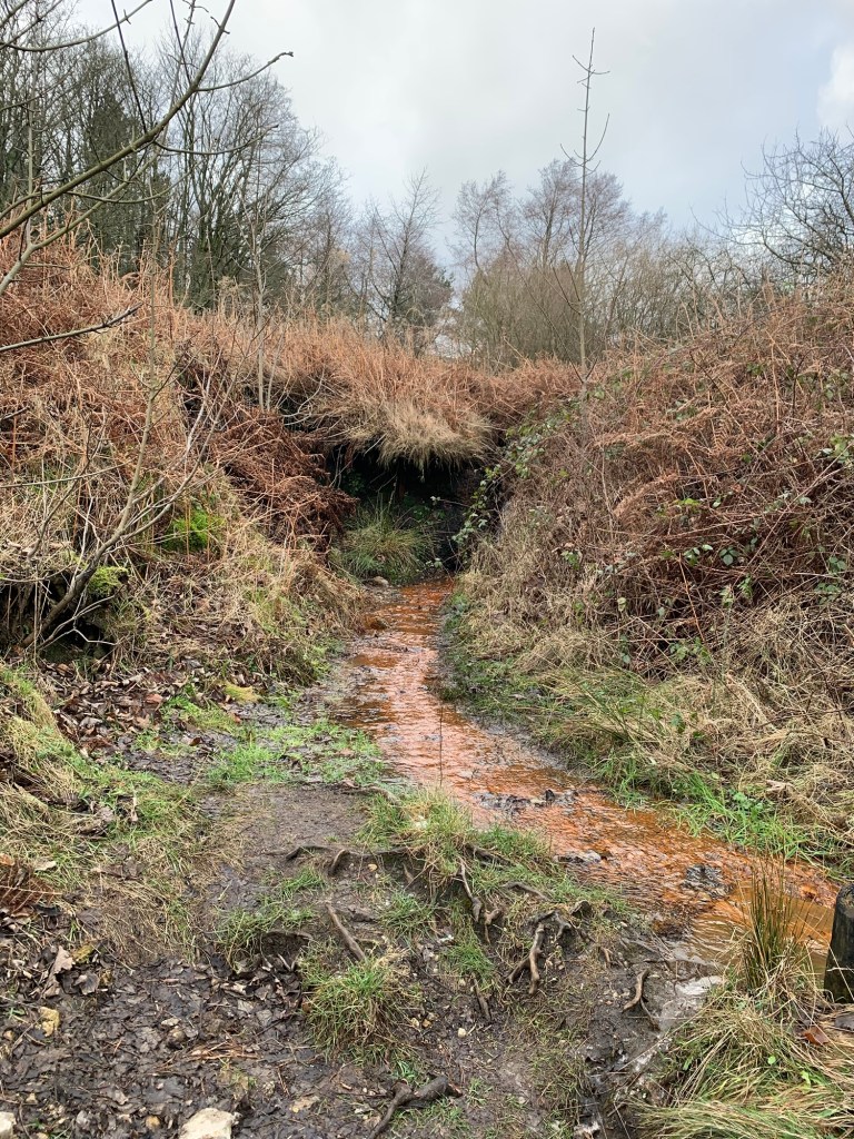
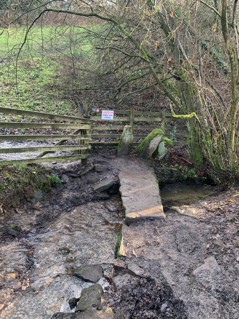
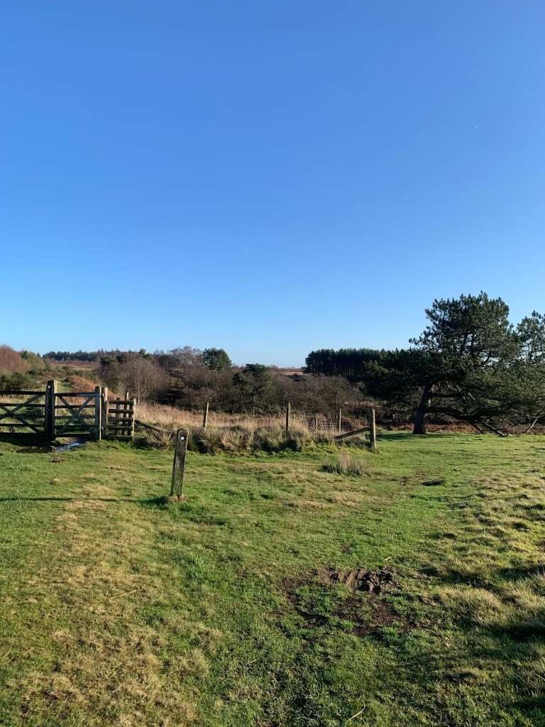
*So instead, we follow the lane to the right which soon becomes a well behaved path. We’re slightly thrown however, when we come to another ford and ( unsurprisingly) take the footbridge rather than wading through the stream. It seems that by doing this we’ve been redirected along the edge of the field and the lovely hollow way we were aiming to follow is just visible next to us through the hedge.
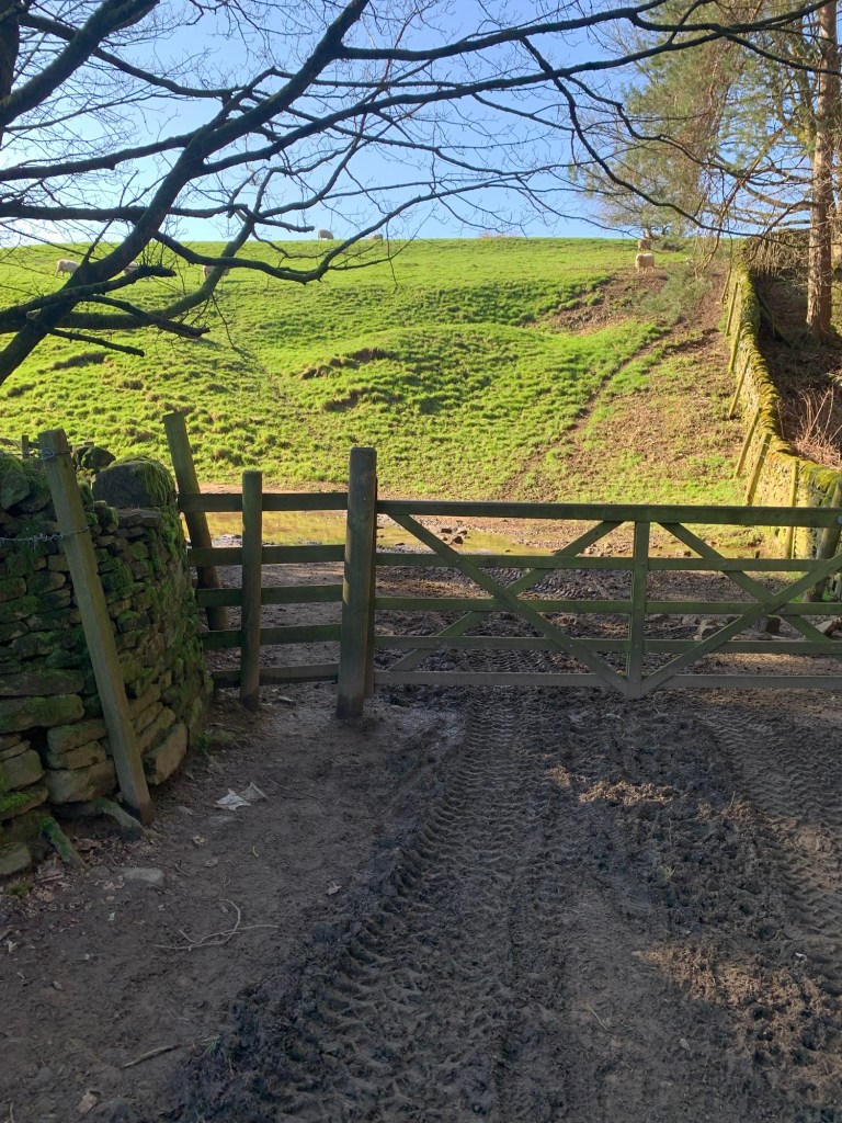
It’s very odd but it all ends happily as there’s a gate at the top of the field that we can get out of.
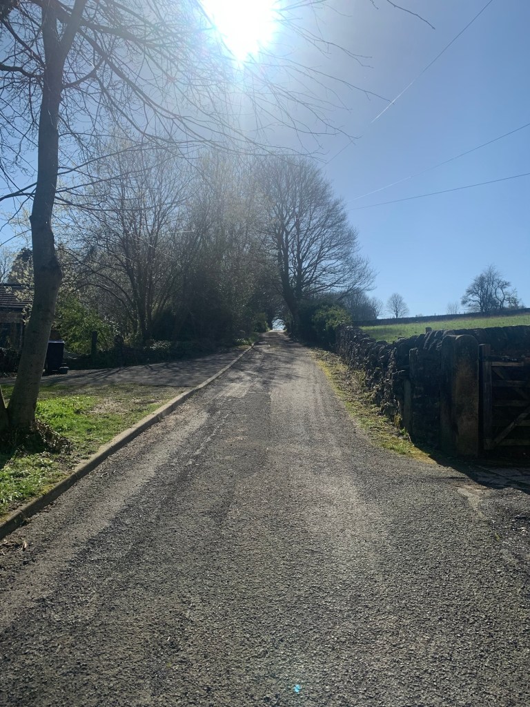
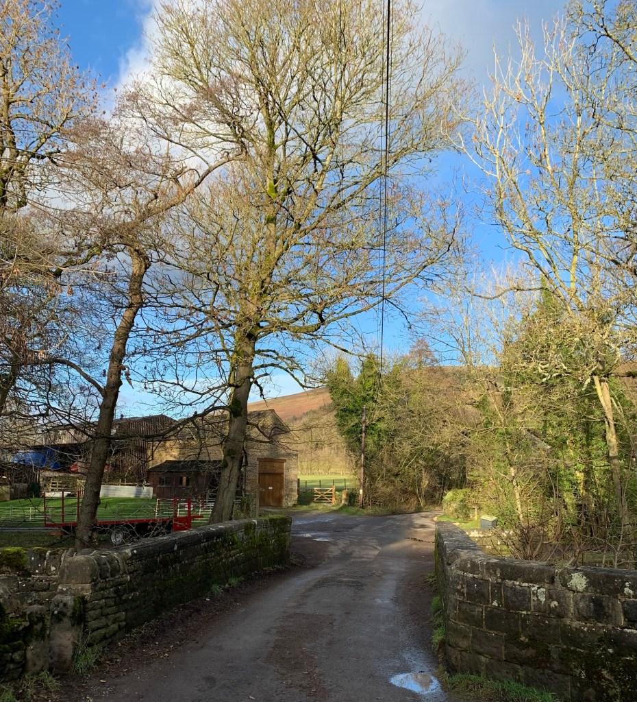
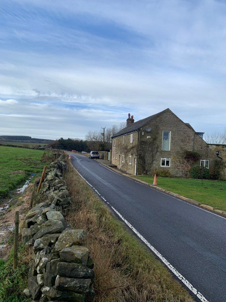
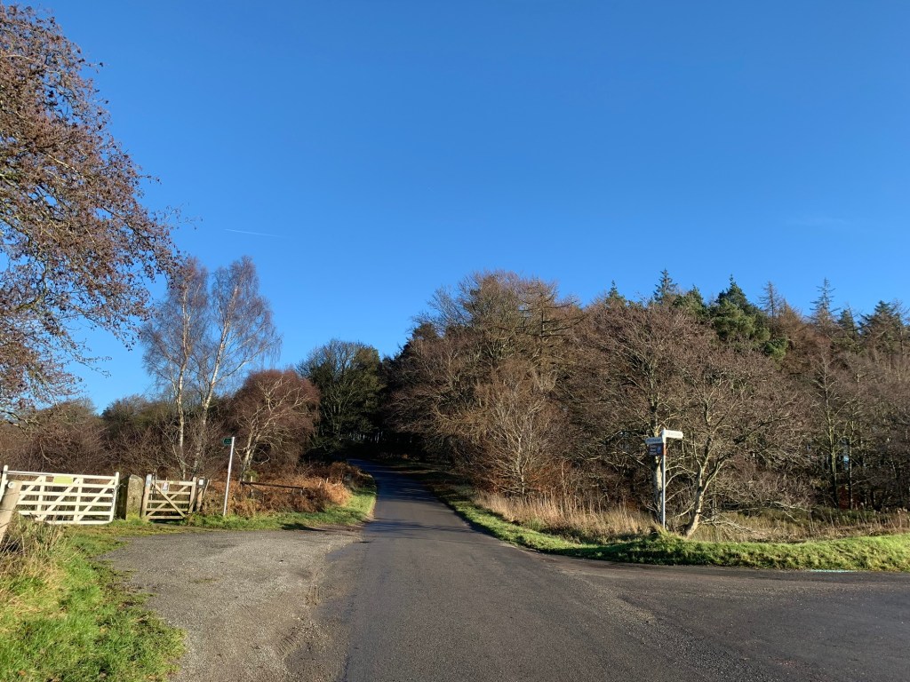
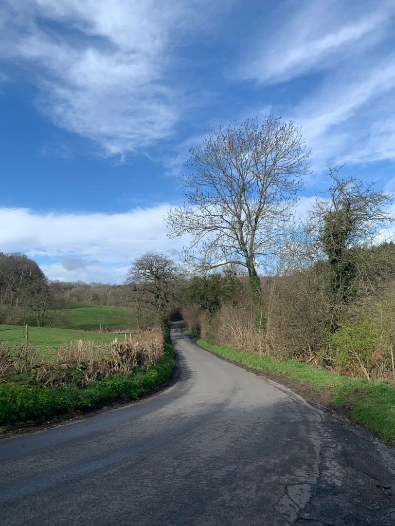
We pass between a couple of buildings and turn left onto the road, Johnnygate which is easy and pleasurable walking.
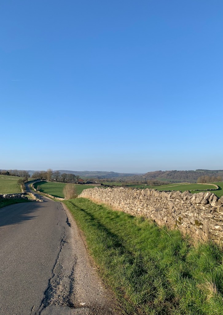
We come back down to the main road which runs along the main Cordwell Valley and cross straight over to follow Highlightly Lane. We are positively shooting along now that we’ve swapped mud for tarmac and we meet very little traffic so it’s all very pleasant.
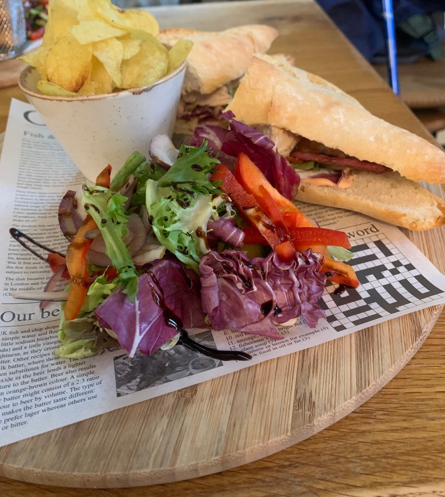
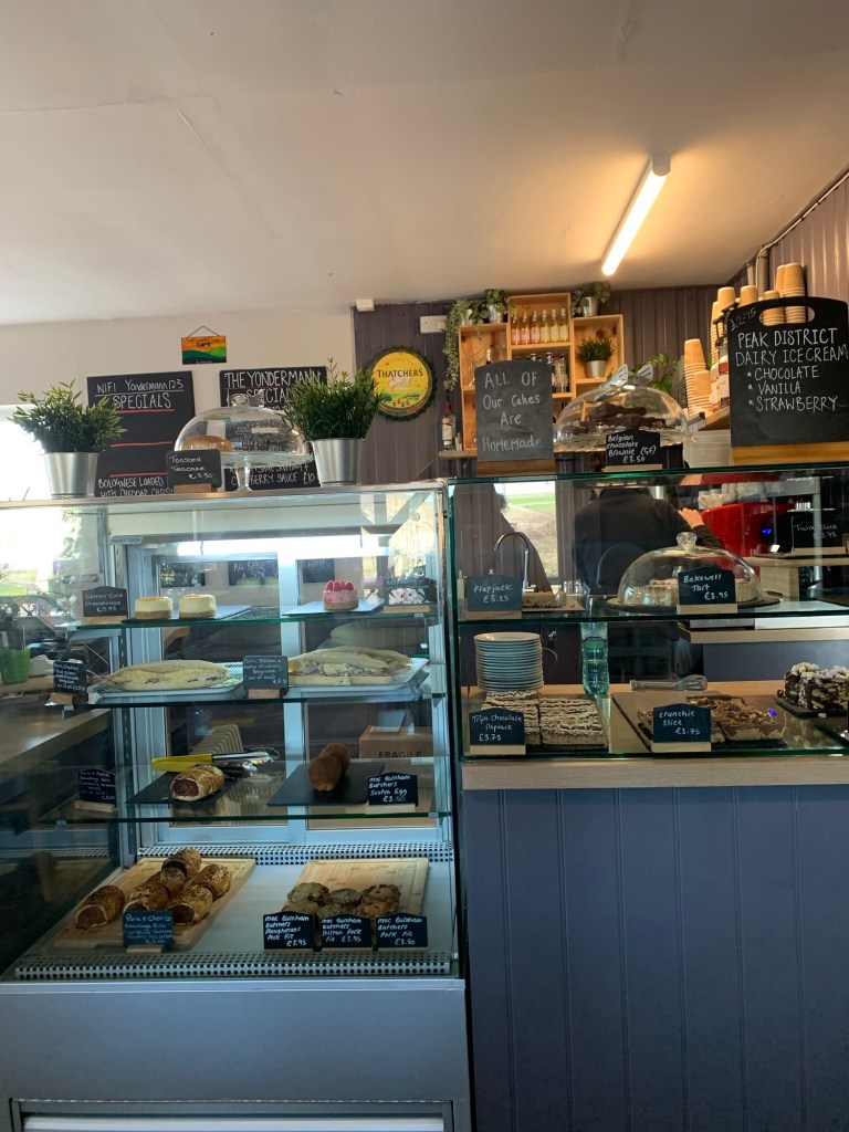
Soon we arrive at the delightfully named hamlet of Crowhole where it’s slightly busier but there’s a pavement all the way on through Commonside and then to Barlow where our favourite Hackney House Cafe awaits.
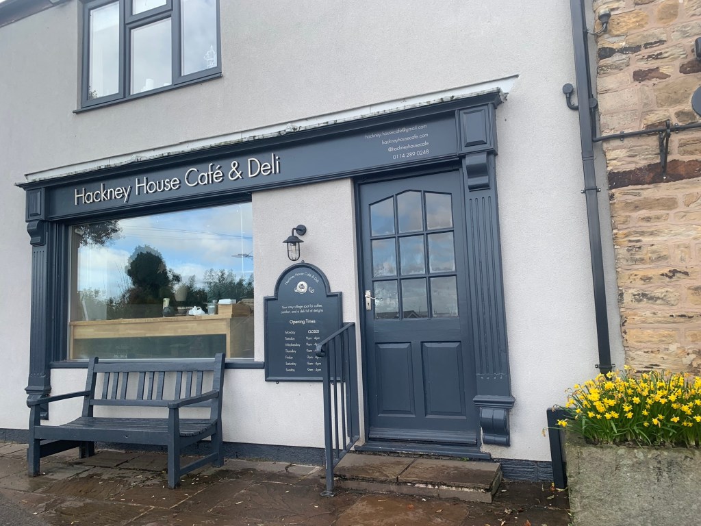
It’s hard to be moderate here because everything looks so nice. We decide
to share, but we share so many things in the end we still manage to leave feeling very full and hoping for no squeeze stiles for at least half an hour.
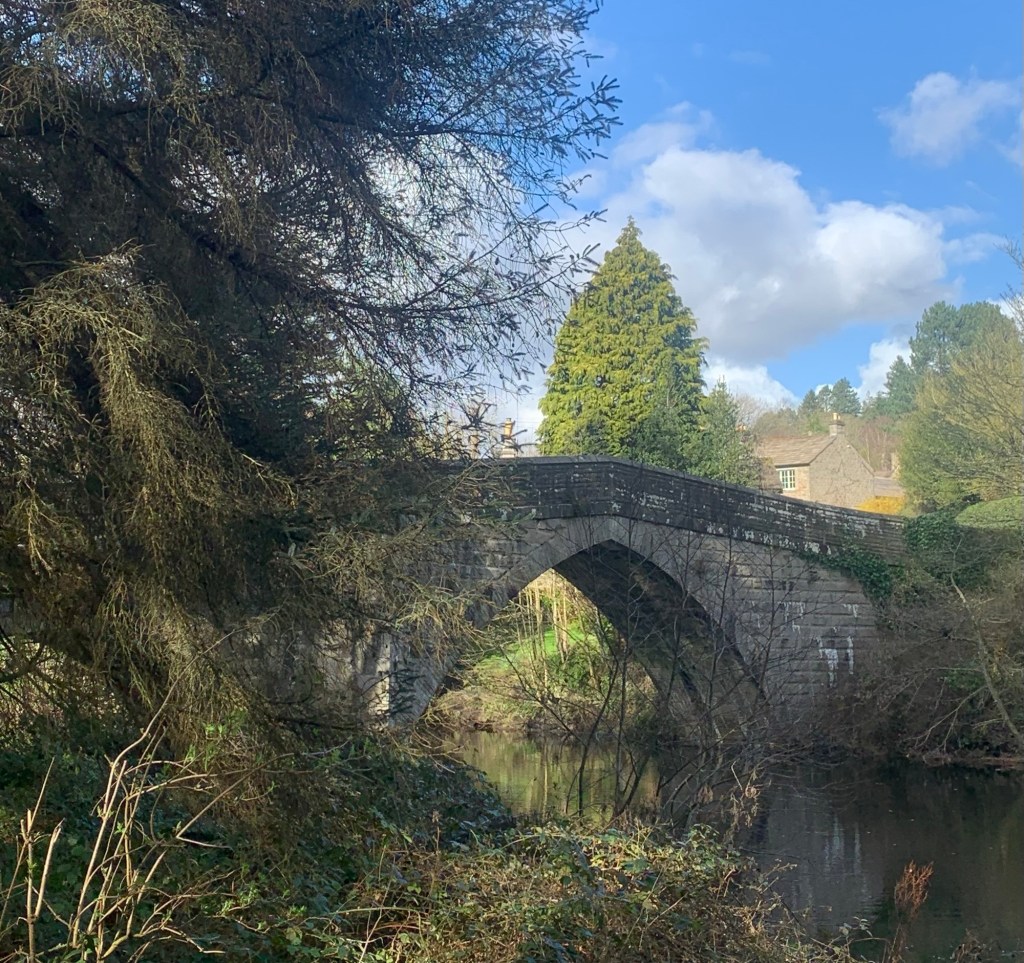
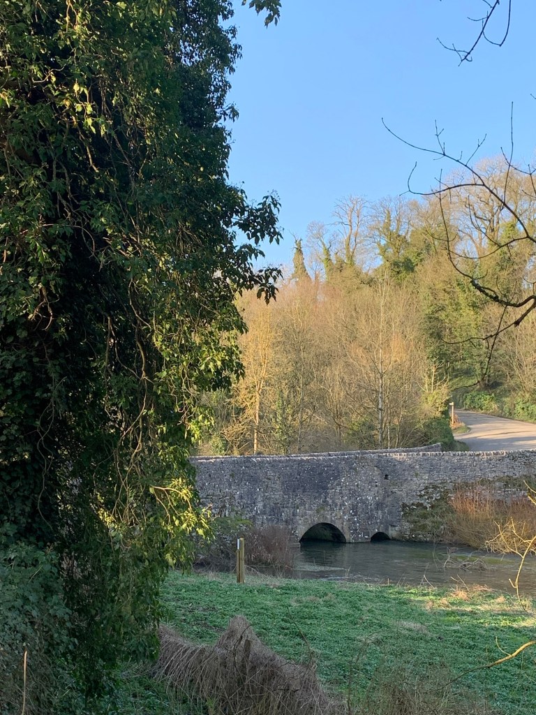
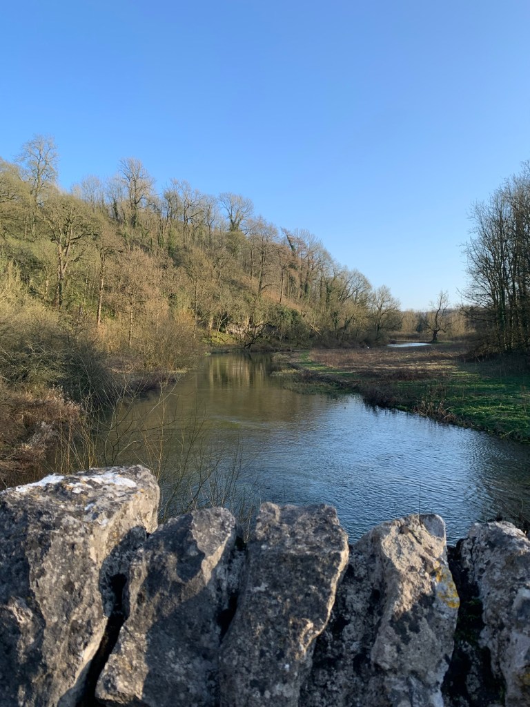
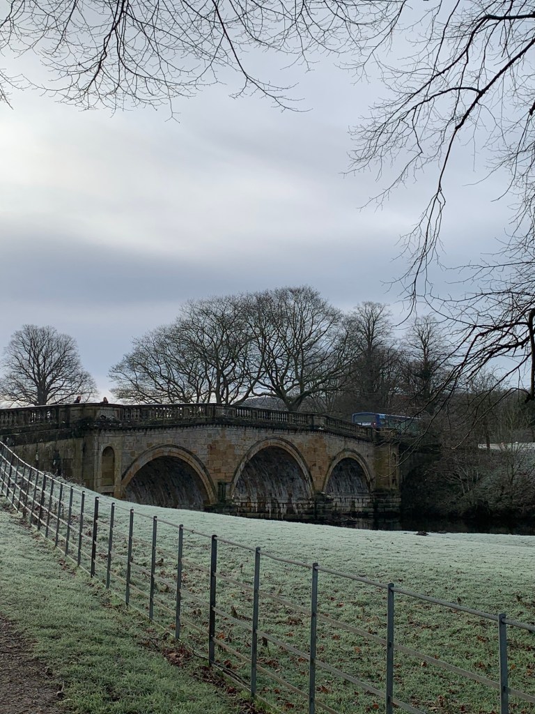
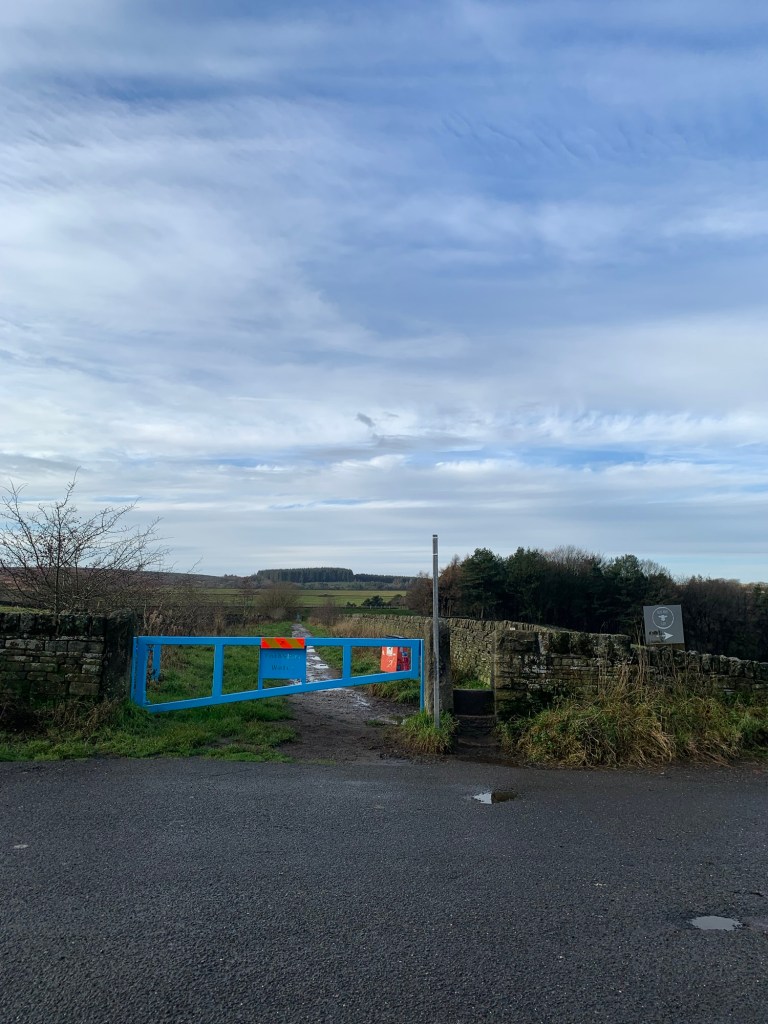
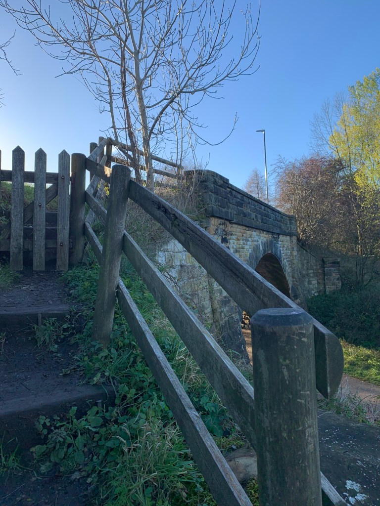
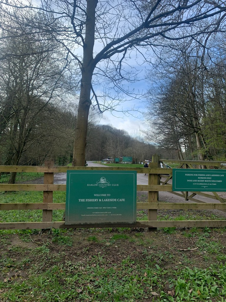
First of all we backtrack briefly along the main road but we soon branch right, down to the bottom of Smeltinghouse Lane and over the old bridge that we crossed in the opposite direction on our “I For Ingmanthorpe” walk.
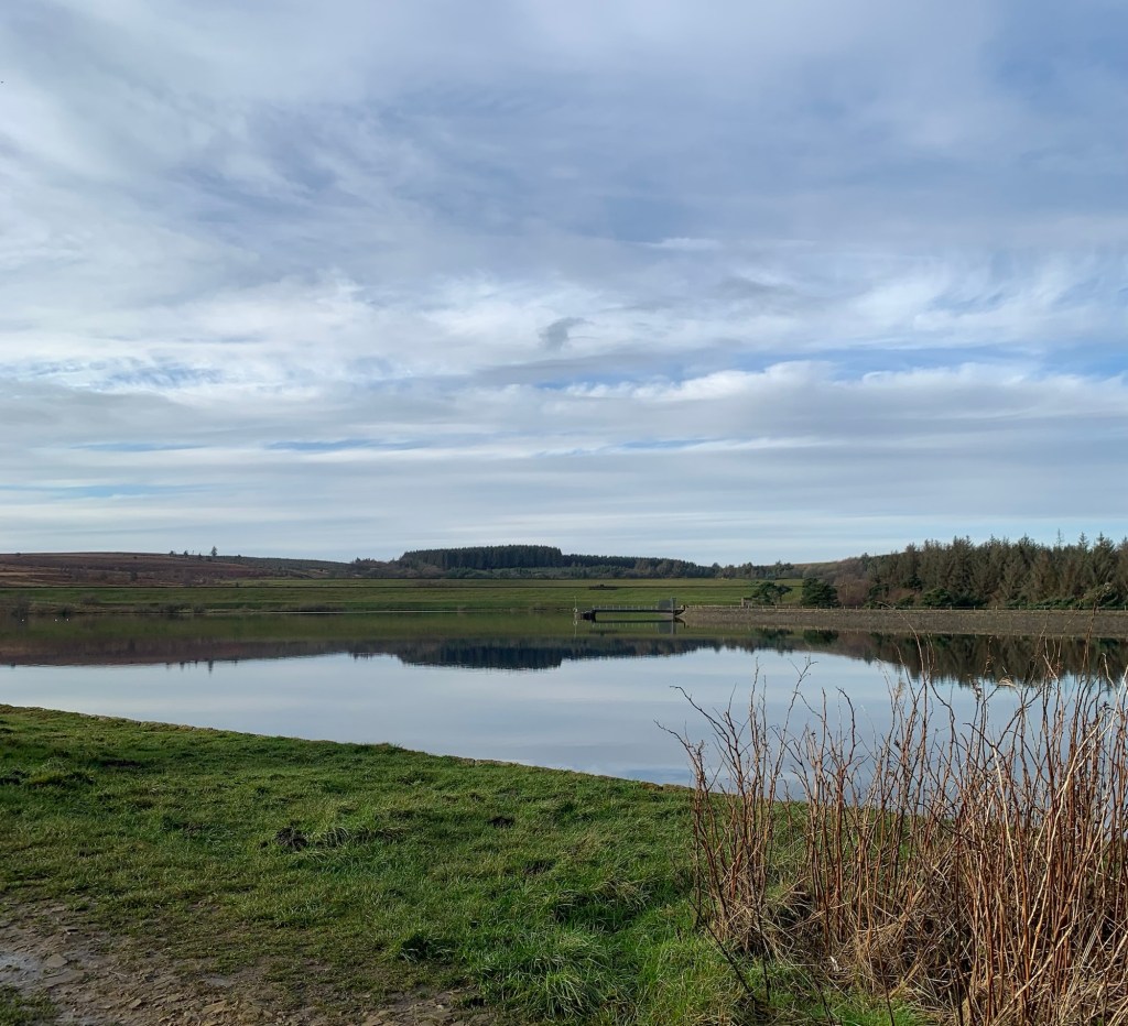
Leaving the fishing lakes on our left
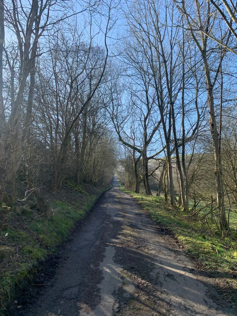
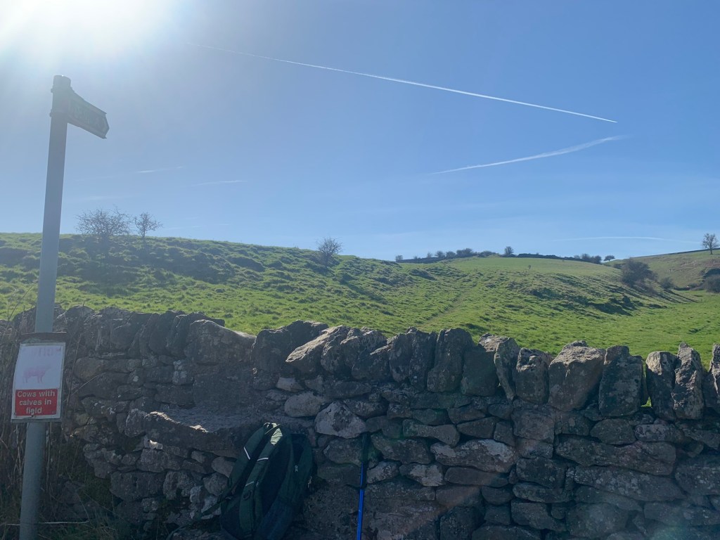
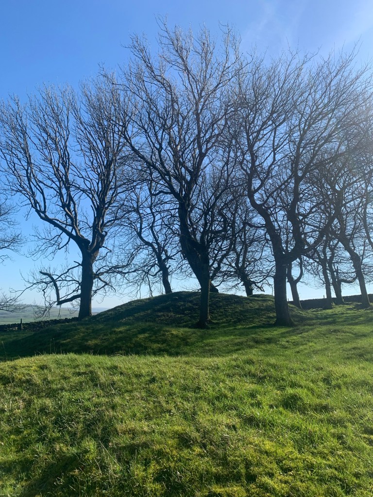
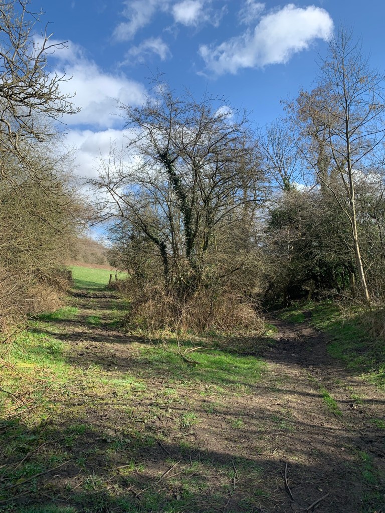
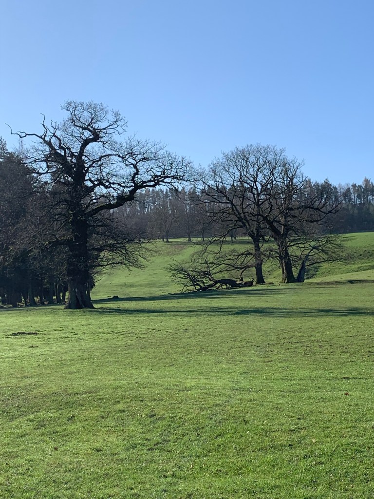
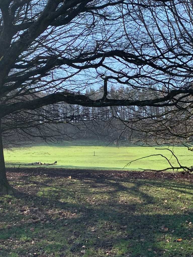
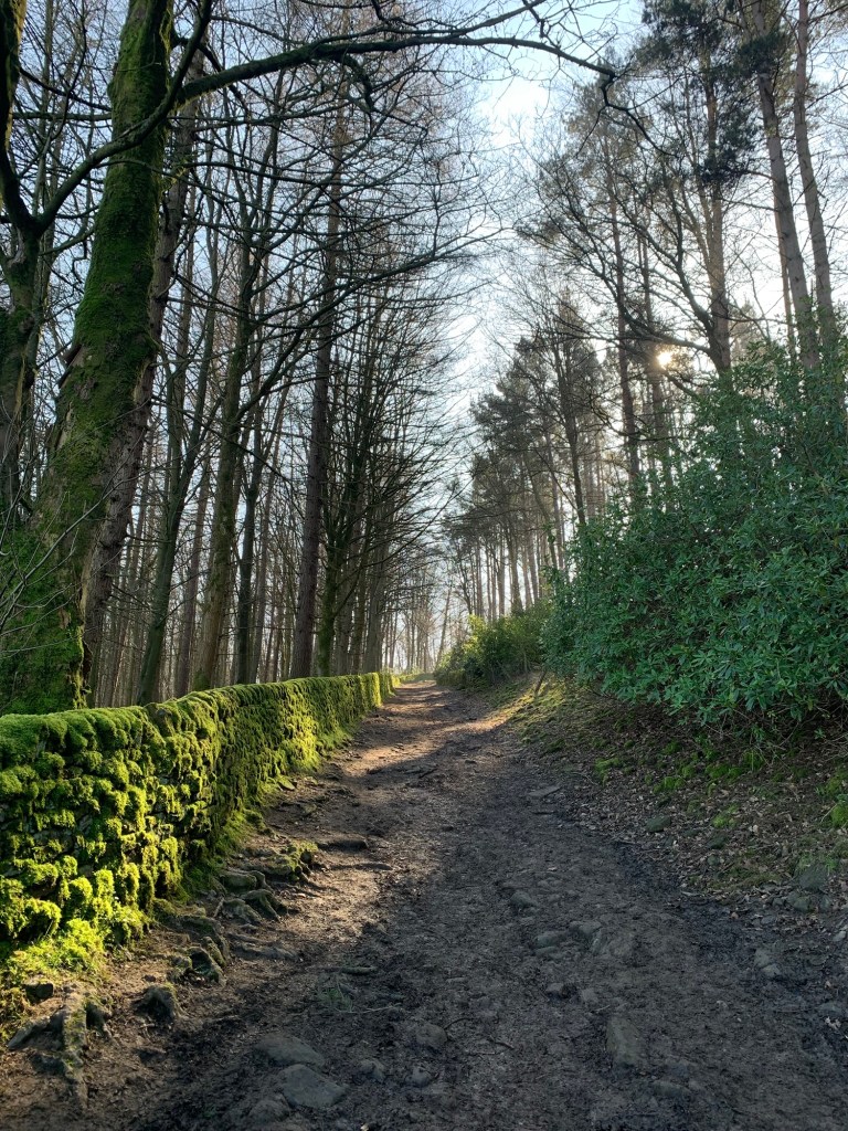
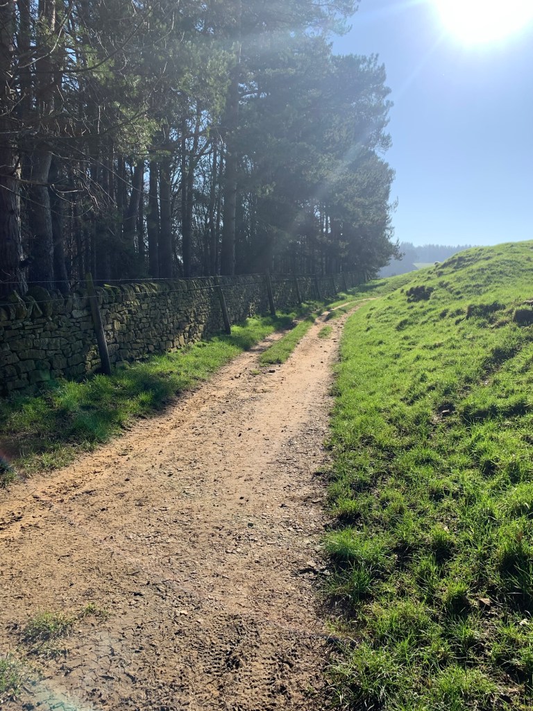
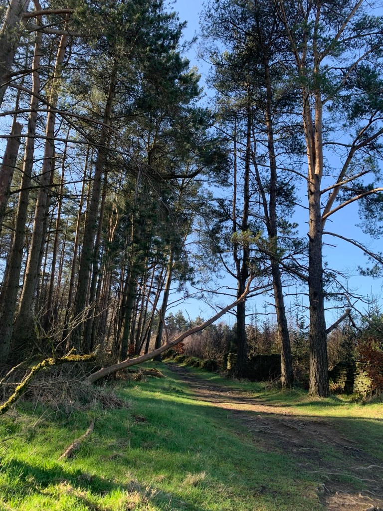
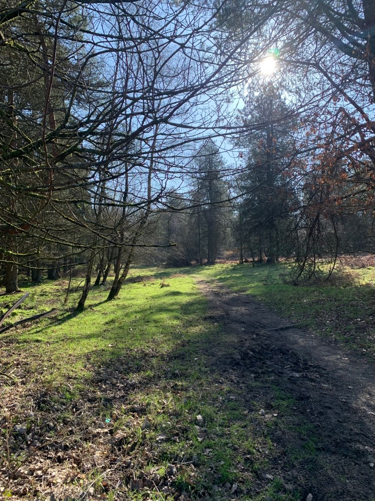
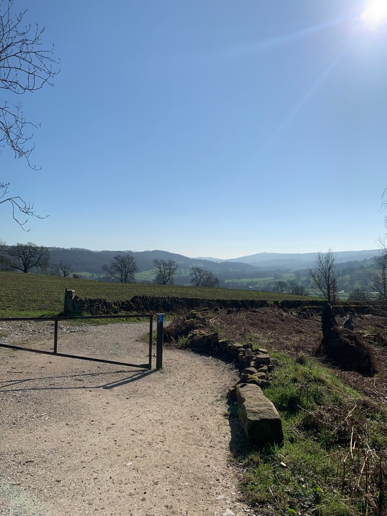
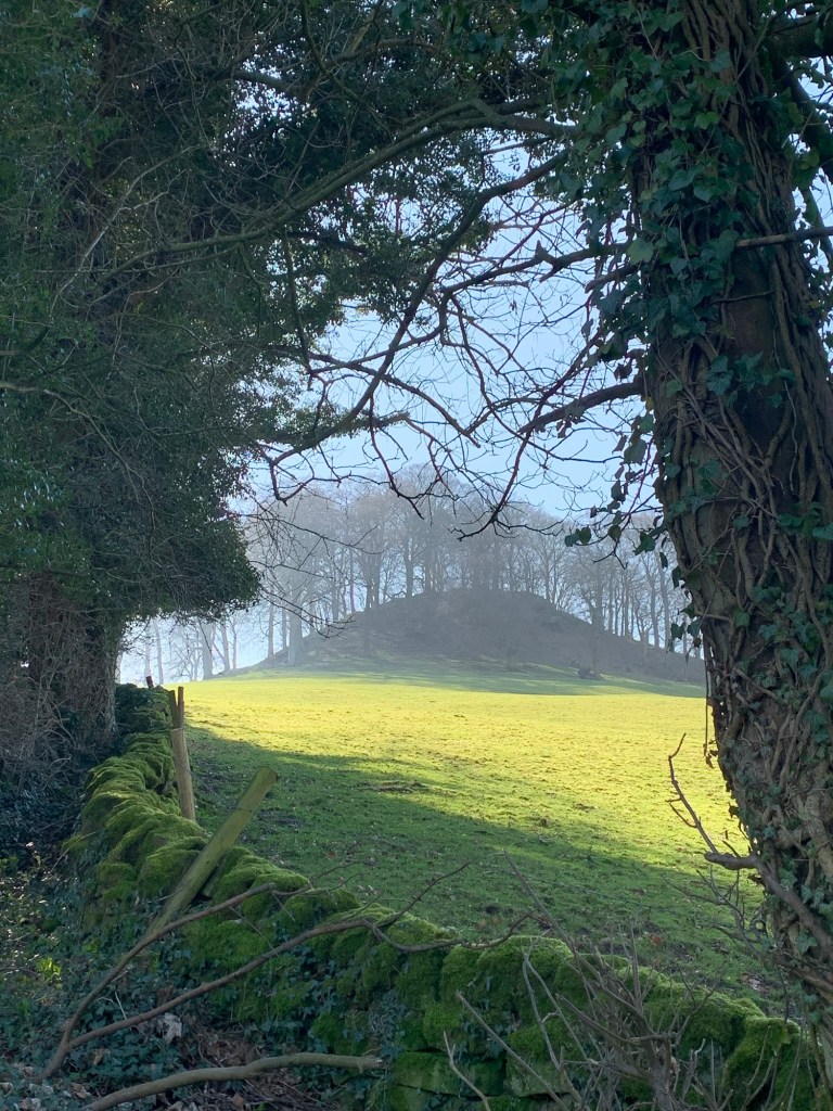
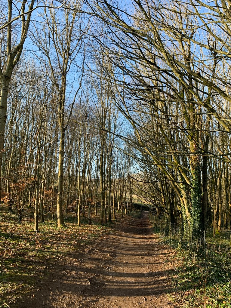
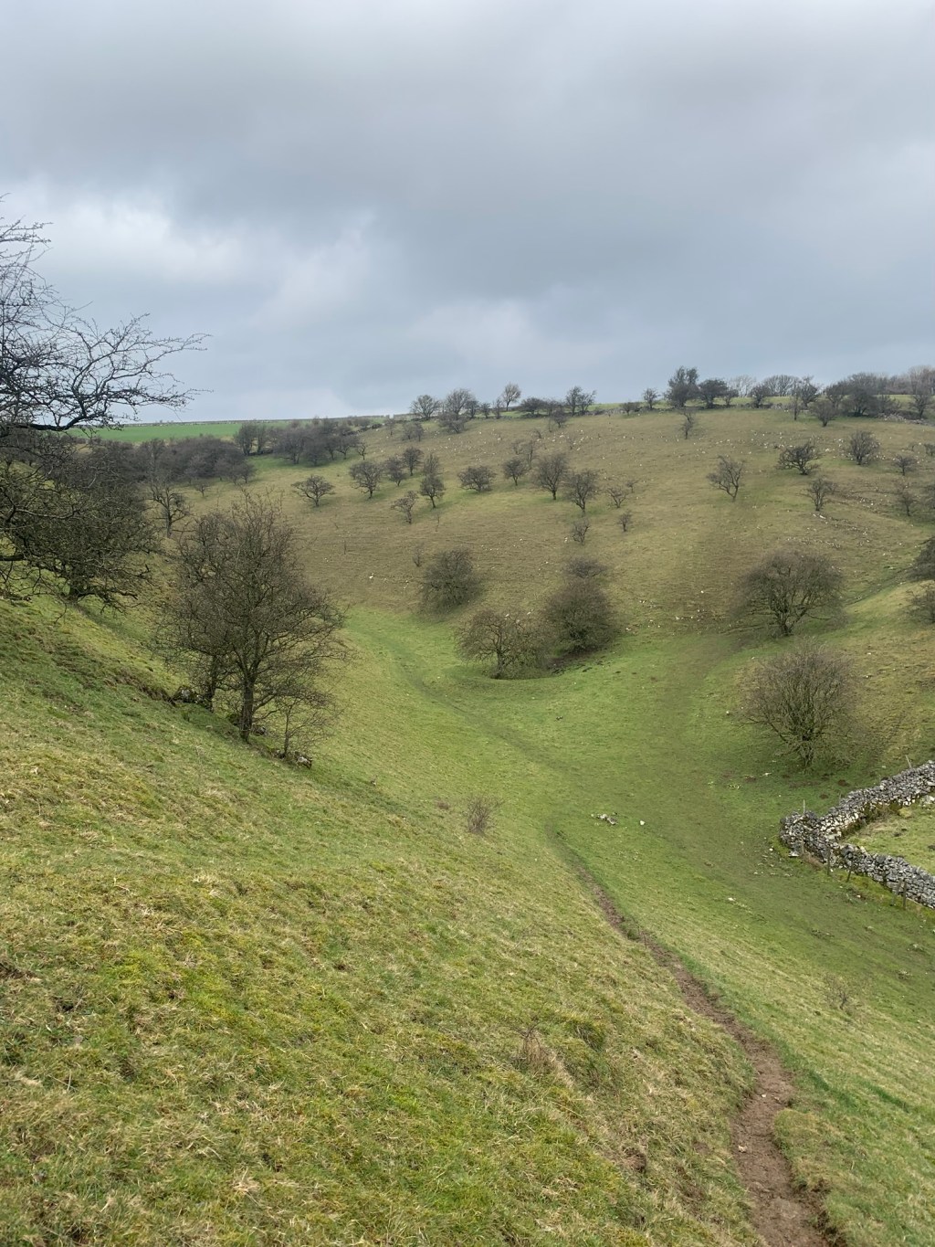
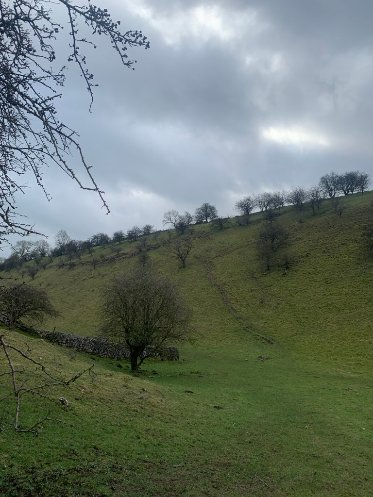
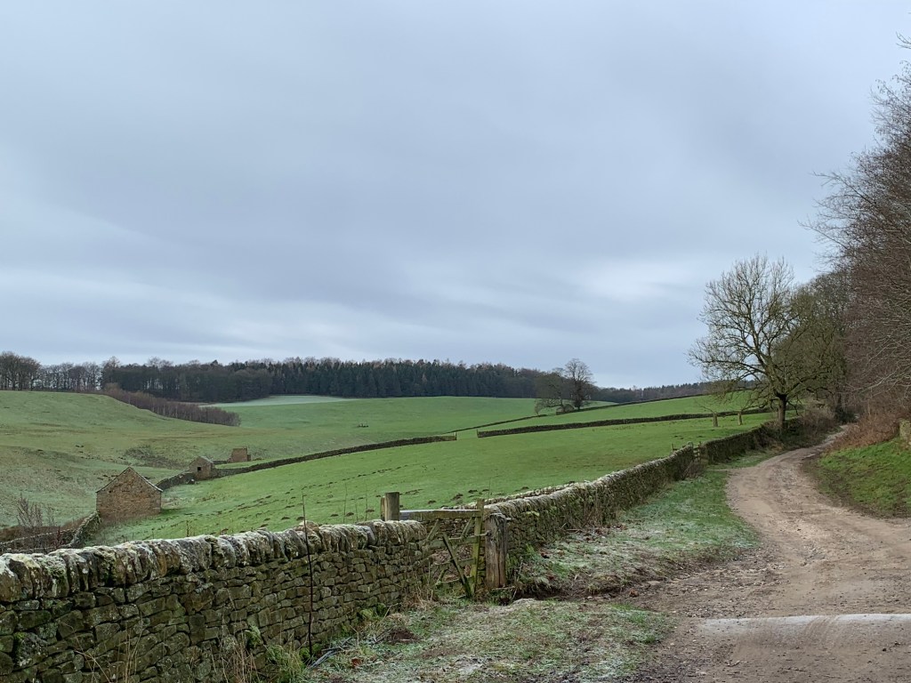
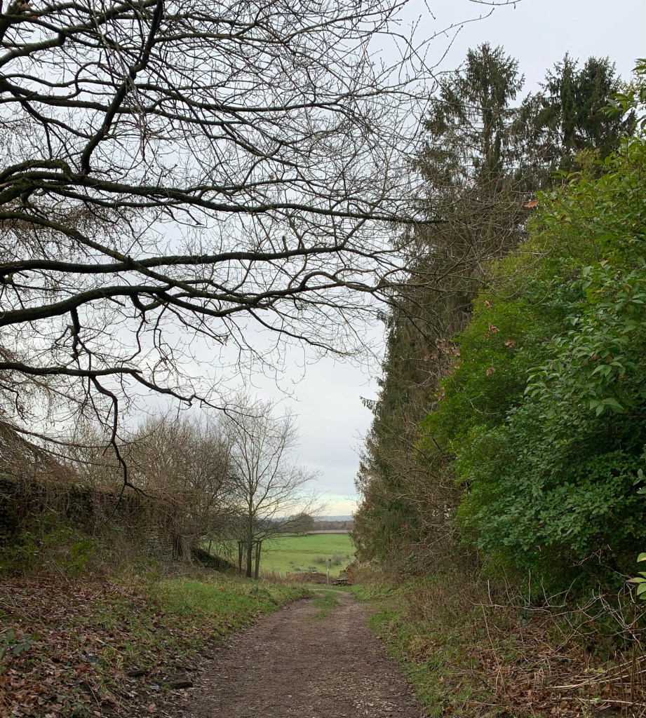
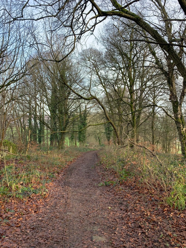
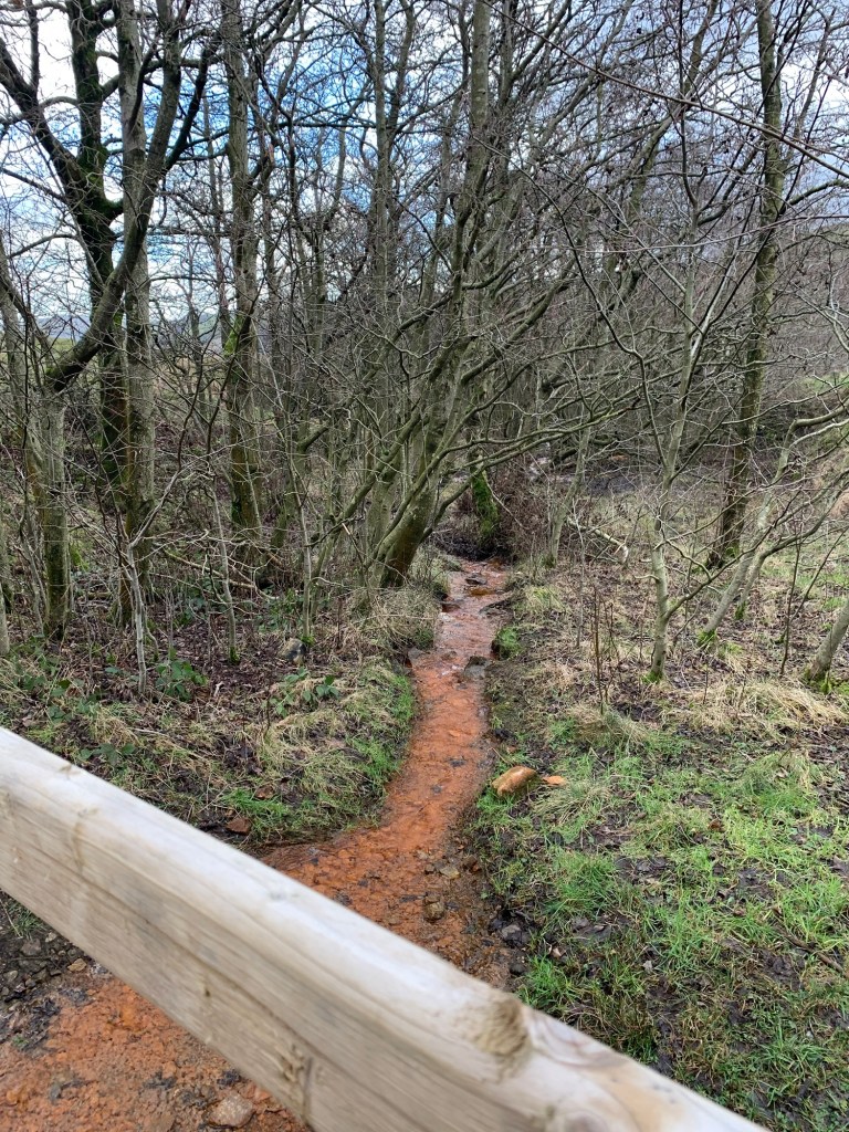
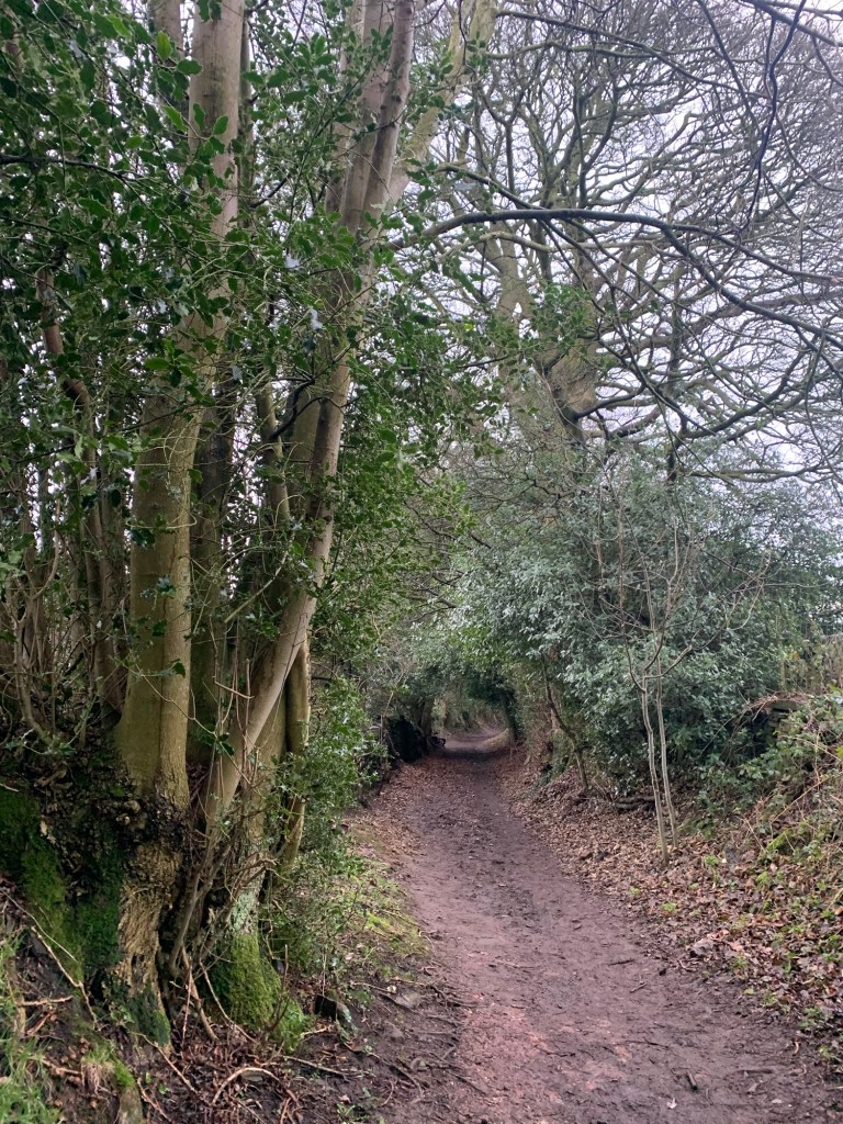
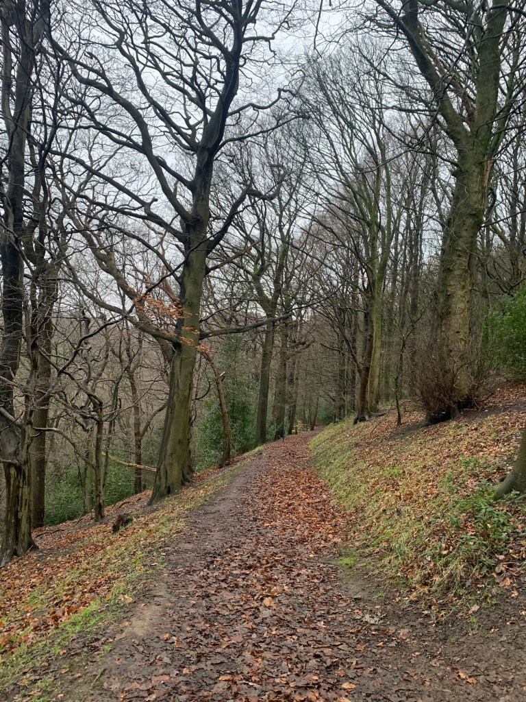
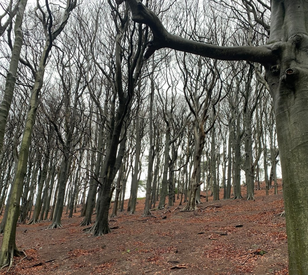
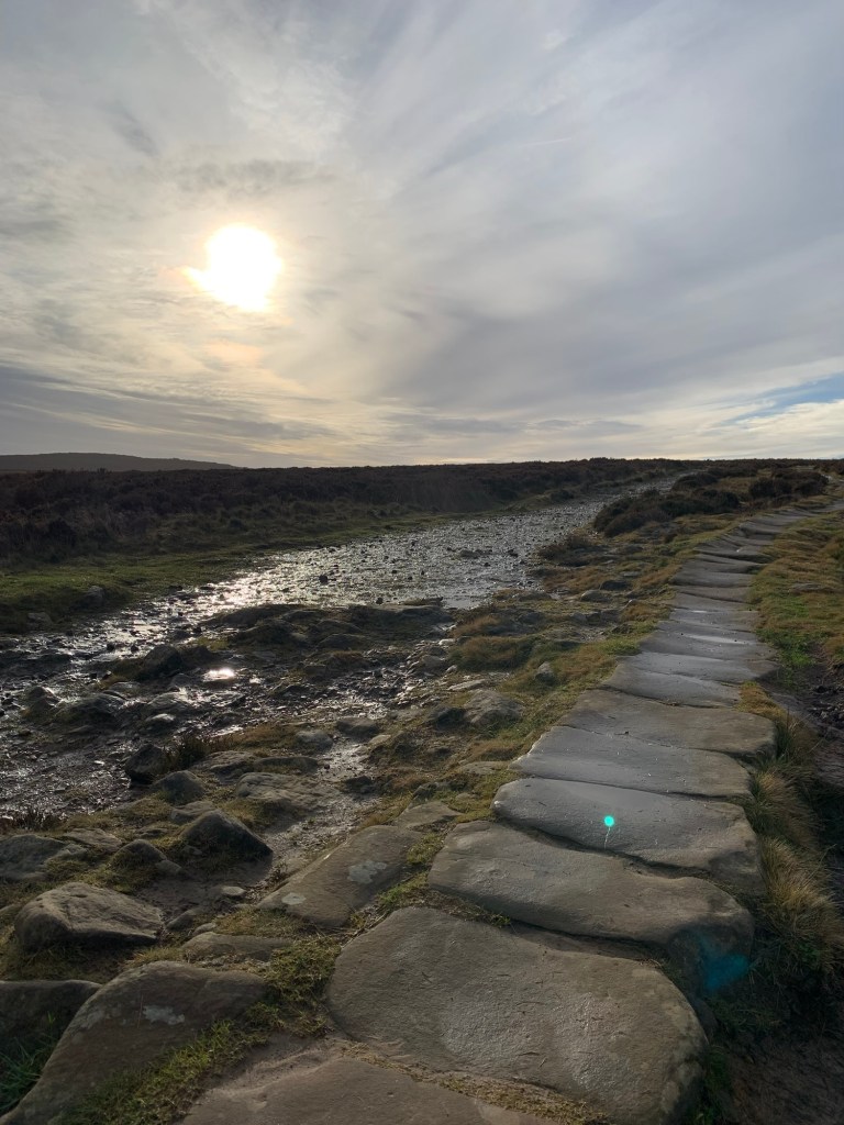
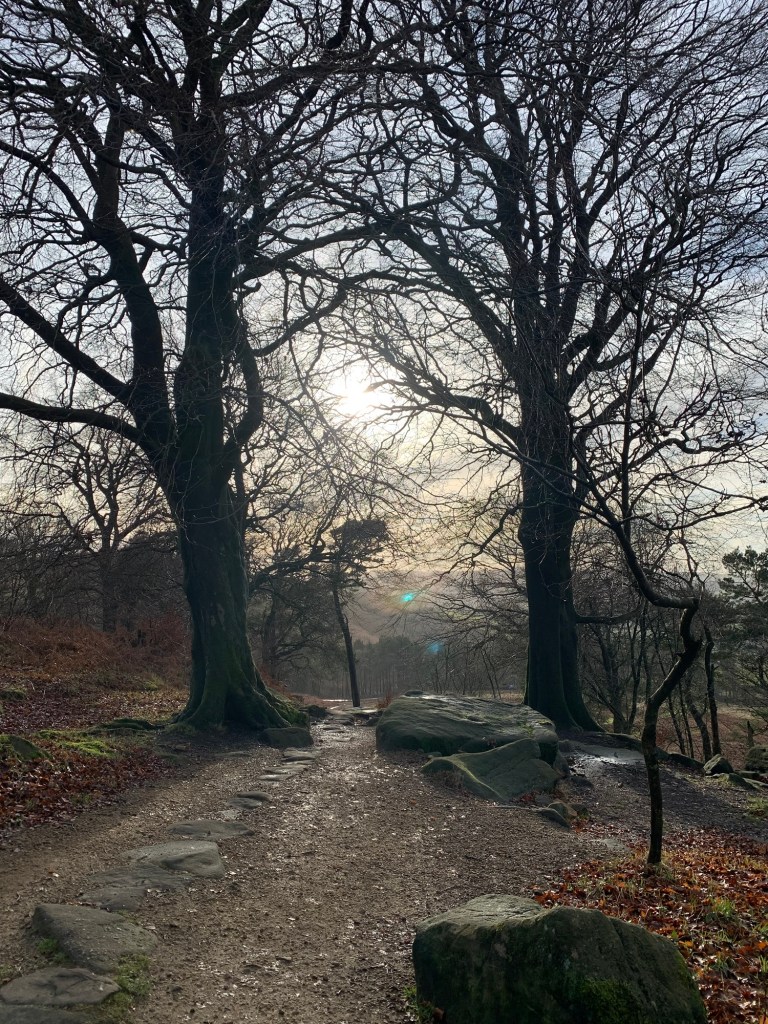
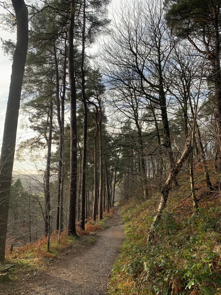
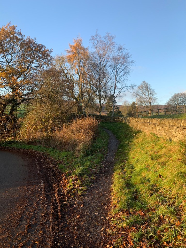
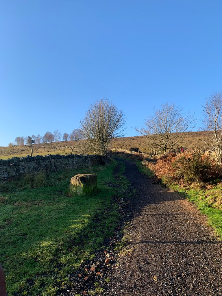
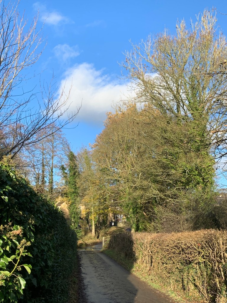
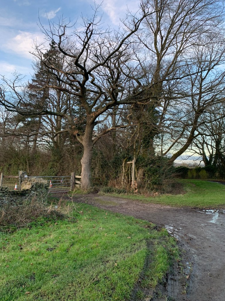
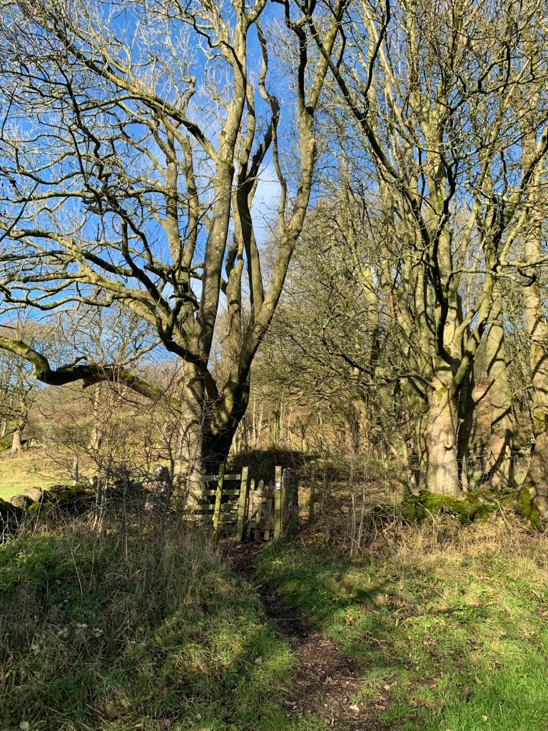
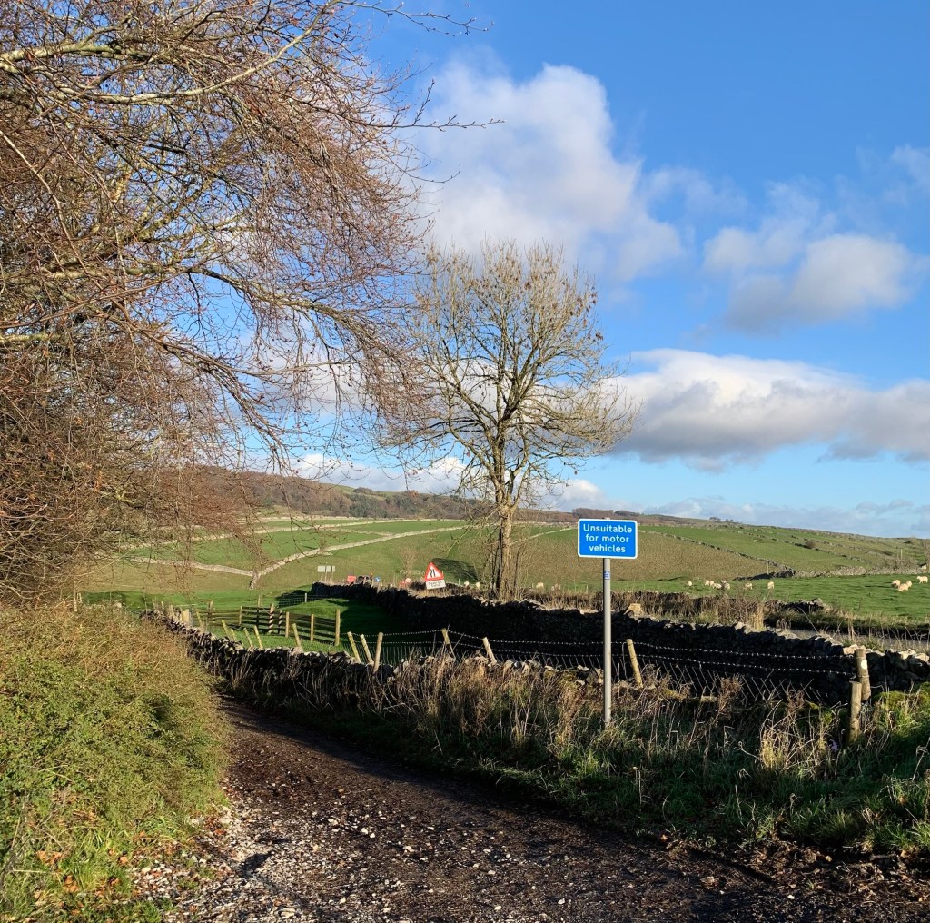
we continue straight ahead and uphill along an ancient- feeling hollow way
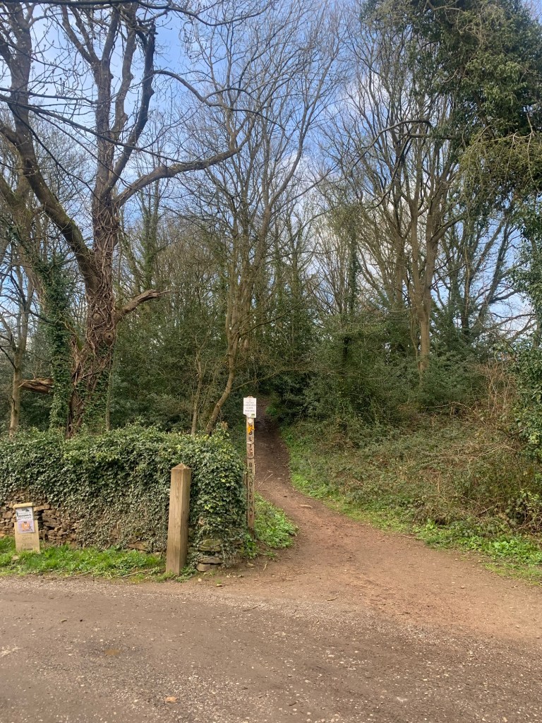
and this is where we meet Treebeard or one of his mates… I’m sure Tolkien would have had a field day around here.
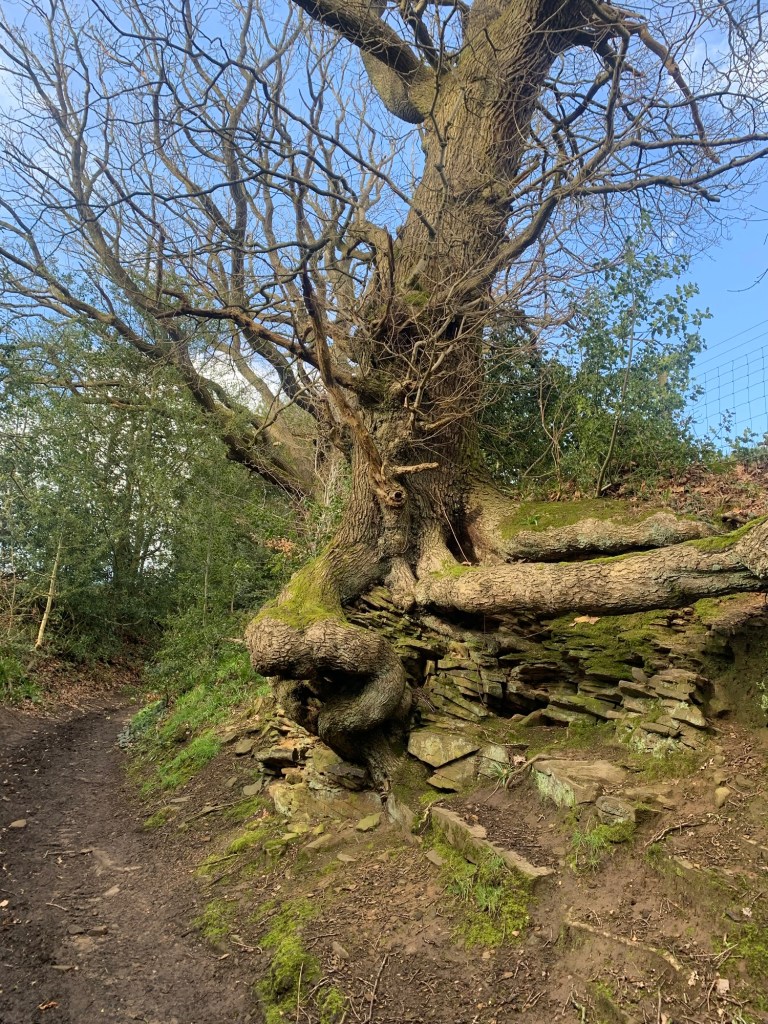
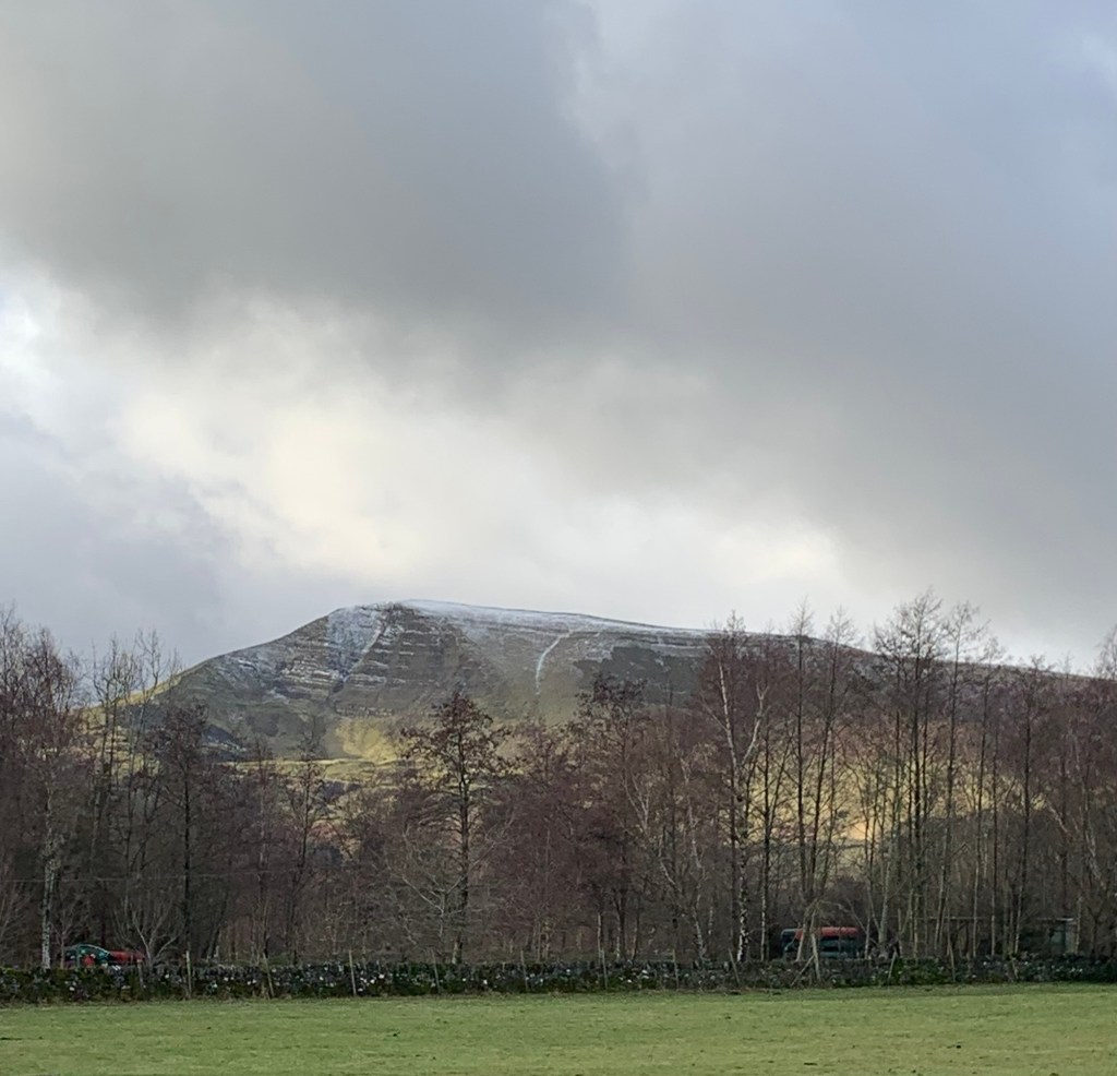
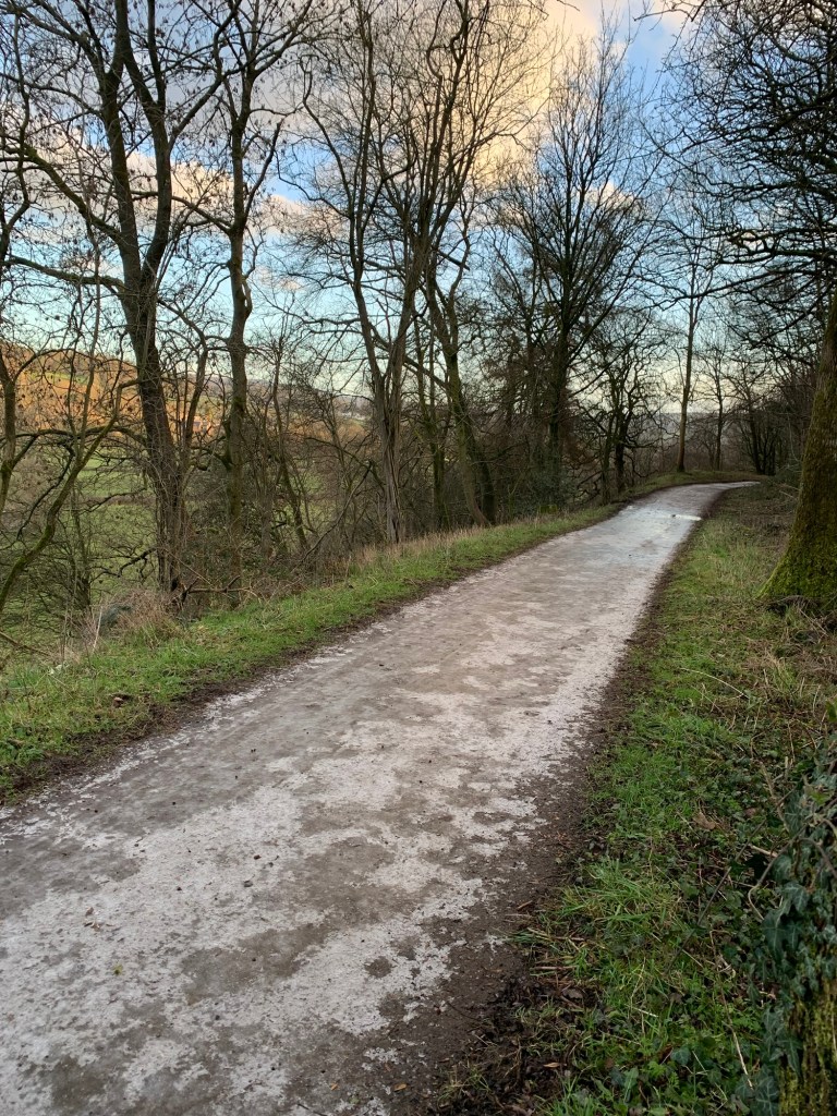
The path is an absolute delight and even the weather although still cold, is a little better.
We probably squandered the best bit of the day’s weather whilst in the cafe but the ominous clouds do seem to be avoiding us for the time being and we make it onto Barlow Lees Lane without incident.
Heading right along the lane we then take a footpath on the left which is just about defined enough to follow
and this leads us out onto Cowley Lane which we follow to the left and almost all the way into Holmesfield.
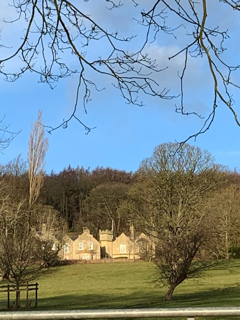
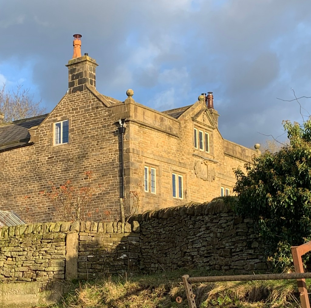
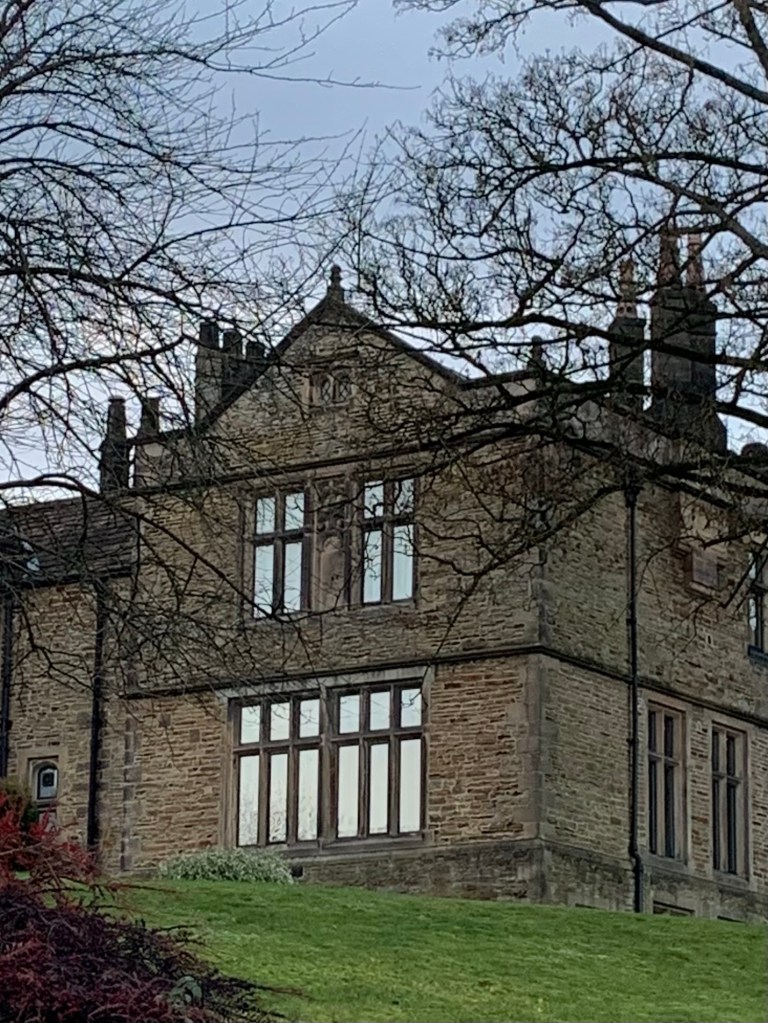
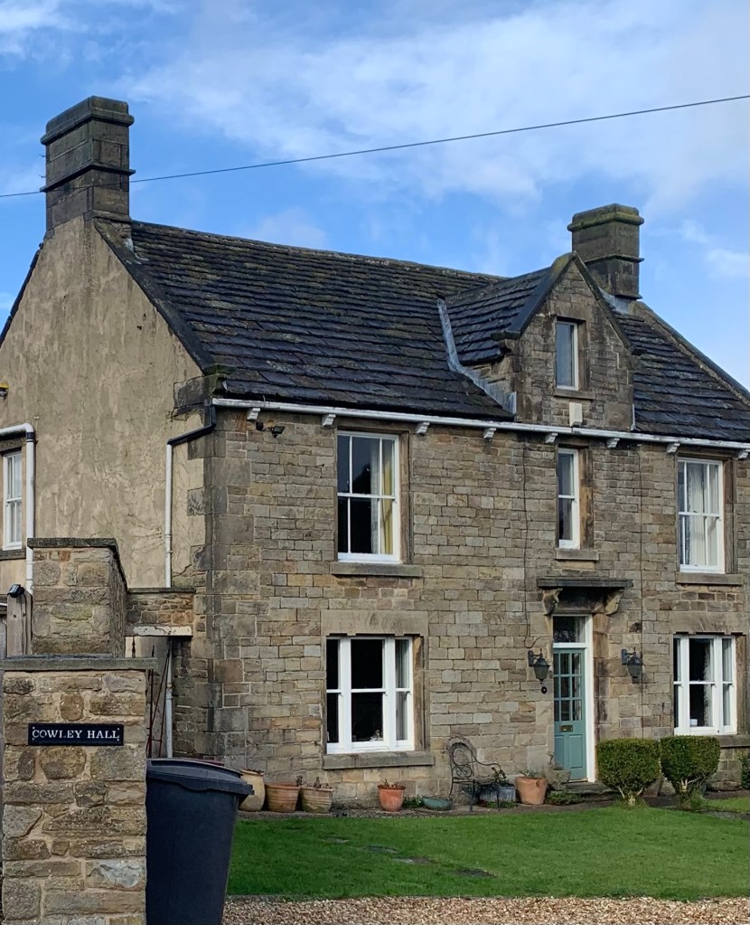
But first it’s time for another hall; this time it’s Cowley Hall which is a bit lower key in appearance than others we’ve passed today but is apparently on an historic site where there have been dwellings of some kind or other since the eleventh century.
We take the next footpath on the left and soon emerge at the more splendid Carteledge Hall where the Wolstenholme family lived in the 16th century.
They seem to have joined forces with the Fanshawes to some extent and, like them, were extensive land owners who later profited from the local industries of coal and manufacturing.
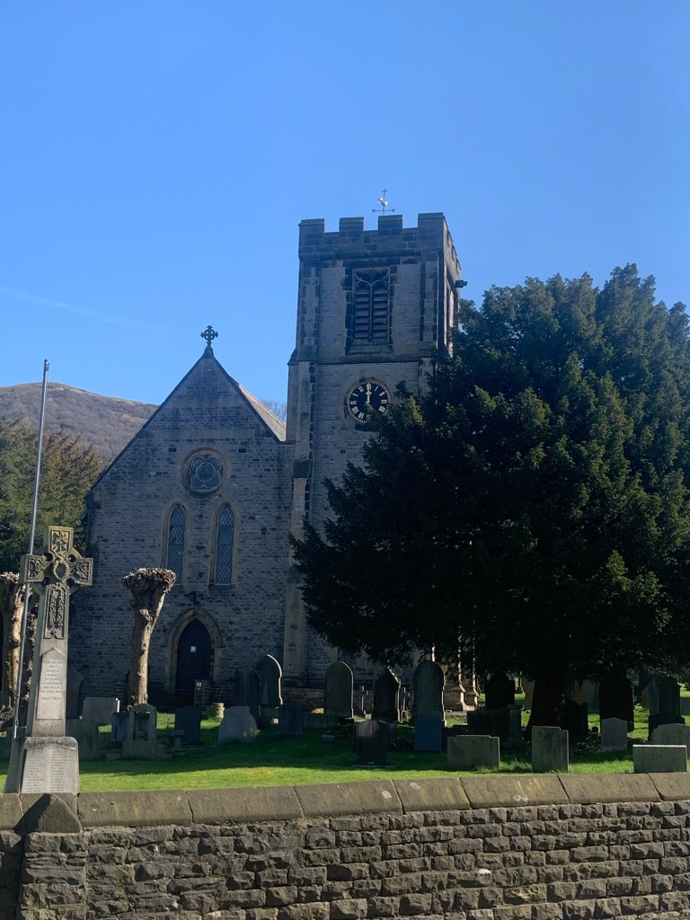
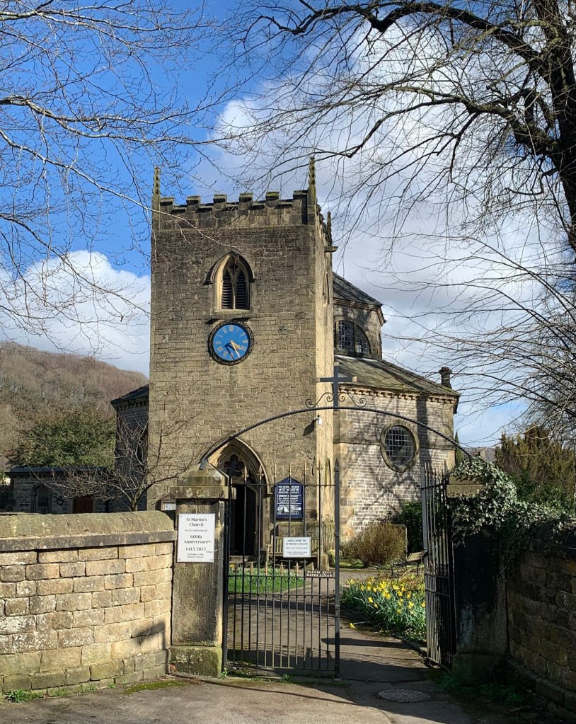
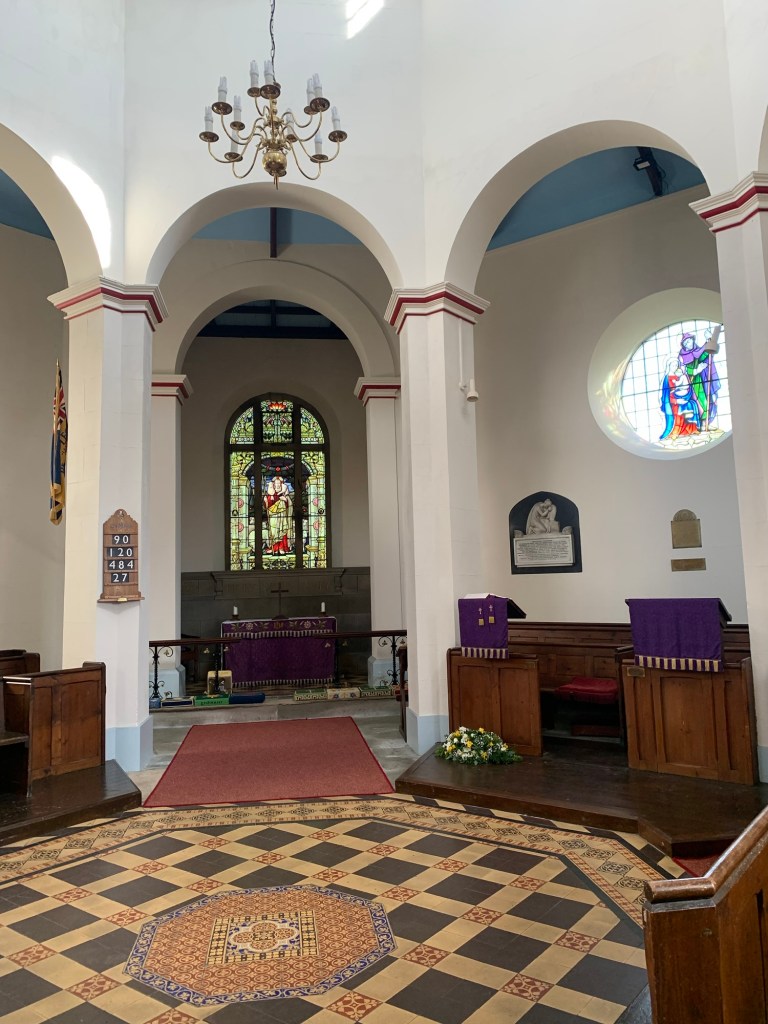
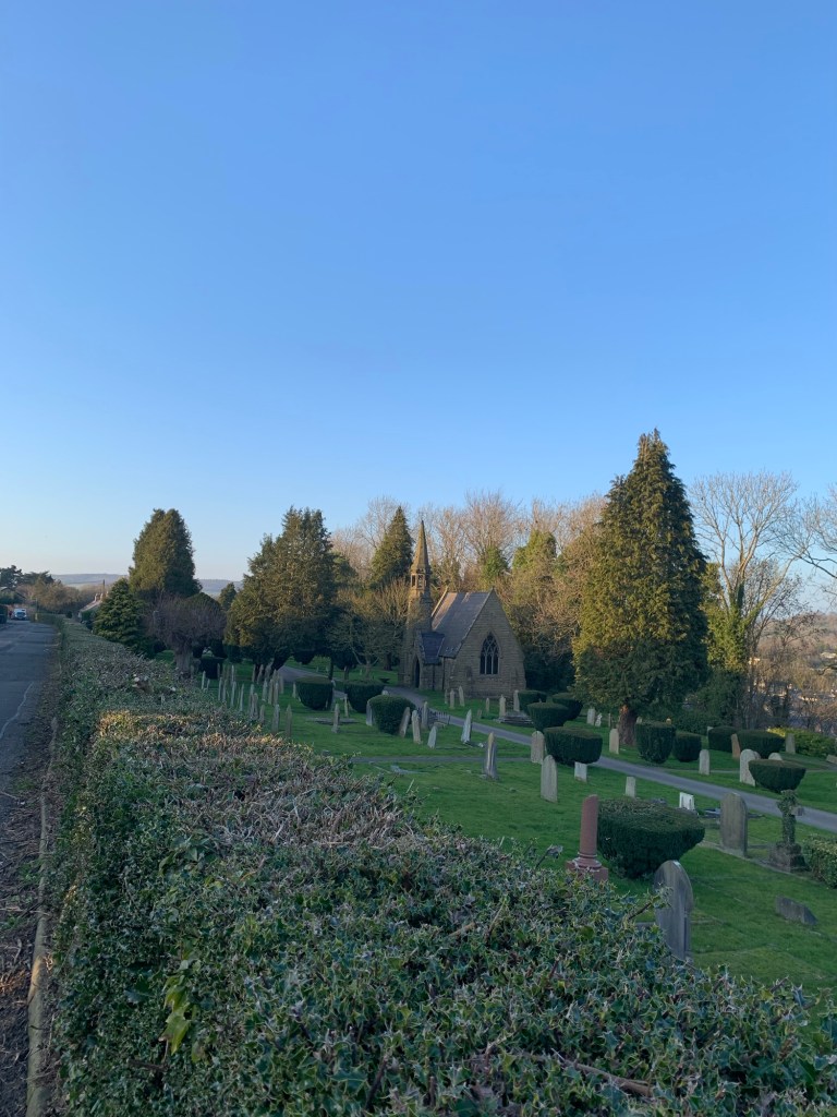
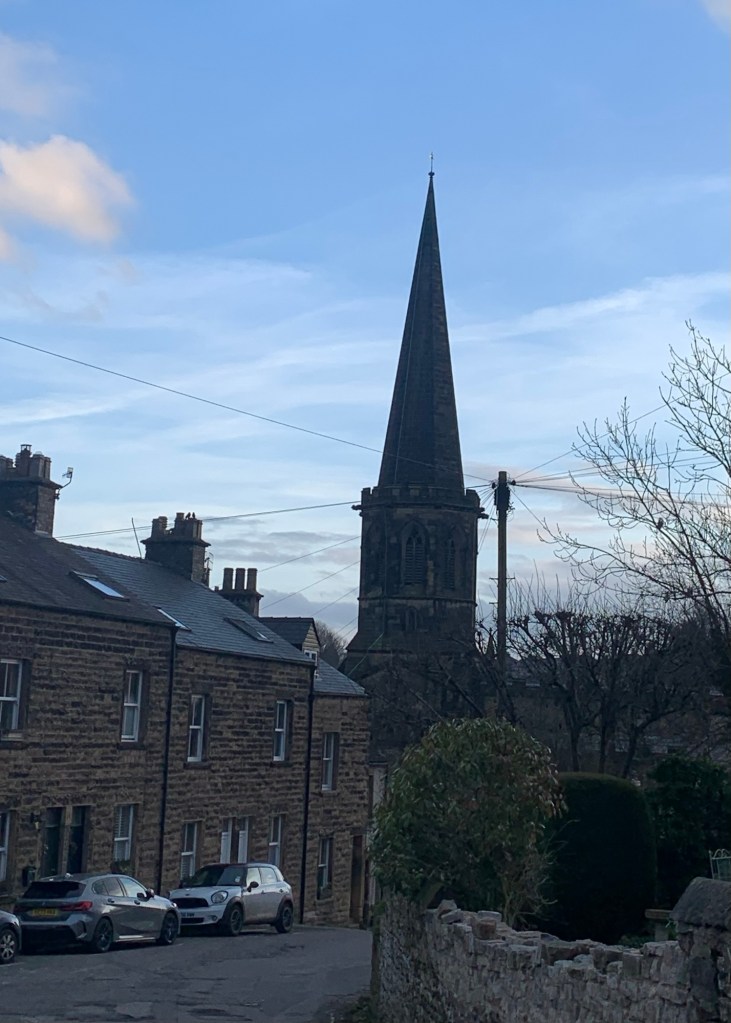
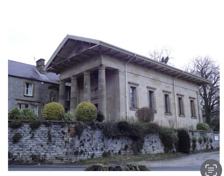
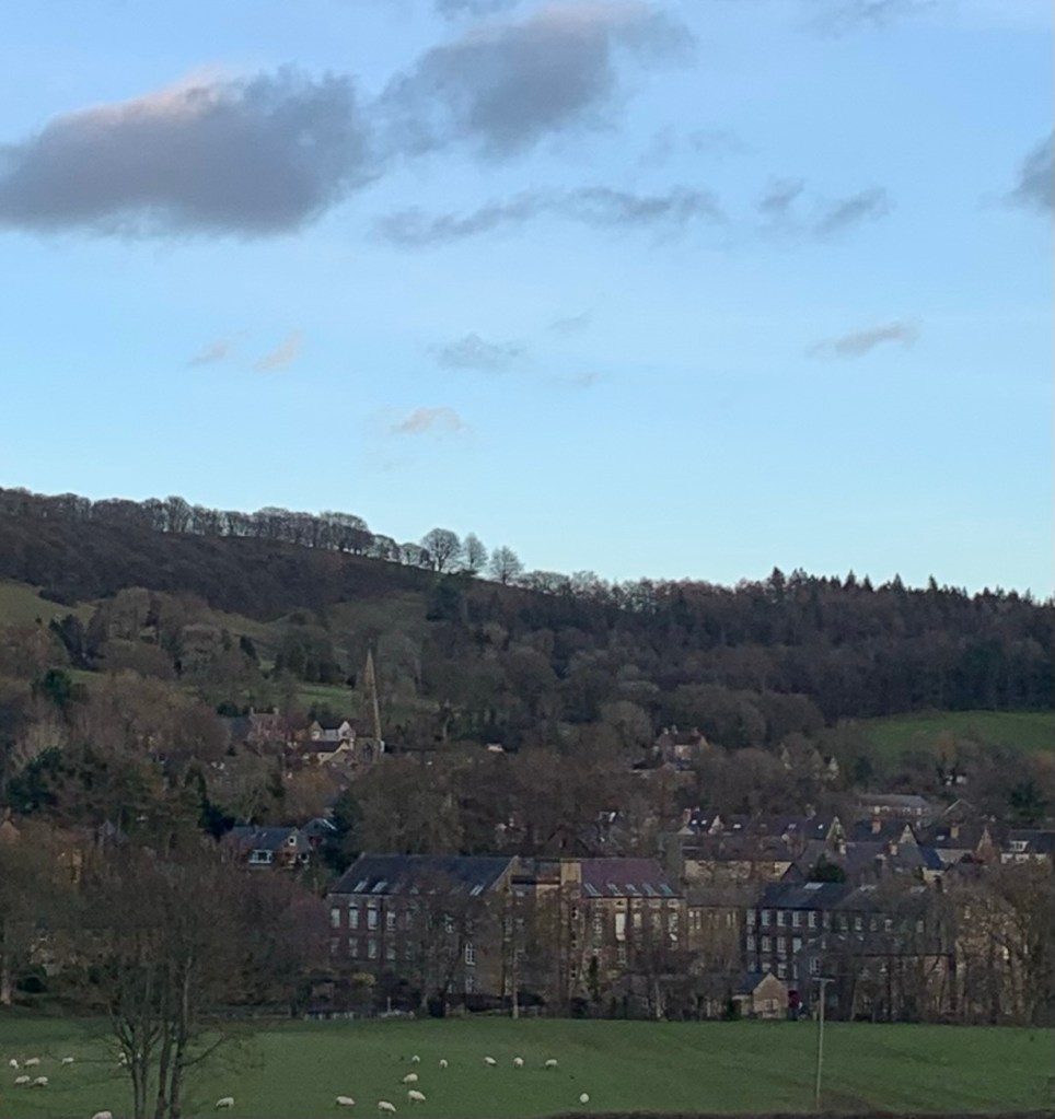
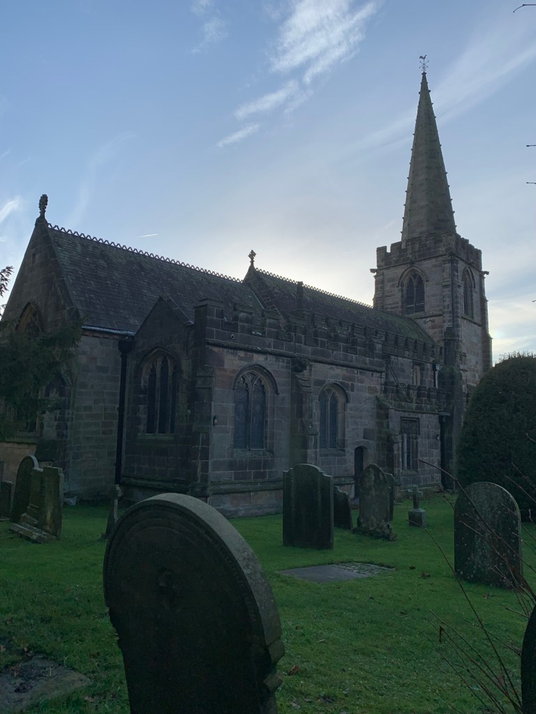
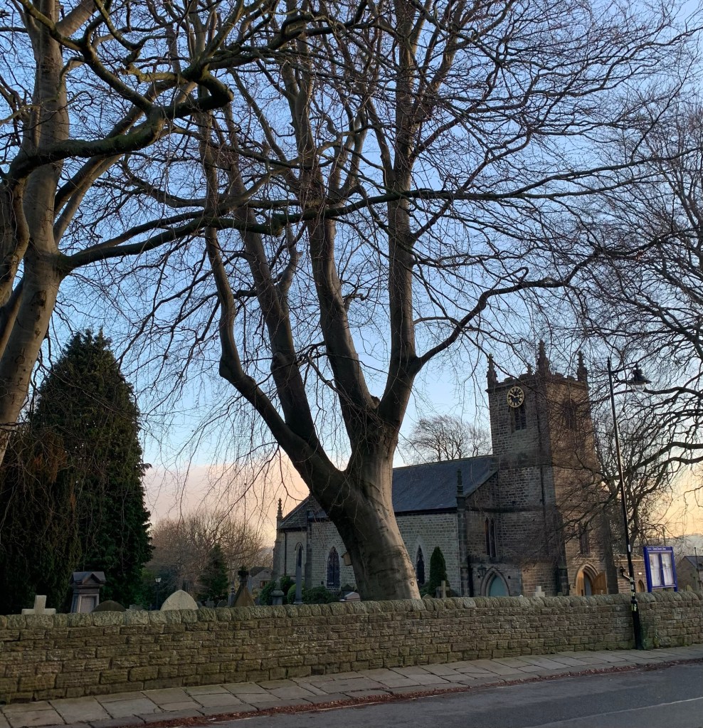
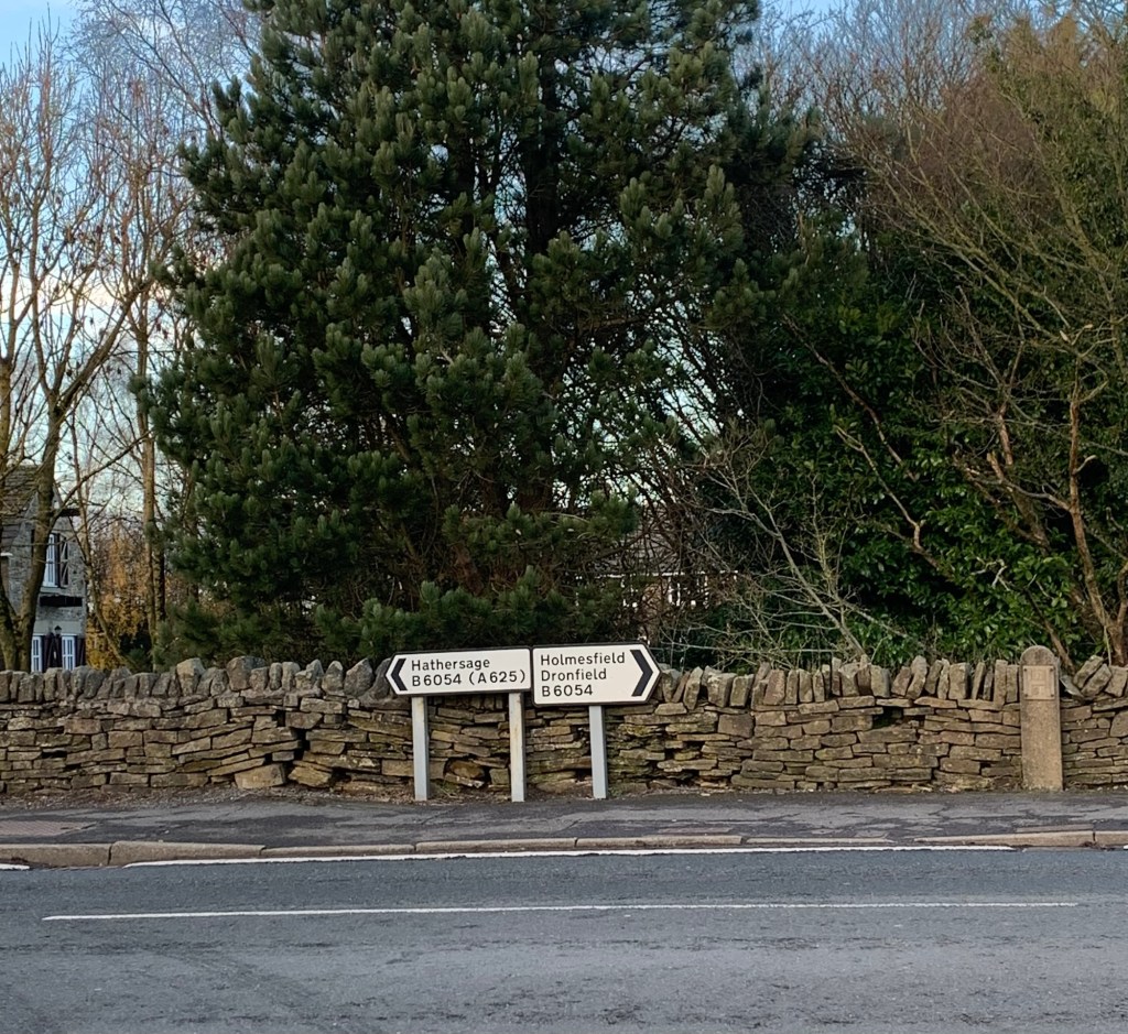
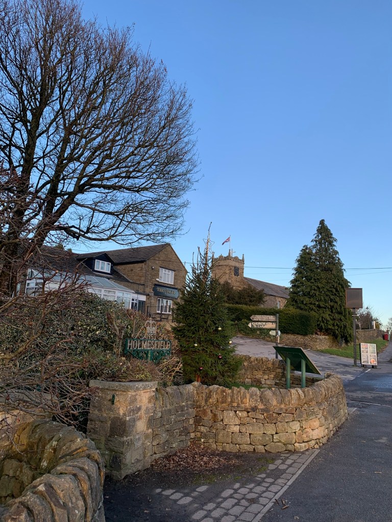
We cross Millthorpe Lane and take the path straight opposite to the unusual five way junction of paths at which we turn right for Holmesfield where we come out onto the main road opposite the Angel pub and St Swithin’s Church.
Our path which lies between the two, takes us into Holmesfield Park Woods and we realise too late, that we’ve missed a hall in Holmesfield but we’re happy to leave that for another day.
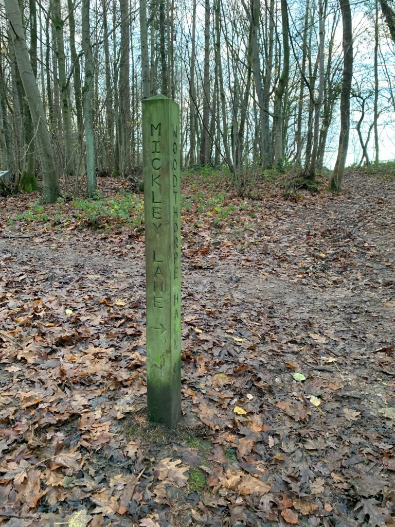
After the woods we emerge onto a different part of Fanshawe Gate Lane and turn right.
Then we take a left, along the footpath which fairly successfully shields Woodthorpe Hall ( the final one of the day) from view.
It’s all downhill now to Totley Brook not without a final helping of mud and threatening weather
but psychologically at least we’re home and dry as we head back to Totley and the bus stop just below the Cross Scythes pub to wait for our bus back home.
It’s been quite a demanding walk with more local interest than we could do justice to in today’s conditions but we will definitely be back over this way again sometime in the future to give the area another try. And I’m quite sure Hackney House cafe will feature on the route.
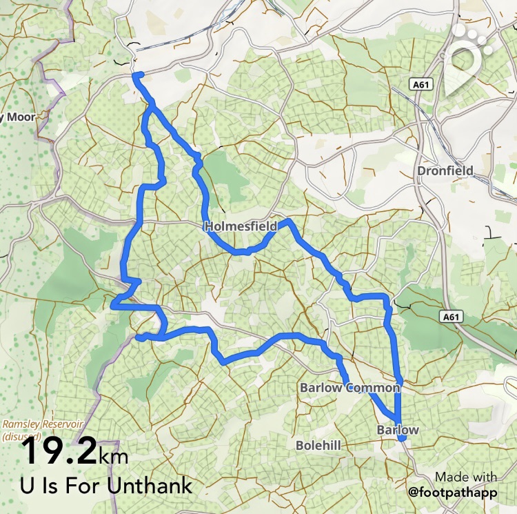
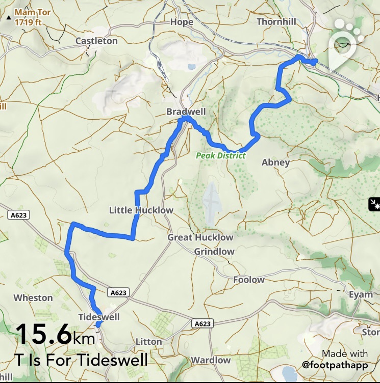
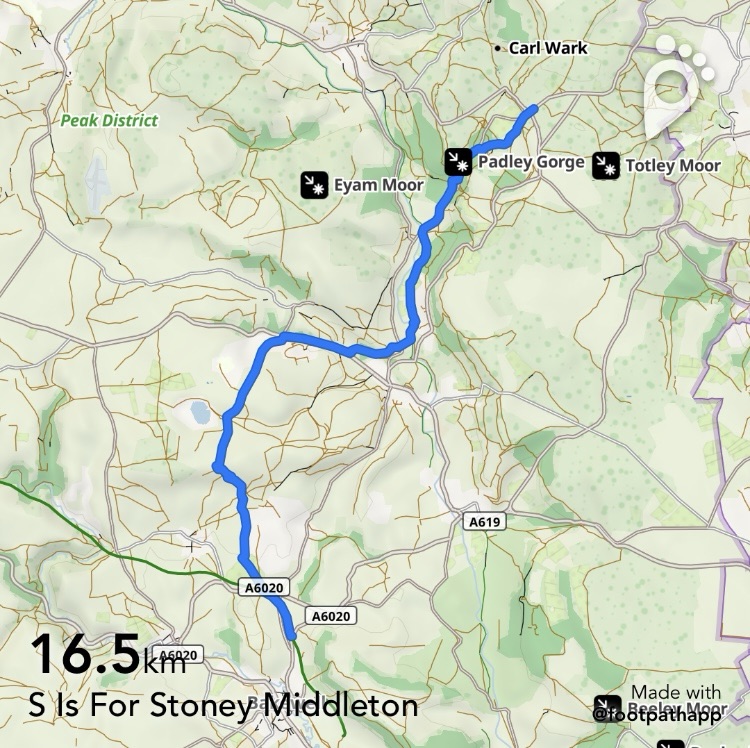
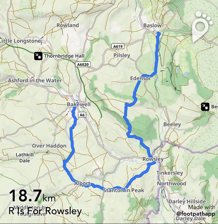
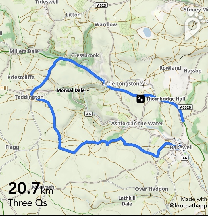
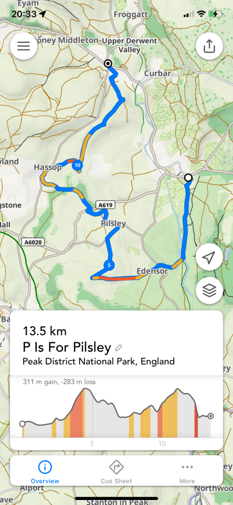
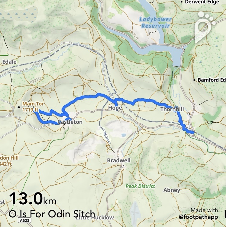
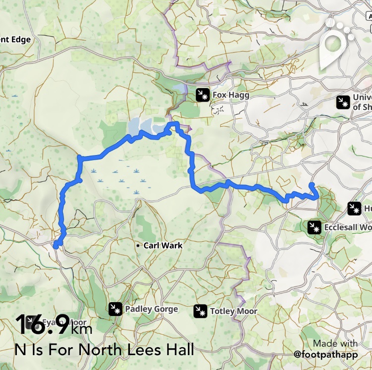
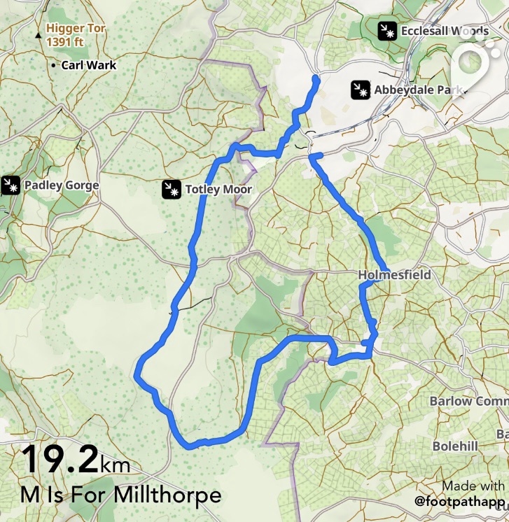
https://footpathapp.com/routes/38026B55-F627-4D57-BFB2-309112968046?units=metric
Transport
97 or 218 Bus from Sheffield to Totley Cross Scythes and back again from the same stop as this is a circular route.
Pubs/Cafes
The Royal Oak just off route at Millthorpe
Hackney House Cafe, Barlow
Cross Scythes, Totley
How far?
Around 25k
Route Synopsis
Totley- Fanshaw Gate- Holmesfield Road-Milthorpe Brook-Unthank-( Milthorpe just off route)- Johnnygate- Highlightly- Crowhole-Commonside-Barlow- Cowley- Cartledge Lane- Holmesfield- Woodthorpe Hall-Totley
Dogs?
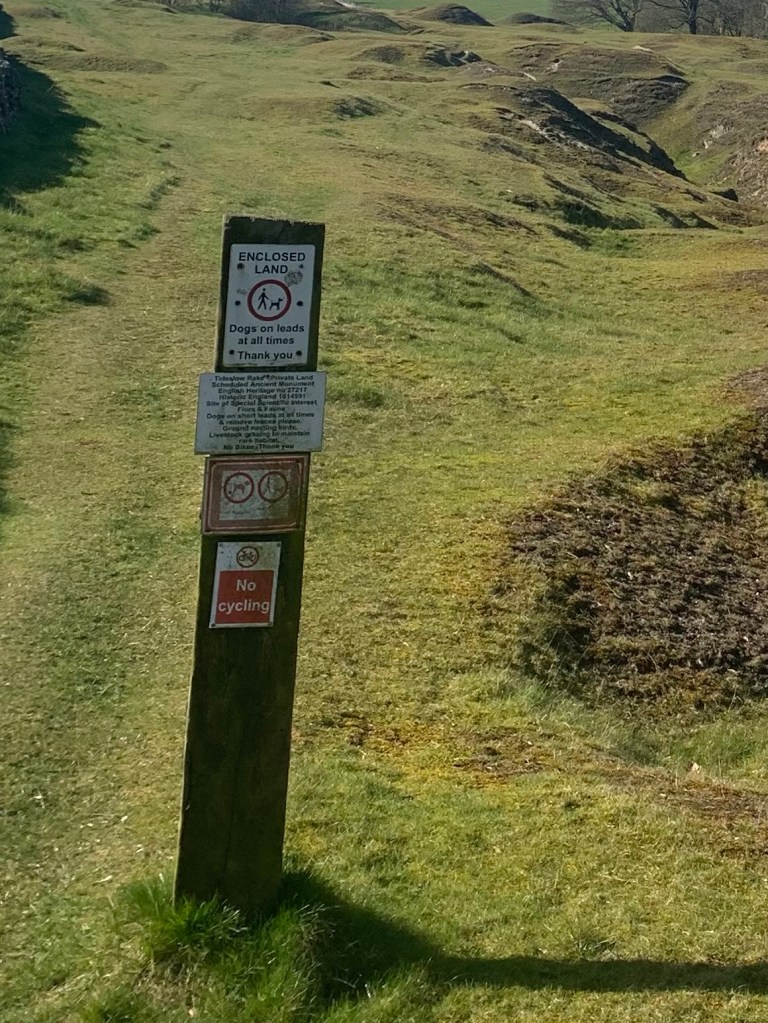
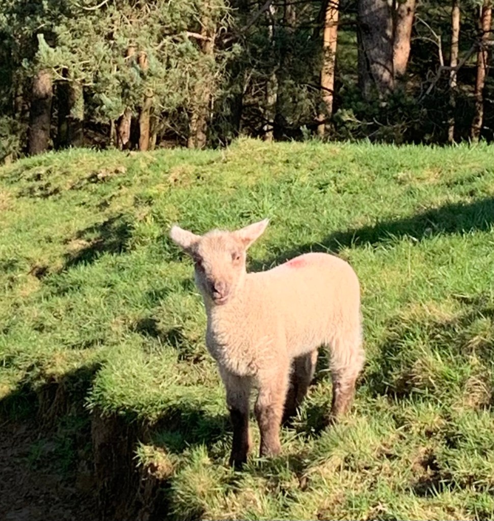
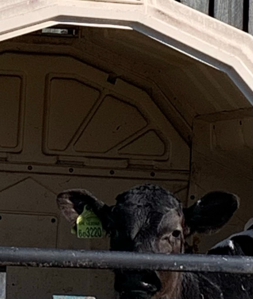
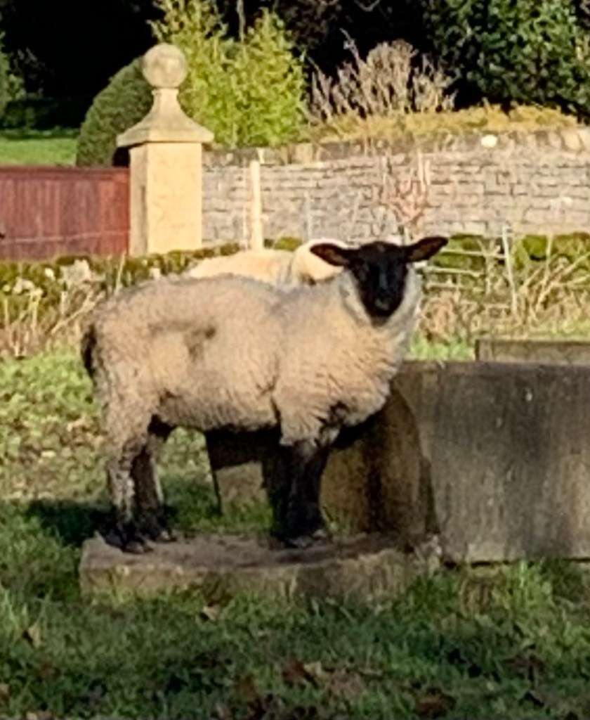
We didn’t meet any livestock today but dogs would need to be on the lead and fit enough for a long walk.
Map
OS White Peak